Utah public land
Utah Public Hunting Land
388 hunting land records are grouped into eight kinds, and the closed places have their own list.
388Records
29Counties
44Closed places
Photo: cloud.shepherd (CC BY 2.0)
Land by kind
Utah public hunting ground comes in more shapes than most states: DWR runs 140 management areas, private operators run 128 permit units, and the Forest Service and BLM hold the largest blocks.
Land records per county
No county is left out: Box Elder County tops the list at 66.
| County | Records | DWR region |
|---|---|---|
| Box Elder County | 66 | Northern |
| Cache County | 39 | Northern |
| Utah County | 39 | Central |
| Sanpete County | 32 | Central |
| Summit County | 31 | Northern |
| Millard County | 29 | Southern |
| Wasatch County | 28 | Central |
| Duchesne County | 27 | Northeastern |
| Juab County | 27 | Central |
| Sevier County | 27 | Southern |
| Morgan County | 26 | Northern |
| Carbon County | 23 | Southeastern |
| Weber County | 20 | Northern |
| Daggett County | 18 | Northeastern |
| Emery County | 18 | Southeastern |
| Piute County | 18 | Southern |
| Uintah County | 18 | Northeastern |
| Garfield County | 16 | Southern |
| Grand County | 16 | Southeastern |
| Iron County | 16 | Southern |
| Rich County | 15 | Northern |
| San Juan County | 14 | Southeastern |
| Davis County | 13 | Northern |
| Kane County | 13 | Southern |
| Tooele County | 13 | Central |
| Beaver County | 12 | Southern |
| Washington County | 10 | Southern |
| Salt Lake County | 9 | Central |
| Wayne County | 9 | Southeastern |
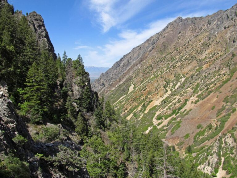
American Fork Canyon from Timpanogos Cave entrance, UtahPhoto: Ken Lund (CC BY-SA 2.0)

Jordan River & Utah Lake – 2015.08.22 – andrey zharkikhPhoto: Andrey Zharkikh (CC BY 2.0)

Desert scenery, UtahPhoto: Famartin (CC BY-SA 4.0)