Home › Virginia › Public land › State forests
State and federal sources
State forests, Seasons, Rules and Maps
18 state forests, taken from state and federal records, in 19 counties and cities.
Scenery only: the picture does not show any one place on the list.
Photo: Idawriter (CC BY-SA 3.0)
State forests: counts and sizes
Across 19 localities the files hold 18 state forests and 73,716 acres.
Appomattox-Buckingham SF is the biggest at 19,513 acres; Cumberland State Forest and Dragon Run State Forest follow.
1 of 18 entries name deer in their hunting text.
Sunday access differs forest by forest (12 open), and 2 forests are lottery only; closed ones are on the closed list.
Counts from the Virginia land records (DWR public lands page, DOF, DCR, Forest Service, Fish and Wildlife Service, Corps and installation pages), retrieved Nov. 18, 2026; checked November 18, 2026. Acres are printed sizes and are not added across kinds.
Find your forest
| Area | Type | Located in | Acreage | Hunting |
|---|---|---|---|---|
| Appomattox-Buckingham SF | State forest | Appomattox, Buckingham | 19,513 | Use permit |
| Big Woods State Forest | State forest | Sussex | 2,403 | Use permit |
| Browne State Forest | State forest | Essex | 128 | Use permit |
| Channels State Forest | State forest | Washington | 4,836 | Use permit |
| Charlotte State Forest | State forest | Charlotte | 6,504 | Use permit |
| Chesterfield State Forest | State forest | Chesterfield | 440 | Use permit |
| Chilton Woods State Forest | State forest | Lancaster | 397 | Use permit |
| Conway Robinson State Forest | State forest | Prince William | 445 | Lottery only |
| Cumberland State Forest | State forest | Buckingham, Cumberland | 16,154 | Use permit |
| Devil's Backbone State Forest | State forest | Shenandoah | 706 | Use permit |
| Dragon Run State Forest | State forest | King and Queen | 9,563 | Use permit |
| First Mountain State Forest | State forest | Rockingham | 573 | Use permit |
| Lesesne State Forest | State forest | Nelson | 422 | Use permit |
| Matthews State Forest | State forest | Grayson | 566 | Use permit |
| Moore's Creek State Forest | State forest | Rockbridge | 2,353 | Use permit |
| Prince Edward-Gallion SF | State forest | Prince Edward | 6,491 | Use permit |
| Sandy Point State Forest | State forest | King William | 2,074 | Use permit |
| Whitney State Forest | State forest | Fauquier | 148 | Lottery only |
Counts and names from the Virginia land records, retrieved Nov. 18, 2026.
Mapped records
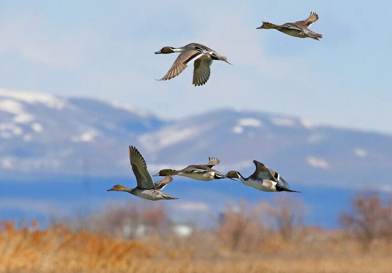
Northern pintails in flightPhoto: USFWS Headquarters (CC BY 2.0)
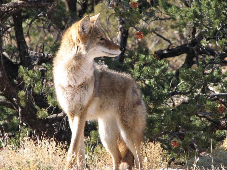
Coyote walkingPhoto: ZionNPS (CC BY 2.0)
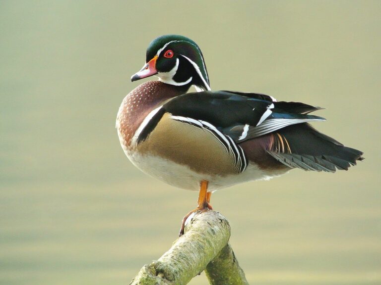
Male wood duckPhoto: Frank.Vassen (CC BY 2.0)
Common questions, state forests
Is baiting allowed on the state forests?
No: hunting over bait is unlawful statewide, and DWR bans attractants for bear, deer and turkey year round on national forest and Department-owned land (DWR baiting rules).
Are the state forests open on Sundays?
Sunday hunting is lawful under the DWR Sunday page, and individual areas, such as Fort AP Hill, can set their own days.
Are most state parks open to hunters?
The closed list holds 47 closed places in three groups.
How do I pick one near my town?
Search the table by name or locality; the land map shows the same lands as pins.
Does the Commonwealth have many state forests?
The count is 18 records across 19 localities and 73,716 printed acres.
Is there a stamp or extra permit for these lands?
The base license is $28 for residents and $136 for nonresidents; add-ons are on the license page.
Is there a lottery for the state forests?
The license is the start; state forest use permits, park reservations, PALS permits and iSportsman registration are the add-ons.
Which of the state forests covers the most land?
The largest is Appomattox-Buckingham State Forest (19,513 acres), on Appomattox-Buckingham SF.
Next steps
Roads wash out and gates close, so call the regional office before a long drive.