Home › Ohio › Public land › Cascade Wayside Wildlife Area
Wildlife area · Ohio public hunting land
Hunting Cascade Wayside Wildlife Area: what the ODNR record shows
36 acres of public state wildlife area ground in Putnam County.
Photo: Art Anderson (CC BY-SA 3.0)
Getting to Cascade Wayside Wildlife Area
What kind of place Cascade Wayside Wildlife Area is
Expect 36 acres of state wildlife area here, in Putnam County, with the ODNR Division of Wildlife in charge. In ODNR terms this is District 2 country, with district staff based in Findlay. Habitat named by ODNR includes river and woods. Non-hunters share the ground for birding and fishing. In the parcel data the land is owned outright by the state. In the Ohio Administrative Code it is "Cascade way side" (1501:31-15-04(A)(1)).
In the words of its ODNR page:
“It is comprised of mostly woodlands along the Auglaize River.”
Not every ODNR source agrees: the spread is 35 to 36 acres.
| Where the figure comes from | Acres |
|---|---|
| ODNR property page | 36 |
| Property Details layer | 36 |
| Water (Property Details) | 5 |
| Hunting-status layer | 35 |
| GIS parcel area | 35 |
From the ODNR property page, ODNR hunting-status layer, OAC; retrieved 2026-11-05, checked November 6, 2026.
Nearby
Places to hunt and shoot around Cascade Wayside Wildlife Area
Cascade Wayside Wildlife Area: 2026 controlled hunting
For 2026 the controlled hunts here number 1: 1 trapping. You pay $3 per hunt applied for, online, in the app or by phone. Furbearer and beaver-otter permits are drawn at district offices on the first Saturday in October.
| No. | Hunt name | Type | Application | Packet |
|---|---|---|---|---|
| 2996 | Cascade WA beaver/otter trapping | Trapping | In person, Oct. 3 | packet |
Hunts from the ODNR controlled hunting access lotteries page and the 2026-27 regulations, pp. 26-27; checked November 6, 2026.
Before the first shot on Cascade Wayside Wildlife Area
All of Cascade Wayside Wildlife Area carries the open status in the ODNR layer.
- Keep trucks on the open roads and in marked lots.
- Leave the tent at home: no camping here.
- Hours: other visitors leave by 8 p.m. from September 1 to May 1.
- No casual shooting: guns are for hunting, trapping or a Division range.
- Baiting deer is banned on all public hunting areas.
- Tree stands must be portable, with no nails or screw-in steps.
- Public land limit: no more than two antlerless deer a year.
- A few hunts are permit-only.
From the agency page, public hunting area rules; checked November 6, 2026.
Cascade Wayside Wildlife Area season dates, game by game
For trapping, here are the 2026-27 windows that apply on Cascade Wayside Wildlife Area.
| Game | Kind | Begins | Ends | Limit |
|---|---|---|---|---|
| Mink | Trapping | Nov 10, 2026 | Feb 28, 2027 | No limit |
| Muskrat | Trapping | Nov 10, 2026 | Feb 28, 2027 | No limit |
| Beaver | Trapping | Dec 26, 2026 | Feb 28, 2027 | No limit |
| River otter | Trapping | Dec 26, 2026 | Feb 28, 2027 | 1 of the 3 |
Dates and limits from the 2026-27 hunting seasons list and the 2026-27 Ohio Hunting and Trapping Regulations; species from the record (controlled hunt lotteries); checked November 6, 2026.
What else lies near Cascade Wayside Wildlife Area on the map
First on the neighbour list is Putnam County Wildlife Area 2, 2 miles away and east of here. Six neighbours by kind: 5 wildlife areas and 1 public access area.
| Nearby | Type | Acres | County | Miles | Heading |
|---|---|---|---|---|---|
| Putnam County WA 2 | Wildlife area | 41 | Putnam | 2 miles | east |
| Putnam County WA 3 | Wildlife area | 41 | Putnam | 3 miles | west |
| Putnam County WA #4 | Wildlife area | 64 | Putnam | 3 miles | southeast |
| Putnam County WA 1 | Wildlife area | 39 | Putnam | 4 miles | east |
| Ottoville Quarry Wildlife Area | Wildlife area | 7 | Putnam | 6 miles | southwest |
| Five Mile Creek – Auglaize River Access | Access area | 6 | Defiance | 16 miles | northwest |
Point: ODNR DNR_Lands_Hunting_Status layer, 1 parcel (polygon centroid of the largest part). Straight-line distances. Closed places from the lands.json closed list. Checked November 6, 2026. Statewide public land map.
Zone and limit check for Cascade Wayside Wildlife Area
County limit where it lies: 3 deer (Putnam County). ODNR counted 1,376 deer in Putnam County for 2025-26, 847 of them antlerless. Early 2026-27 tally (to November 3, 2026): 313 deer.
| County | Deer bag | DSA | Duck zone | Turkey | Fall | 2025-26 |
|---|---|---|---|---|---|---|
| Putnam County | 3 deer | No | B | South | Open | 1,376 |
From the deer bag limit map, DSA, waterfowl zones, turkey zones, 2025-26 deer harvest report, harvest to date (ODNR Division of Wildlife); checked November 6, 2026.
Towns and outfitters a short drive from Cascade Wayside Wildlife Area
Fuel, ice and groceries: Ottawa is nearest, 13 miles away. A bigger stop is Lima, population 34,690. The closest ODNR desk: Findlay, 32 miles in a straight line.
| Nearest towns | County | Population | Miles | Heading |
|---|---|---|---|---|
| Ottawa | Putnam | 4,422 | 13 miles | east |
| Paulding | Paulding | 3,532 | 18 miles | northwest |
| Defiance | Defiance | 17,180 | 19 miles | north |
| Van Wert | Van Wert | 11,123 | 19 miles | southwest |
| Lima | Allen | 34,690 | 21 miles | southeast |
Towns from places.json (Census 2024 estimates); ODNR offices and businesses from services.json listings; straight-line miles. Checked November 6, 2026.
Daylight math for Cascade Wayside Wildlife Area, worked from its own point
The sun comes up roughly a quarter hour later in Defiance than in Marietta, so use the times worked out for Cascade Wayside Wildlife Area rather than a Columbus table.
| Date | Season point | Sunrise | Sunset | Deer | Waterfowl, squirrel | Rabbit, pheasant, dove |
|---|---|---|---|---|---|---|
| Sep 26, 2026 | Archery deer opens | 7:27 a.m. | 7:30 p.m. | 6:57 a.m. to 8:00 p.m. | 6:57 a.m. to 7:30 p.m. | 7:27 a.m. to 7:30 p.m. |
| Oct 1, 2026 | Fall turkey | 7:32 a.m. | 7:21 p.m. | 7:02 a.m. to 7:51 p.m. | 7:02 a.m. to 7:21 p.m. | 7:32 a.m. to 7:21 p.m. |
| Nov 6, 2026 | Rabbit and pheasant | 7:13 a.m. | 5:29 p.m. | 6:43 a.m. to 5:59 p.m. | 6:43 a.m. to 5:29 p.m. | 7:13 a.m. to 5:29 p.m. |
| Nov 21, 2026 | Second duck split | 7:31 a.m. | 5:15 p.m. | 7:01 a.m. to 5:45 p.m. | 7:01 a.m. to 5:15 p.m. | 7:31 a.m. to 5:15 p.m. |
| Nov 30, 2026 | Deer gun week | 7:41 a.m. | 5:11 p.m. | 7:11 a.m. to 5:41 p.m. | 7:11 a.m. to 5:11 p.m. | 7:41 a.m. to 5:11 p.m. |
| Dec 21, 2026 | Shortest day | 7:58 a.m. | 5:12 p.m. | 7:28 a.m. to 5:42 p.m. | 7:28 a.m. to 5:12 p.m. | 7:58 a.m. to 5:12 p.m. |
| Jan 2, 2027 | Muzzleloader | 8:02 a.m. | 5:19 p.m. | 7:32 a.m. to 5:49 p.m. | 7:32 a.m. to 5:19 p.m. | 8:02 a.m. to 5:19 p.m. |
Hours rules from the 2026-27 Ohio Hunting and Trapping Regulations; sunrise and sunset worked out for this location with the NOAA solar formula (Eastern Time); checked November 6, 2026. Legal hours for every county.
Maps and contacts for Cascade Wayside Wildlife Area
The Wildlife District Two office is at 952 Lima Ave, Findlay, OH 45840 (419-424-5000). Report problems to Jason Porinchok, the county wildlife officer, at (419) 429-8391. Report poaching at 1-800-762-2437.
- Area map PDF (published 5/19/2022) · legend: parking area, parking
- Cascade Wildlife Area Map [pdf]
- Point on Google Maps
Address and phone from the agency page and the ODNR Property Details layer; district offices from the ODNR Districts layer; officers from the officer list; point from ODNR DNR_Lands_Hunting_Status layer, 1 parcel (polygon centroid of the largest part); checked November 6, 2026.
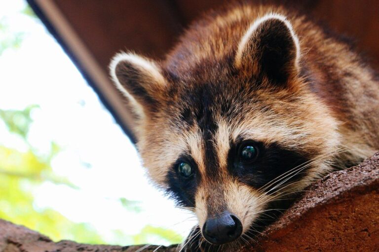
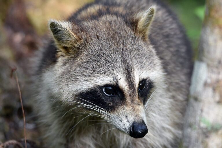
Pictures from Cascade Wayside Wildlife Area country and its game

Cascade Wayside Wildlife Area: the nearest public range, then clubs
Cascade Wayside Wildlife Area hunters reach Oxbow Lake Wildlife Area Shooting Range, the nearest ODNR-listed range, after about 24 miles. Private and club lines no more than 30 miles away complete the set.
From ODNR’s public range list and range pages, ranges’ own pages and directory listings, checked November 6, 2026.
Cascade Wayside Wildlife Area questions, from permits to parking
What size is Cascade Wayside Wildlife Area on the ODNR books?
It takes in 36 acres of ground. GIS and map figures vary.
What deer limit covers Cascade Wayside Wildlife Area?
3 deer, the Putnam County limit. One antlered deer statewide; public areas cap antlerless deer at two a year.
Does ODNR draw permits for Cascade Wayside Wildlife Area?
Yes, 1 hunt in 2026: trapping. The fee is $3 a hunt.
Which Ohio waterfowl zone covers Cascade Wayside Wildlife Area?
Waterfowl Zone B: ducks Oct 17 to Oct 25, 2026; Nov 21, 2026 to Jan 10, 2027.
Where can hunters stay overnight at Cascade Wayside Wildlife Area?
Not allowed; only three wildlife areas have camping.
What are the stand and baiting rules on Cascade Wayside Wildlife Area?
Bait is banned on public land; use portable stands only.
Orange clothing rules at Cascade Wayside Wildlife Area?
Wear an orange vest, coat or coveralls in all deer gun weeks; duck hunters are exempt.
What time can I start deer hunting at Cascade Wayside Wildlife Area?
Legal deer light on November 30, 2026: 7:11 a.m. to 5:41 p.m.
Who should I phone about hunting Cascade Wayside Wildlife Area?
The area phone is (419) 424-5000.
How far is Cascade Wayside Wildlife Area from the closest town?
Ottawa (13 miles).
Are parts of Cascade Wayside Wildlife Area closed to hunters?
Yes, ODNR marks it open.
What is the deadline to report a deer from Cascade Wayside Wildlife Area?
By noon the following day, through HuntFish OH, wildohio.gov or by phone.
Can I hunt Cascade Wayside Wildlife Area on a Sunday in Ohio?
Ohio law has no Sunday closure.
Cascade Wayside Wildlife Area: the night-before checklist
Saw a violation on Cascade Wayside Wildlife Area? Call 1-800-POACHER; tips can stay anonymous.
Sources: source 1 · source 2 · source 3 · source 4 · source 5; seasons from the 2026-27 Ohio Hunting and Trapping Regulations. Checked November 6, 2026.
Other photos on this page: Juliana Chong (CC BY 2.0); Charles Patrick Ewing (CC BY 2.0); U.S. Fish and Wildlife Service (Public Domain Mark 1.0).