Home › Ohio › Public land › Van Tassel Wildlife Area
Wildlife area · Northwest Ohio woods and fields
Van Tassel Wildlife Area hunting guide for 2026-27
102 acres on record as a state wildlife area in Wood County.
Photo: Nyttend (Public domain)
Getting to Van Tassel Wildlife Area
Parking, trailheads and gates near Van Tassel Wildlife Area
- Parking areaParking · 2.1 mi from the centreDirections
- Otsego Park (Service Parking)Parking · 2.1 mi from the centreDirections
- Otsego Park Parking LotParking · 2.2 mi from the centreDirections
- Parking areaParking · 2.4 mi from the centreDirections
- Parking areaParking · 2.4 mi from the centreDirections
- Parking areaParking · 2.4 mi from the centreDirections
- Parking areaParking · 2.4 mi from the centreDirections
- Parking areaParking · 2.5 mi from the centreDirections
- Parking areaParking · 2.5 mi from the centreDirections
- Parking areaParking · 2.5 mi from the centreDirections
- Parking areaParking · 2.6 mi from the centreDirections
- Parking areaParking · 2.6 mi from the centreDirections
Parking, trailhead and gate locations come from OpenStreetMap contributors. Roads into public land can be gated or seasonal; check with the managing agency before you go.
What Van Tassel Wildlife Area allows and what it bans
The hunting-status layer shows Van Tassel Wildlife Area as open throughout.
- Motor vehicles: designated roads and parking only.
- No camping; only three wildlife areas allow it.
- After 8 p.m. in season only hunters, trappers and anglers may be there.
- Firearms only while hunting or trapping, or on a designated range.
- No bait, salt or feed for deer or birds.
- Climbers and ladders are fine if nothing pierces the tree.
- Antlerless cap: two per license year across public hunting areas.
- Controlled lottery hunts run here too.
From the agency page, public hunting area rules; checked November 6, 2026.
Nearby
Places to hunt and shoot around Van Tassel Wildlife Area
Van Tassel Wildlife Area by the numbers ODNR keeps
Van Tassel Wildlife Area: 102 acres in Wood County, classed as a state wildlife area and managed by the ODNR Division of Wildlife. Northwest Ohio is its home district; the district office sits in Findlay. ODNR tags the land with woods and brush. Besides hunting, people come for boating, birding and fishing. Ownership on file: owned outright by the state. Legal footing: OAC 1501:31-15-04(A)(1) ("Van Tassel").
The agency describes it this way:
“These wildlife areas are located in Wood and Lucas counties in the Maumee River.”
Mapping methods differ, so size ranges from 102 to 104 acres.
| Layer or document | Acres |
|---|---|
| Property Details layer | 102 |
| Water (Property Details) | 2 |
| Hunting-status layer | 102 |
| GIS parcel area | 104 |
From the ODNR property page, ODNR hunting-status layer, OAC; retrieved 2026-11-05, checked November 6, 2026.
2026-27 season dates for the game on Van Tassel Wildlife Area
Game on record for Van Tassel Wildlife Area: trapping.
| Species | Season | Opening | Closing | Bag |
|---|---|---|---|---|
| Mink | Trapping | Nov 10, 2026 | Feb 28, 2027 | No limit |
| Muskrat | Trapping | Nov 10, 2026 | Feb 28, 2027 | No limit |
| Beaver | Trapping | Dec 26, 2026 | Feb 28, 2027 | No limit |
| River otter | Trapping | Dec 26, 2026 | Feb 28, 2027 | 1 of the 3 |
Dates and limits from the 2026-27 hunting seasons list and the 2026-27 Ohio Hunting and Trapping Regulations; species from the record (controlled hunt lotteries); checked November 6, 2026.
Drawn hunts at Van Tassel Wildlife Area
Lottery hunts on Van Tassel Wildlife Area for 2026: 1 trapping. Applications are $3 apiece through wildohio.gov, the HuntFish OH app or by phone. Trappers draw in person at a district office on October 3, 2026.
| Hunt # | Drawing | Category | Apply | Rules PDF |
|---|---|---|---|---|
| 4005 | Van Tassel WA beaver-otter trapping | Trapping | In person, Oct. 3 | packet |
Hunts from the ODNR controlled hunting access lotteries page and the 2026-27 regulations, pp. 26-27; checked November 6, 2026.
Van Tassel Wildlife Area counties, limits and harvest
Hunters on this ground follow the Wood County limit of 3 deer. The 2025-26 deer total for Wood County was 1,434, by ODNR's final report. Running total to November 3, 2026: 301.
| County | Deer | Surveillance | Ducks | Spring zone | Fall season | Deer checked |
|---|---|---|---|---|---|---|
| Wood County | 3 deer | No | B | South | Closed | 1,434 |
From the deer bag limit map, DSA, waterfowl zones, turkey zones, 2025-26 deer harvest report, harvest to date (ODNR Division of Wildlife); checked November 6, 2026.
Van Tassel Wildlife Area and the open ground around it
When parking fills at Van Tassel Wildlife Area, Wood County Wildlife Area 1 waits 3 miles to the south. Close by are 3 wildlife areas, 2 public access areas and 1 state park. No hunting at Lanker Wildlife Area (no open parcels), Maumee Scenic River (scenic river land) and Lake Lepomis Wildlife Area (no open parcels).
| Public land | Kind | Acres | County | Distance | Direction |
|---|---|---|---|---|---|
| Wood County WA 1 | Wildlife area | 38 | Wood | 3 miles | south |
| Mary Jane Thurston SP | State park | 105 | Henry | 3 miles | west |
| Maumee River Weir Rapids WA | Access area | 6 | Wood | 4 miles | northeast |
| Missionary Island Wildlife Area | Wildlife area | 297 | Lucas | 5 miles | northeast |
| Wood County WA 7 | Wildlife area | 39 | Wood | 7 miles | southwest |
| Miltonville Maumee River Access | Access area | 1 | Wood | 7 miles | northeast |
Point: ODNR DNR_Lands_Hunting_Status layer, 1 parcel (polygon centroid of the largest part). Straight-line distances. Closed places from the lands.json closed list. Checked November 6, 2026. Statewide public land map.
Van Tassel Wildlife Area: towns, shops and the nearest ODNR office
The handiest town is Neapolis, 5 miles off. Bowling Green, 10 miles out, is larger: 30,463 people in 2024. ODNR Wildlife District 2: Northwest Ohio is the nearest Division office, roughly 29 miles away.
| Town | County | People (2024) | Distance | Direction |
|---|---|---|---|---|
| Neapolis | Lucas | – | 5 miles | northwest |
| Bowling Green | Wood | 30,463 | 10 miles | east |
| Perrysburg | Wood | 25,313 | 12 miles | northeast |
| Napoleon | Henry | 8,724 | 16 miles | west |
| Wauseon | Fulton | 7,455 | 19 miles | northwest |
Towns from places.json (Census 2024 estimates); ODNR offices and businesses from services.json listings; straight-line miles. Checked November 6, 2026.
Contact and map files for Van Tassel Wildlife Area
Wildlife District Two: 952 Lima Ave, Findlay, OH 45840, tel. 419-424-5000. Wildlife officer for Wood County: Eric VonAlmen ((419) 429-8397). See a violation? 1-800-POACHER takes calls day and night.
- Area map PDF (published 5/17/2022) · legend: parking area, parking, trail
- Van Tassel Wildlife Area Map [pdf]
- Driving directions
Address and phone from the agency page and the ODNR Property Details layer; district offices from the ODNR Districts layer; officers from the officer list; point from ODNR DNR_Lands_Hunting_Status layer, 1 parcel (polygon centroid of the largest part); checked November 6, 2026.
What the cover looks like around Van Tassel Wildlife Area

Van Tassel Wildlife Area: shooting minutes for each Ohio opener
Three sets of hours apply in Ohio: deer, then waterfowl, squirrel and turkey, then the sunrise-to-sunset upland and dove rule. The table shows all three for Van Tassel Wildlife Area.
| Day | Moment | First sun | Last sun | Deer light | Marsh light | Field light |
|---|---|---|---|---|---|---|
| Sep 26, 2026 | Archery deer opens | 7:25 a.m. | 7:28 p.m. | 6:55 a.m. to 7:58 p.m. | 6:55 a.m. to 7:28 p.m. | 7:25 a.m. to 7:28 p.m. |
| Nov 6, 2026 | Rabbit and pheasant | 7:12 a.m. | 5:26 p.m. | 6:42 a.m. to 5:56 p.m. | 6:42 a.m. to 5:26 p.m. | 7:12 a.m. to 5:26 p.m. |
| Nov 21, 2026 | Second duck split | 7:30 a.m. | 5:12 p.m. | 7:00 a.m. to 5:42 p.m. | 7:00 a.m. to 5:12 p.m. | 7:30 a.m. to 5:12 p.m. |
| Nov 30, 2026 | Deer gun week | 7:41 a.m. | 5:08 p.m. | 7:11 a.m. to 5:38 p.m. | 7:11 a.m. to 5:08 p.m. | 7:41 a.m. to 5:08 p.m. |
| Dec 21, 2026 | Shortest day | 7:58 a.m. | 5:08 p.m. | 7:28 a.m. to 5:38 p.m. | 7:28 a.m. to 5:08 p.m. | 7:58 a.m. to 5:08 p.m. |
| Jan 2, 2027 | Muzzleloader | 8:01 a.m. | 5:16 p.m. | 7:31 a.m. to 5:46 p.m. | 7:31 a.m. to 5:16 p.m. | 8:01 a.m. to 5:16 p.m. |
Hours rules from the 2026-27 Ohio Hunting and Trapping Regulations; sunrise and sunset worked out for this location with the NOAA solar formula (Eastern Time); checked November 6, 2026. Legal hours for every county.
Van Tassel Wildlife Area hunters: public range plus clubs
Van Tassel Wildlife Area hunters reach Wildlife District 2 Office Shooting Range, the nearest ODNR-listed range, after about 29 miles. The remaining cards are clubs within a 30-mile radius.
From ODNR’s public range list and range pages, ranges’ own pages and directory listings, checked November 6, 2026.
Straight answers on Van Tassel Wildlife Area for this season
Is Sunday hunting legal on Van Tassel Wildlife Area?
Yes, Sundays are open in season.
Game check rules after a kill on Van Tassel Wildlife Area?
Game check closes at noon the next day; use the app, the website or the phone line.
How many acres of hunting land is Van Tassel Wildlife Area?
102 acres is the headline figure used on this page. Other measures appear in the table.
What paperwork must I carry on Van Tassel Wildlife Area?
No entry pass: the Ohio hunting license and the species permit are enough, such as an either-sex deer permit ($31.20 resident). Some hunts here are by lottery permit.
Which lottery hunts include Van Tassel Wildlife Area?
Trapping: 1 lottery hunt(s). $3 per entry.
How many deer may one hunter kill around Van Tassel Wildlife Area?
3, as set for Wood County. Statewide, only one antlered deer, and no more than two antlerless deer may come from public hunting areas.
Can I camp at Van Tassel Wildlife Area?
No camping here; stay in a nearby town.
When do the duck splits open around Van Tassel Wildlife Area?
Use Zone B: Oct 17 to Oct 25, 2026; Nov 21, 2026 to Jan 10, 2027.
What orange garment do I need on Van Tassel Wildlife Area?
Yes in the deer gun and muzzleloader seasons: a solid or camouflage orange vest, coat, jacket or coveralls (waterfowl hunters excepted).
Are tree stands and bait allowed at Van Tassel Wildlife Area?
Portable stands are fine; baiting deer is not.
Which phone line answers questions on Van Tassel Wildlife Area?
Phone (419) 424-5000.
Shooting hours for deer on Van Tassel Wildlife Area this season?
For the gun opener: 7:11 a.m. until 5:38 p.m.
Can I hunt anywhere on Van Tassel Wildlife Area, or only parts?
Yes, open land.
Last checks before loading up for Van Tassel Wildlife Area
Confirm the county limit, the zone and the open dates for Van Tassel Wildlife Area before you load the truck.
Sources: source 1 · source 2 · source 3 · source 4 · source 5; seasons from the 2026-27 Ohio Hunting and Trapping Regulations. Checked November 6, 2026.
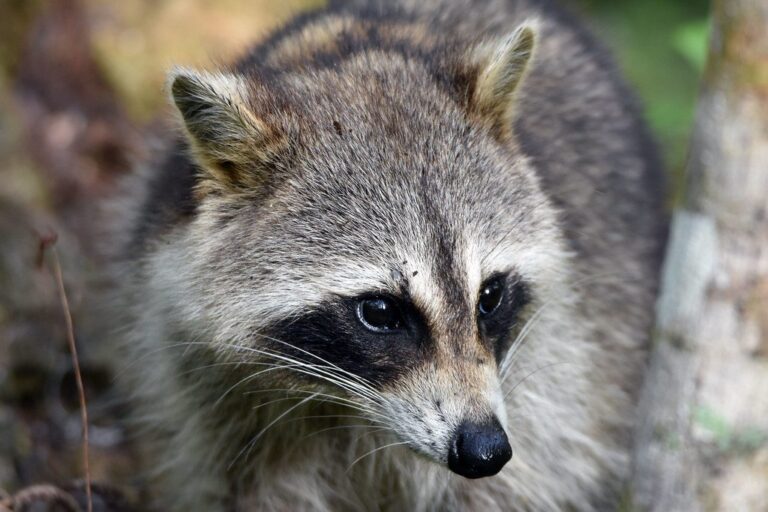
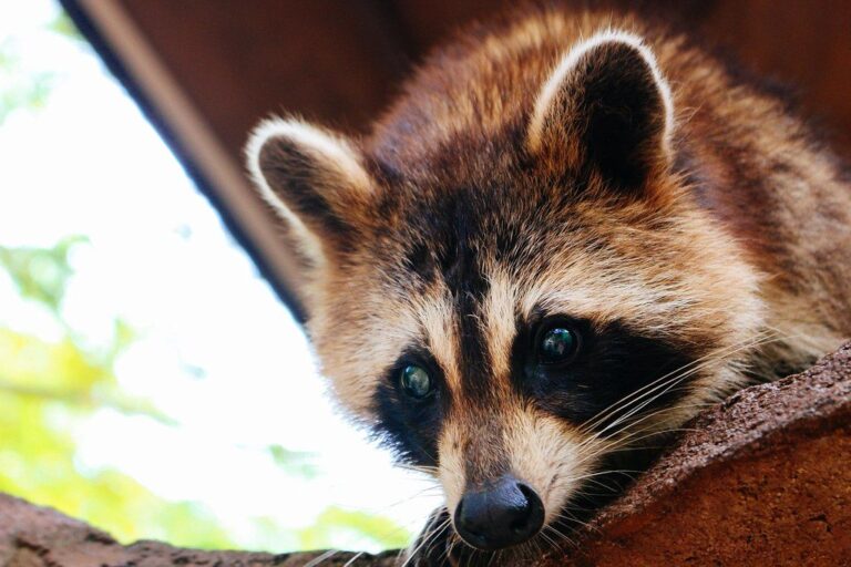
Other photos on this page: Charles Patrick Ewing (CC BY 2.0); Juliana Chong (CC BY 2.0); OhioOakTree (CC BY-SA 4.0).