Home › Missouri › Public land › Lead Mine Conservation Area
Missouri conservation area
Lead Mine Conservation Area, a hunter guide
7,761 acres of conservation area in Dallas County: area rules, season dates and nearby land.
Photo: Chris M Morris (CC BY 2.0)
Getting to Lead Mine Conservation Area
Lead Mine Conservation Area basics
Lead Mine Conservation Area measures 7,761 acres on the map and sits in Dallas County. Dallas County has 4 conservation areas on our list; this one is the 1st largest. MDC lists Lead Mine Conservation Area in its North Slope district, Southwest Region.
Non-hunting activities on the area page: shooting range (rifle or pistol), trails (biking, horseback, hiking), camping (designated camping sites, individual campsites), fishing (rock bass, sunfish, suckers, catfish) and trapping (special use permit).
The area page says: Lead Mine Conservation Area is located in northeastern Dallas County, 40 miles south of Lake of the Ozarks, 12 miles north of Bennett Springs, five miles east of Tunas, and 21 miles northeast of Buffalo. The area provides about two miles of Niangua River frontage and has a 3.5-mile stretch of Jakes Creek running through it. The Conservation Department purchased the original 600 acres for the Lead Mine Conservation Area in 1965 through a University of Missouri land grant. Additional land was acquired with Pittman-Robertson and Dingell-Johnson funding, and the state conservation sales tax, increasing the area to 7,761 acres. During early settlement in the late 1800s and early 1900s, some lead mining did take place near the area. However, evidence of this is hard to find. Many people made their living and raised their families on small farms that now make up Lead Mine Conservation Area. The town of Lead Mine, just one-quarter mile west, is a small community known for its country atmosphere, hand-made goods, and horse drawn buggies.
Species named: Deer, Black bear, Turkey, Rabbit, Squirrel, Quail.
- White-tailed Deer
- Black Bear
- Wild Turkey
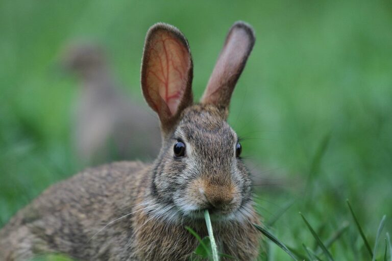
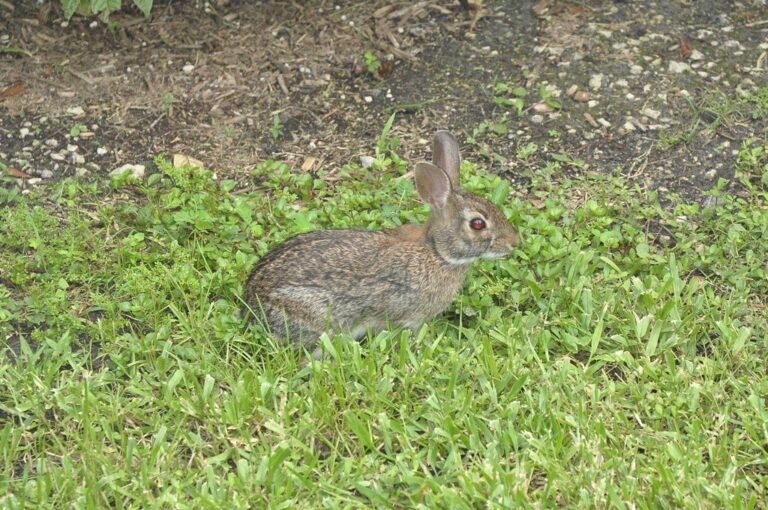
- Eastern Cottontail
- Gray Squirrel
- Fox Squirrel
- Northern Bobwhite Quail
From the agency record (Missouri Department of Conservation); checked October 29, 2026.
Nearby
Places to hunt and shoot around Lead Mine Conservation Area
How Lead Mine Conservation Area may be hunted
Area methods and permits for Lead Mine Conservation Area, condensed from MDC.
| Game | How | Extra rule |
|---|---|---|
| White-tailed Deer | Archery and firearms | Not allowed |
| Wild Turkey | Archery and firearms | – |
| Black Bear | Archery and firearms | Zone permit |
| Eastern Cottontail | Statewide methods | – |
| Gray Squirrel | Statewide methods | – |
| Northern Bobwhite Quail | Statewide methods | – |
Lead Mine Conservation Area area regulations
- Unless otherwise posted, bicycles, including electric bicycles as defined in the Missouri Wildlife Code ( Chapter 20- Definitions) , are allowed on roads open to vehicular traffic and service roads (designated in the online conservation atlas). Bicycles must stay on roads open to vehicular traffic or service roads, or on multi-use trails posted as open to bicycles. Bicycle use is not allowed on service roads passing through designated natural areas (designated in the online conservation atlas). Groups of 10 or more people using bicycles on a department area must obtain a special use permit.
- This department area also has multi-use trails open to equestrian use. On multi-use trails designated as open to equestrian use, horses and horseback riding is prohibited during all portions of the firearms deer hunting season and during shooting hours of spring turkey hunting seasons.
- An unstaffed range is located on this department area. Target shooting is not allowed anywhere on this area except for designated shooting range(s).
- Shooting hours are one-half hour before sunrise to one-half hour after sunset. Ranges may be closed to public use at any time for maintenance or department sponsored events or programs.
Deer hunters on Lead Mine Conservation Area are limited to archery and firearms; antlerless permits may not be used. Turkey on Lead Mine Conservation Area: archery and firearms under the area listing. Black bear methods here: archery and firearms, with a zone permit from the drawing. Booklet code C for Lead Mine Conservation Area means antlerless permits not allowed. Only areas on the MDC deer list allow deer hunting; Lead Mine Conservation Area made the list.
Sources: area page, area regulations, deer quick view; booklet table: 2026 Fall Deer and Turkey booklet, pp. 42-55. Checked October 29, 2026.
Lead Mine Conservation Area: the Dallas County rules
| Rule | Dallas County |
|---|---|
| Firearms antlerless limit | 4 deer |
| Antlerless portions | Open |
| CWD sampling Nov. 14-15 | No |
| Feed and mineral ban | Yes |
| Share the Harvest CWD test | Required |
| Fall firearms turkey | Open |
| Dogs, November portion | No rule |
| Elk county | No |
| Bear zone | Zone 3 |
| Duck zone | Middle / South |
The county is the deer unit here. Dallas County allows 4 firearms antlerless deer this year. Dallas County is one of the 100 counties open during the antlerless portions. The year-round feed and mineral ban covers Dallas County. Dallas County lies in Black Bear Management Zone 3, where 250 permits were issued against a quota of 8. Three older rules are gone for 2026: the CWD portion, the CWD Management Zone and the antler-point rule.
2026 Fall Deer and Turkey booklet county rules, MDC CWD rules and 2026 bear digest; checked October 29, 2026.
Dates that apply at Lead Mine Conservation Area
16 rows for Lead Mine Conservation Area (6 species), cut down to its game list.
| Game | Season | Area | From | To | Open now? |
|---|---|---|---|---|---|
| White-tailed deer | Archery, first part | Statewide | Sep 15, 2026 | Nov 13, 2026 | |
| White-tailed deer | Firearms, early antlerless | Antlerless county | Oct 9, 2026 | Oct 11, 2026 | |
| White-tailed deer | Firearms, early youth | Statewide | Oct 24, 2026 | Oct 25, 2026 | |
| White-tailed deer | Firearms, November | Statewide | Nov 14, 2026 | Nov 24, 2026 | |
| White-tailed deer | Archery, second part | Statewide | Nov 25, 2026 | Jan 15, 2027 | |
| White-tailed deer | Firearms, late youth | Statewide | Nov 27, 2026 | Nov 29, 2026 | |
| White-tailed deer | Firearms, late antlerless | Antlerless county | Dec 5, 2026 | Dec 13, 2026 | |
| White-tailed deer | Firearms, alternative methods | Statewide | Dec 26, 2026 | Jan 5, 2027 | |
| Black bear | Bear, zone 3 | Bear zone 3 | Oct 17, 2026 | Oct 30, 2026 | |
| Wild turkey | Fall archery | Statewide | Sep 15, 2026 | Nov 13, 2026 | |
| Wild turkey | Fall firearms | Open county | Oct 1, 2026 | Oct 31, 2026 | |
| Wild turkey | Fall archery, part 2 | Statewide | Nov 25, 2026 | Jan 15, 2027 | |
| Bobwhite quail | Youth quail | Statewide | Oct 24, 2026 | Oct 25, 2026 | |
| Bobwhite quail | Quail | Statewide | Nov 1, 2026 | Jan 15, 2027 | |
| Rabbits | Rabbit hunting | Statewide | Oct 1, 2026 | Feb 15, 2027 | |
| Squirrels | Squirrel season | Statewide | May 23, 2026 | Feb 15, 2027 |
Hunter orange (hat plus vest, coat or shirt) is required during the firearms deer portions.
From the 2026 Fall Deer and Turkey booklet, the 2026-2027 waterfowl digest and the 2026 hunting and trapping summary (Missouri Department of Conservation); checked October 29, 2026. All Missouri seasons.
Public places ringing Lead Mine Conservation Area
Head southeast about 4.5 mi and you reach Barclay Conservation Area, the nearest listed neighbor of Lead Mine Conservation Area.
| Name | Type | Size (ac) | County | Away | Bearing |
|---|---|---|---|---|---|
| Barclay CA | Conservation area | 426 | Dallas | 4.5 mi | southeast |
| Mary Lawson CA | Conservation area | 52 | Laclede | 5.1 mi | east |
| Coffin Cave CA | Conservation area | 68 | Laclede | 5.7 mi | southeast |
| Branch Towersite | Towersite | 40 | Camden | 6.1 mi | northwest |
| Bennett Spring Access | Public access area | 178 | Dallas | 7.8 mi | south |
| Williams Ford Access | Public access area | 40 | Dallas | 11 mi | south |
| Alfred Newton Gossett CA | Conservation area | 671 | Dallas | 11 mi | south |
| Larry R. Gale Access | Public access area | 193 | Camden | 13 mi | north |
Points: MDC Conservation Area Centroids layer (https://gisblue.mdc.mo.gov/arcgis/rest/services/Discover_Nature/MDC_Administrative_Areas/FeatureServer/4). Straight-line distances. Statewide public land map.
What hunters took around Lead Mine Conservation Area
MDC reports by county.
Deer checked in Dallas County: 2,951 in 2025 and 2,707 in 2024. Spring 2026 turkey harvest in Dallas County: 428, with 15 from public ground. Dallas County CWD testing: 1,659 samples in the years shown, 6 positives; first positive year 2022-2023.
| Year | Antlered | Buttons | Does | All deer |
|---|---|---|---|---|
| 2025 | 1,475 | 280 | 1,196 | 2,951 |
| 2024 | 1,294 | 233 | 1,180 | 2,707 |
| 2023 | 1,555 | 363 | 1,524 | 3,442 |
| 2022 | 1,437 | 275 | 1,428 | 3,140 |
| 2021 | 1,809 | 342 | 1,481 | 3,632 |
| 2020 | 1,780 | 360 | 1,836 | 3,976 |
| Year | Spring | Spring, public land | Spring youth | Fall firearms | Fall archery |
|---|---|---|---|---|---|
| 2026 | 428 | 15 | 41 | – | – |
| 2025 | 470 | 33 | 51 | 21 | 17 |
| 2024 | 459 | 47 | 35 | 34 | 13 |
| 2023 | 492 | 45 | 14 | 26 | 25 |
| 2022 | 322 | – | 32 | 20 | 23 |
| 2021 | 346 | – | 23 | 18 | 11 |
| Sample year | Tested | Detections |
|---|---|---|
| 2026 | 12 | 0 |
| 2025 | 76 | 0 |
| 2024 | 554 | 1 |
| 2023 | 786 | 4 |
| 2022 | 99 | 1 |
| 2021 | 132 | 0 |
MDC 2025 deer harvest summary, MDC turkey harvest summaries and MDC CWD dashboard; earlier years from the yearly reports. Checked October 29, 2026.
Nearest help for Lead Mine Conservation Area hunters
8.6 mi separates Lead Mine Conservation Area from Bennett Springs. Lebanon tops the population column at 15,538. MDC directions: Southwest entrance: From Plad, take Highway 64 west, then Route T north, then Route YY east 0.50 mile. Northeast entrance: From Lebanon, take Highway 5 north to Route E, which will become Bluff Trail at the end of pavement. Follow Bluff Trail 0.25 mile to area. There is no vehicle access to the west side of area from the east side. Camdenton hosts the MDC office nearest Lead Mine Conservation Area (Camdenton Office, 14 mi).
| Community | County | Residents | Straight line | Direction |
|---|---|---|---|---|
| Bennett Springs | Laclede | – | 8.6 mi | south |
| Urbana | Dallas | 408 | 14 mi | west |
| Camdenton | Camden | 4,035 | 14 mi | northeast |
| Buffalo | Dallas | 3,512 | 17 mi | southwest |
| Lebanon | Laclede | 15,538 | 18 mi | southeast |
Towns from places.json (Census 2024); offices and businesses from services.json (MDC offices and business listings, chain stores and permit vendors left out); straight-line miles. Checked October 29, 2026.
Sight in at Lead Mine Conservation Area
Lead Mine Conservation Area has its own MDC shooting range (MDC unstaffed range); target shooting on the area is allowed only there.
From MDC area pages and the MDC Shooting Ranges layer, the operators’ pages and directory listings, checked October 29, 2026; target shooting rule from MDC area rule 3 CSR 10-11.150 on the area page.
Lead Mine Conservation Area legal shooting light
Legal light for deer at Lead Mine Conservation Area runs 30 minutes either side of sunrise and sunset; for ducks it starts 30 minutes before sunrise and ends at sunset.
| Date | Why it matters | Sunrise | Sunset | Big game legal | Waterfowl legal |
|---|---|---|---|---|---|
| Sep 1, 2026 | Dove opener | 6:41 a.m. | 7:42 p.m. | 6:11 a.m. to 8:12 p.m. | 6:11 a.m. to 7:42 p.m. |
| Sep 15, 2026 | Archery opener | 6:53 a.m. | 7:20 p.m. | 6:23 a.m. to 7:50 p.m. | 6:23 a.m. to 7:20 p.m. |
| Oct 1, 2026 | Fall firearms turkey | 7:08 a.m. | 6:54 p.m. | 6:38 a.m. to 7:24 p.m. | 6:38 a.m. to 6:54 p.m. |
| Nov 7, 2026 | Middle Zone ducks | 6:45 a.m. | 5:05 p.m. | 6:15 a.m. to 5:35 p.m. | 6:15 a.m. to 5:05 p.m. |
| Nov 14, 2026 | November firearms opener | 6:53 a.m. | 4:59 p.m. | 6:23 a.m. to 5:29 p.m. | 6:23 a.m. to 4:59 p.m. |
| Dec 26, 2026 | Alternative methods | 7:28 a.m. | 4:57 p.m. | 6:58 a.m. to 5:27 p.m. | 6:58 a.m. to 4:57 p.m. |
| Jan 15, 2027 | Archery close | 7:28 a.m. | 5:15 p.m. | 6:58 a.m. to 5:45 p.m. | 6:58 a.m. to 5:15 p.m. |
Hours rule and the Jefferson City sunrise and sunset table from the MDC Migratory Bird and Waterfowl Digest (same table in the Fall Deer and Turkey booklet), adjusted 1 minute per 13.5 miles east or west as MDC directs; checked October 29, 2026. Legal hours for every county.
Images near and like Lead Mine Conservation Area
Lead Mine Conservation Area, quick questions
Closest community to Lead Mine Conservation Area?
The closest town page is Bennett Springs (8.6 mi).
How large an area is Lead Mine Conservation Area?
7,761 acres in all; the manager is Missouri Department of Conservation.
When may I be on Lead Mine Conservation Area?
4 a.m. to 10 p.m. daily. Camping is offered.
Which Missouri permits do I need at Lead Mine Conservation Area?
Statewide MDC permits apply; managed hunts need the drawn permit as well.
Does Lead Mine Conservation Area allow hunting?
Yes, for deer, black bear, turkey, rabbit, squirrel and quail; deer hunting is allowed because the area is on the MDC list.
How may deer be hunted on Lead Mine Conservation Area?
MDC lists archery and firearms for deer. Antlerless permits are not allowed.
What county deer limit applies at Lead Mine Conservation Area?
The county rule is 4 antlerless deer with firearms; the antlerless portions are open.
What CWD rules apply at Lead Mine Conservation Area?
Dallas County has no mandatory sampling this year and a year-round feed and mineral ban.
How may turkeys be hunted on Lead Mine Conservation Area?
Yes, by archery and firearms; fall firearms turkey runs Oct. 1-31 here.
Does a bear zone include Lead Mine Conservation Area?
BMZ 3, 250 permits drawn. Bear hunting is listed here.
When can I shoot at Lead Mine Conservation Area on opening day?
Opening day of the November portion runs 6:23 a.m. to 5:29 p.m. there.
What backup public land is near Lead Mine Conservation Area?
Within reach: Barclay Conservation Area (4.5 mi), Mary Lawson Conservation Area (5.1 mi) and Coffin Cave Conservation Area (5.7 mi).
Lead Mine Conservation Area: checks before you go
Use this page to plan, then reread the agency page for Lead Mine Conservation Area shortly before the trip.
Sources: source · source · source · source; regulations from the 2026 Fall Deer and Turkey booklet. Checked October 29, 2026.
Other photos on this page: Jim, the Photographer (CC BY 2.0); ilouque (CC BY 2.0); btrentler (CC BY 2.0).