Home › Missouri › Public land › Spring Creek Gap Conservation Area
Conservation area · Central Region
Spring Creek Gap Conservation Area, a hunter guide
Conservation area in Maries County, 1,819 acres, MDC Central Region.
Photo: Jena Fuller (CC BY-SA 2.0)
Getting to Spring Creek Gap Conservation Area
Spring Creek Gap Conservation Area basics
At 1,819 acres, Spring Creek Gap Conservation Area is part of the public ground of Maries County. Among the 3 conservation areas of Maries County, it sits 1st for acres. The Osage district (MDC Central Region) handles habitat work on Spring Creek Gap Conservation Area.
The atlas entry for Spring Creek Gap Conservation Area also shows camping (open camping – walk-in/float-in/backpack, designated camping sites) and trapping (special use permit).
MDC describes the area this way: Spring Creek Gap Conservation Area is in Maries County, approximately 10 miles southeast of Vienna and 14 miles north of Rolla on old Highway 63. This 1,816-acre area was acquired in three parts, starting with the 1948 purchase of a 280-acre parcel known as the Vichy Towersite. The Conservation Department purchased an additional 1,495 acres in 1978 from Dr. A.W. Strickle and added a 40-acre tract in 1980. Spring Creek Gap, with its combination of forests, woodlands, steep topography, dolomite glades and old fields, is an extremely scenic area, especially during the fall color change. The forest has a nice display of spring wildflowers in the ravines. Cedar Creek, an intermittent stream, bisects the area. In 1982, 40 acres on Spring Creek Gap Conservation Area was designated Natural Area and in 2007 the Natural Area was expanded to 692 acres and named Spring Creek Gap Glades Natural Area. Yellow coneflowers, silky asters and blazing stars are some of the colorful plants growing on the natural area. The majority of the forest is made up of oak and hickory in dry dolomite woodlands.
Hunted here: Deer, Black bear, Turkey, Squirrel.
From the agency record (Missouri Department of Conservation); checked October 29, 2026.
Nearby
Places to hunt and shoot around Spring Creek Gap Conservation Area
How Spring Creek Gap Conservation Area may be hunted
Read these before a first trip to Spring Creek Gap Conservation Area; posted signs still govern.
| Species | Allowed | Permit note |
|---|---|---|
| White-tailed Deer | Archery and firearms | Allowed |
| Wild Turkey | Archery and firearms | – |
| Black Bear | Archery and firearms | Zone permit |
| Gray Squirrel | Statewide methods | – |
The deer rule for Spring Creek Gap Conservation Area is archery and firearms, and antlerless permits may be used here. The turkey rule on Spring Creek Gap Conservation Area reads archery and firearms. MDC lists black bear on Spring Creek Gap Conservation Area, archery and firearms, for hunters drawn for that zone. In the booklet table Spring Creek Gap Conservation Area carries antlerless code A: antlerless permits allowed. Listed or not matters on MDC ground: Spring Creek Gap Conservation Area is on the deer list.
Sources: area page, area regulations, deer quick view; booklet table: 2026 Fall Deer and Turkey booklet, pp. 42-55. Checked October 29, 2026.
County deer rules for Spring Creek Gap Conservation Area
| Topic | Maries County |
|---|---|
| Firearms antlerless limit | 4 deer |
| Antlerless portions | Open |
| CWD sampling Nov. 14-15 | No |
| Feed and mineral ban | Yes |
| Share the Harvest CWD test | Required |
| Fall firearms turkey | Open |
| Dogs, November portion | No rule |
| Elk county | No |
| Bear zone | Zone 3 |
| Duck zone | Middle |
There are no deer units in Missouri; Maries County is the unit for Spring Creek Gap Conservation Area, with a firearms antlerless limit of 4. The early (Oct. 9-11) and late (Dec. 5-13) antlerless portions are open in Maries County. No grain, salt or mineral sites in Maries County: the ban runs all year. For bear, Maries County is in BMZ 3 (250 permits drawn, quota 8). The CWD portion, the CWD Management Zone and the antler-point restriction were removed for 2026.
2026 Fall Deer and Turkey booklet county rules, MDC CWD rules and 2026 bear digest; checked October 29, 2026.
Spring Creek Gap Conservation Area by season
These 13 rows are the 2026-27 seasons that fit Spring Creek Gap Conservation Area and its game list.
| Species | Hunt | Scope | First day | Last day | Now |
|---|---|---|---|---|---|
| White-tailed deer | Archery, first part | Statewide | Sep 15, 2026 | Nov 13, 2026 | |
| White-tailed deer | Firearms, early antlerless | Antlerless county | Oct 9, 2026 | Oct 11, 2026 | |
| White-tailed deer | Firearms, early youth | Statewide | Oct 24, 2026 | Oct 25, 2026 | |
| White-tailed deer | Firearms, November | Statewide | Nov 14, 2026 | Nov 24, 2026 | |
| White-tailed deer | Archery, second part | Statewide | Nov 25, 2026 | Jan 15, 2027 | |
| White-tailed deer | Firearms, late youth | Statewide | Nov 27, 2026 | Nov 29, 2026 | |
| White-tailed deer | Firearms, late antlerless | Antlerless county | Dec 5, 2026 | Dec 13, 2026 | |
| White-tailed deer | Firearms, alternative methods | Statewide | Dec 26, 2026 | Jan 5, 2027 | |
| Black bear | Bear, zone 3 | Bear zone 3 | Oct 17, 2026 | Oct 30, 2026 | |
| Wild turkey | Fall archery | Statewide | Sep 15, 2026 | Nov 13, 2026 | |
| Wild turkey | Fall firearms | Open county | Oct 1, 2026 | Oct 31, 2026 | |
| Wild turkey | Fall archery, part 2 | Statewide | Nov 25, 2026 | Jan 15, 2027 | |
| Squirrels | Squirrel season | Statewide | May 23, 2026 | Feb 15, 2027 |
Youth portions are for hunters 6 to 15 years old.
From the 2026 Fall Deer and Turkey booklet, the 2026-2027 waterfowl digest and the 2026 hunting and trapping summary (Missouri Department of Conservation); checked October 29, 2026. All Missouri seasons.
Harvest numbers near Spring Creek Gap Conservation Area
Totals are for the whole county.
Maries County gave up 2,204 deer in 2025; the table runs back to 2020. In spring 2026, 601 turkeys were checked in Maries County, 6 of them reported from public land. For CWD, Maries County shows 3 positives over the years listed (first year 2023-2024).
| Season | Bucks | Button bucks | Does | County total |
|---|---|---|---|---|
| 2025 | 1,118 | 206 | 880 | 2,204 |
| 2024 | 924 | 184 | 802 | 1,910 |
| 2023 | 1,066 | 246 | 1,079 | 2,391 |
| 2022 | 1,001 | 256 | 1,071 | 2,328 |
| 2021 | 1,124 | 306 | 1,079 | 2,509 |
| 2020 | 920 | 279 | 1,060 | 2,259 |
| Year | Spring | Public | Youth | Fall gun | Fall bow |
|---|---|---|---|---|---|
| 2026 | 601 | 6 | 92 | – | – |
| 2025 | 670 | 14 | 86 | 44 | 17 |
| 2024 | 647 | 20 | 69 | 34 | 16 |
| 2023 | 626 | 13 | 62 | 52 | 38 |
| 2022 | 506 | – | 51 | 35 | 28 |
| 2021 | 543 | – | 55 | 58 | 46 |
| Year | Samples | Positive |
|---|---|---|
| 2026 | 4 | 0 |
| 2025 | 317 | 2 |
| 2024 | 387 | 0 |
| 2023 | 179 | 1 |
| 2022 | 89 | 0 |
| 2021 | 95 | 0 |
MDC 2025 deer harvest summary, MDC turkey harvest summaries and MDC CWD dashboard; earlier years from the yearly reports. Checked October 29, 2026.
Spring Creek Gap Conservation Area: the surrounding public ground
The map pins Spring Creek Gap Conservation Area with the 8 closest public areas, led by Little Prairie Conservation Area at 12 mi.
| Nearby | Kind | Acres | County | Miles | Heading |
|---|---|---|---|---|---|
| Little Prairie CA | Conservation area | 342 | Phelps | 12 mi | southeast |
| Clifty Creek Natural Area | Natural area | 230 | Maries | 12 mi | southwest |
| Clifty Creek CA | Conservation area | 256 | Maries | 13 mi | southwest |
| Canaan CA | Conservation area | 1,425 | Gasconade | 17 mi | northeast |
| Beaver Creek CA | Conservation area | 157 | Phelps | 19 mi | south |
| Rinquelin Trail Lake CA | Conservation area | 286 | Maries | 20 mi | west |
| Woodson K. Woods Memorial CA | Conservation area | 5,738 | Crawford, Phelps | 20 mi | southeast |
| Cooper Hill CA | Conservation area | 204 | Osage | 21 mi | north |
Points: MDC Conservation Area Centroids layer (https://gisblue.mdc.mo.gov/arcgis/rest/services/Discover_Nature/MDC_Administrative_Areas/FeatureServer/4). Straight-line distances. Statewide public land map.
Who is nearby at Spring Creek Gap Conservation Area
The short run for gas and food is Vienna, 8.6 mi out. 20,660 people live in Rolla, the largest town within reach. Driving route: From Vienna, take Highway 63 south approximately 10 miles, or north of Rolla on Highway 63 approximately 14 miles, take Old 63 north about 0.25 mile to the area. MDC permits and advice: Rolla Office, Rolla, 13 mi away.
| Town | County | 2024 population | Away | Which way |
|---|---|---|---|---|
| Vienna | Maries | 579 | 8.6 mi | west |
| Bland | Gasconade | 500 | 14 mi | northeast |
| Rolla | Phelps | 20,660 | 14 mi | south |
| St. James | Phelps | 3,932 | 14 mi | southeast |
| Newburg | Phelps | 336 | 17 mi | south |
Towns from places.json (Census 2024); offices and businesses from services.json (MDC offices and business listings, chain stores and permit vendors left out); straight-line miles. Checked October 29, 2026.
Shooting hours in Spring Creek Gap Conservation Area
Sunrise in the Bootheel and in the Kansas City area can be 20 minutes apart, so use the adjusted times for Spring Creek Gap Conservation Area.
| Day | Hunt | Sun up | Sun down | Big game window | Migratory window |
|---|---|---|---|---|---|
| Sep 1, 2026 | Dove opener | 6:37 a.m. | 7:38 p.m. | 6:07 a.m. to 8:08 p.m. | 6:07 a.m. to 7:38 p.m. |
| Sep 15, 2026 | Archery opener | 6:49 a.m. | 7:16 p.m. | 6:19 a.m. to 7:46 p.m. | 6:19 a.m. to 7:16 p.m. |
| Oct 1, 2026 | Fall firearms turkey | 7:04 a.m. | 6:50 p.m. | 6:34 a.m. to 7:20 p.m. | 6:34 a.m. to 6:50 p.m. |
| Nov 7, 2026 | Middle Zone ducks | 6:41 a.m. | 5:01 p.m. | 6:11 a.m. to 5:31 p.m. | 6:11 a.m. to 5:01 p.m. |
| Nov 14, 2026 | November firearms opener | 6:49 a.m. | 4:55 p.m. | 6:19 a.m. to 5:25 p.m. | 6:19 a.m. to 4:55 p.m. |
| Dec 26, 2026 | Alternative methods | 7:24 a.m. | 4:53 p.m. | 6:54 a.m. to 5:23 p.m. | 6:54 a.m. to 4:53 p.m. |
| Jan 15, 2027 | Archery close | 7:24 a.m. | 5:11 p.m. | 6:54 a.m. to 5:41 p.m. | 6:54 a.m. to 5:11 p.m. |
Hours rule and the Jefferson City sunrise and sunset table from the MDC Migratory Bird and Waterfowl Digest (same table in the Fall Deer and Turkey booklet), adjusted 1 minute per 13.5 miles east or west as MDC directs; checked October 29, 2026. Legal hours for every county.
Spring Creek Gap Conservation Area hunters: public range and clubs
Beaver Creek Conservation Area Archery Range (public, free) is 19 miles from Spring Creek Gap Conservation Area. Beside it, two gun clubs within 30 miles.
From MDC area pages and the MDC Shooting Ranges layer, the operators’ pages and directory listings, checked October 29, 2026.
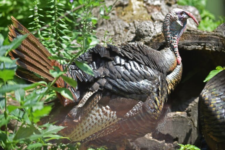
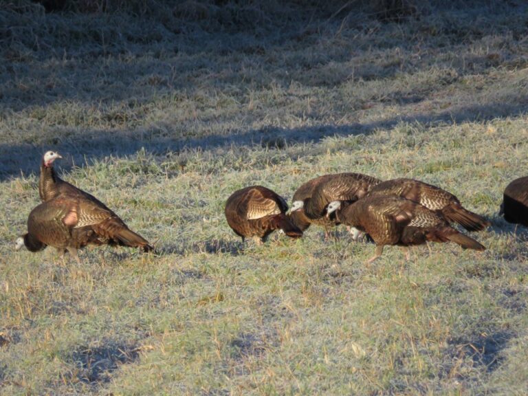
A visual feel for Spring Creek Gap Conservation Area

Spring Creek Gap Conservation Area, quick questions
Are antlerless portions open near Spring Creek Gap Conservation Area?
Up to 4 antlerless deer on firearms permits in Maries County; antlerless portions run in October and December.
Which weapons are legal for deer at Spring Creek Gap Conservation Area?
Archery and firearms. Antlerless permits are allowed.
Is fall turkey open at Spring Creek Gap Conservation Area?
Archery and firearms for turkey; the October firearms season is open in the county.
Is there mandatory CWD testing near Spring Creek Gap Conservation Area?
No mandatory sampling, plus the feed and mineral ban.
First and last shooting light at Spring Creek Gap Conservation Area?
6:19 a.m. to 5:25 p.m. for deer on opening day; ducks end at 4:55 p.m..
Can I hunt bear on Spring Creek Gap Conservation Area?
Maries County is in Bear Management Zone 3 (250 permits, quota 8); the area lists bear.
Town nearest Spring Creek Gap Conservation Area?
Vienna, 8.6 mi by straight line.
Where is the next public ground after Spring Creek Gap Conservation Area?
Closest public options are Little Prairie Conservation Area (12 mi), Clifty Creek Natural Area (12 mi) and Clifty Creek Conservation Area (13 mi).
Open hours at Spring Creek Gap Conservation Area?
Camping is listed on the area page.
How large an area is Spring Creek Gap Conservation Area?
In charge: Missouri Department of Conservation. Acres: 1,819.
Spring Creek Gap Conservation Area: open to hunters?
It is open to hunting: deer, black bear, turkey and squirrel, under statewide seasons and the area rules.
Permits needed for Spring Creek Gap Conservation Area?
MDC permits by game: Small Game, Archer's, Firearms Any-Deer or Antlerless, Migratory Bird.
Spring Creek Gap Conservation Area: confirm these first
Area rules, closures and managed hunt notices on Spring Creek Gap Conservation Area can change; posted signs and the agency page have the final word.
Sources: source · source · source · source; regulations from the 2026 Fall Deer and Turkey booklet. Checked October 29, 2026.
Other photos on this page: U.S. Fish and Wildlife Service – Midwest Region (Public domain); PierreSelim (CC BY 3.0); U.S. Fish and Wildlife Service – Midwest Region (Public domain).