Home › Alabama › Public land › Upper State PDHA
Alabama physically disabled hunting area
Upper State Physically Disabled Hunting Area for hunters
Where, when and how to hunt the physically disabled hunting area in Clarke County.
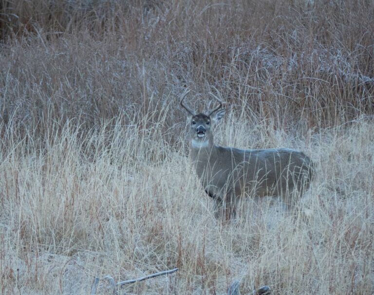
Photo: formulanone (CC BY-SA 2.0)
Getting to Upper State Physically Disabled Hunting Area
Parking, trailheads and gates near Upper State Physically Disabled Hunting Area
- Saint Stephens Park Tombigbee Boat LaunchBoat ramp · 3.7 mi from the centreDirections
Parking, trailhead and gate locations come from OpenStreetMap contributors. Roads into public land can be gated or seasonal; check with the managing agency before you go.
Upper State PDHA eligibility and rules
Only certified physically disabled hunters may hunt Upper State PDHA, by application and reservation. A hunter can book an area once in any two-week span, on the 2 or 3 days it is open each week. Hunters sit in shooting houses over wildlife openings; an assistant who does not hunt may come along. The resident Physically Disabled Hunting License costs $7.65; the new lifetime license is $50.00 / $30.00 by age band. It sits within or beside Upper State SOA.
Nearby
Places to hunt and shoot around Upper State Physically Disabled Hunting Area
County rule table for Upper State PDHA
| Rule | Clarke County |
|---|---|
| Deer zone | B (map) |
| CWD zone | Outside |
| Turkey zone | 3 |
| Fall turkey | Open |
| Dove zone | North |
| Dog deer | Allowed |
| Waterfowl zone | Statewide |
| Alligator area | Southwest |
| Turkeys, 2025 | 297-444 |
| WFF district | V |
Whether ground in Clarke County is Zone A or B depends on a road-defined line: read the ADCNR deer zone map. Managed-area dates on Upper State PDHA come from its permit, not from the zone table. Game Check put Clarke County at 297-444 turkeys in 2025, a binned range. ADCNR gives deer harvest only statewide.
ADCNR deer zones, turkey zones, dove zones, dog deer rules, CWD rules and the 2025 Alabama Wild Turkey Report; checked November 1, 2026.
Who runs Upper State PDHA and how big it is
Expect about 1,915 acres of hunting ground at Upper State PDHA, Clarke County. Clarke County has 3 records with acreage here; Upper State PDHA is number 3. Wildlife and Freshwater Fisheries Division staff of ADCNR run it as part of WFF District V. ADCNR and its partners list it under the ADCNR Physically Disabled Hunting Trail.
All mapped public land in Clarke County adds up to 7,308 acres in GIS.
Species the source gives for Upper State PDHA: Deer.
From the agency record (Alabama Department of Conservation and Natural Resources, Wildlife and Freshwater Fisheries Division); checked November 1, 2026.
Distances from Upper State PDHA to other public land
Should Upper State PDHA be crowded, Upper State SOA lies 0.0 mi east.
| Public land | Type | Acres | County | Distance | Direction |
|---|---|---|---|---|---|
| Upper State SOA | SOA | 1,918 | Clarke | 0.0 mi | east |
| Fred T. Stimpson SOA | SOA | 5,280 | Clarke | 13 mi | southeast |
| Choctaw Refuge SOA | SOA | 3,969 | Choctaw | 22 mi | northwest |
| Choctaw NWR | Wildlife refuge | 3,917 | Choctaw | 22 mi | northwest |
| Little River State Forest PDHA in Monroe County | PDHA | 1,137 | Monroe, Escambia | 35 mi | southeast |
| Little River State Forest SOA in Escambia County | SOA | 2,929 | Escambia | 35 mi | southeast |
| Red Hills WMA | WMA | 13,930 | Monroe | 38 mi | east |
| South Alabama Foundation PDHA | PDHA | 4,462 | Mobile | 40 mi | south |
Points: ADCNR Physically Disabled Hunting Areas layer (polygon centroid). Straight-line distances. Statewide public land map.
Where Upper State PDHA hunters resupply
Closest town: Leroy, roughly 4.2 mi away. With 1,723 people, Grove Hill is the biggest nearby town. Spanish Fort houses the WFF office that serves Clarke County ((251) 626-5153).
| Nearest towns | County | Population | Miles | Heading |
|---|---|---|---|---|
| Leroy | Washington | – | 4.2 mi | south |
| Rockville | Clarke | – | 13 mi | southeast |
| Grove Hill | Clarke | 1,723 | 15 mi | northeast |
| Carlton | Clarke | – | 16 mi | southeast |
| Chatom | Washington | 1,056 | 17 mi | west |
Towns from places.json (Census 2024); offices and businesses from services.json (ADCNR offices and business listings, chain stores left out); straight-line miles. Checked November 1, 2026.
Public and club ranges for Upper State Physically Disabled Hunting Area hunters
From Upper State Physically Disabled Hunting Area, Upper Delta WMA Shooting Range is the closest state-run range (30 miles).
From ADCNR’s range directory and range pages, operators’ pages and directory listings, checked November 1, 2026.
Dates tied to Upper State Physically Disabled Hunting Area and its surroundings
Near this ground on November 1, 2026: 3 upcoming dates. The 2 SOA hunts here are for drawn hunters only.
Next up
| Held | Event | Away | Where held | Action | Checked at |
|---|---|---|---|---|---|
| Nov 7, 2026 | 12th Annual Pine City Classic NWTF Turkey Calling Contest · turkey calling contest | 5 | Jackson | Event details | Source |
| Oct 22–Feb 7 (2026-27) | Upper State SOA deer hunt: Archery – Stalk Hunting Hunter's Choice · SOA deer (archery) draw | 0 | Event details | Source | |
| Apr 2–18, 2027 | Upper State SOA turkey hunt · SOA turkey draw | 0 | Register | Source |
Photos near and like Upper State PDHA


First and last legal light in Upper State PDHA
The times below use the solar formula for Upper State PDHA rather than the Birmingham table in the Digest, which can be off by several minutes this far from Birmingham.
| Date | Season point | Sunrise | Sunset | Deer and game | Ducks, geese, doves |
|---|---|---|---|---|---|
| Oct 15, 2026 | Archery opens, A and C | 6:53 a.m. | 6:20 p.m. | 6:23 a.m. to 6:50 p.m. | 6:23 a.m. to 6:20 p.m. |
| Nov 21, 2026 | Gun deer, A-C | 6:24 a.m. | 4:50 p.m. | 5:54 a.m. to 5:20 p.m. | 5:54 a.m. to 4:50 p.m. |
| Nov 27, 2026 | Ducks open | 6:30 a.m. | 4:49 p.m. | 6:00 a.m. to 5:19 p.m. | 6:00 a.m. to 4:49 p.m. |
| Dec 21, 2026 | Shortest day | 6:47 a.m. | 4:51 p.m. | 6:17 a.m. to 5:21 p.m. | 6:17 a.m. to 4:51 p.m. |
| Jan 15, 2027 | Mid-January | 6:51 a.m. | 5:09 p.m. | 6:21 a.m. to 5:39 p.m. | 6:21 a.m. to 5:09 p.m. |
| Feb 10, 2027 | Deer close, A-C | 6:38 a.m. | 5:32 p.m. | 6:08 a.m. to 6:02 p.m. | 6:08 a.m. to 5:32 p.m. |
| Mar 20, 2027 | Turkey opener | 6:57 a.m. | 7:02 p.m. | 6:27 a.m. to 7:32 p.m. | 6:27 a.m. to 7:02 p.m. |
Hours rules from the 2026-2027 Alabama Hunting and Fishing Digest; sunrise and sunset worked out for this location (NOAA solar formula, Central Time), checked against the Digest’s Birmingham table; checked November 1, 2026. Legal hours for every county.
Upper State PDHA: short answers
Is hunting near bait allowed at Upper State PDHA?
No, the privilege is for private land.
What species does Upper State PDHA offer?
Listed game: deer.
Which office handles Upper State PDHA?
Alabama Department of Conservation and Natural Resources, Wildlife and Freshwater Fisheries Division manages it.
Which tract is closest to Upper State PDHA?
The closest is Upper State SOA at 0.0 mi. 9 more lie within 50 miles.
Is fluorescent pink legal on Upper State PDHA?
Yes, orange or fluorescent pink (144 square inches or a cap) on gun deer dates.
How early can I shoot on Upper State PDHA?
Game animals: 30 minutes before sunrise to 30 minutes after sunset; on November 21, 2026 that is 5:54 a.m. to 5:20 p.m. at the Clarke County centre.
What part of Alabama is Upper State PDHA in?
Clarke County, inside WFF District V. Leroy is the closest town with a page here, about 4.2 mi away.
Is Upper State PDHA a big tract?
Roughly 1,915 acres, per the ADCNR PDHA map layer.
Which licenses or permits does Upper State PDHA require?
You need ADCNR certification as a disabled hunter, a reservation and a license.
What zone is Upper State PDHA for deer?
Clarke County is shaded A or B on the ADCNR map, a road-defined line. Draw and WMA permits carry their own dates.
Is dog deer hunting allowed at Upper State PDHA?
No, the program uses shooting houses.
Upper State PDHA trip checklist
Report violations on Upper State PDHA to Operation Game Watch at 1-800-272-4263.
Sources: source · source · source; regulations from the 2026-2027 Alabama Hunting and Fishing Digest. Checked November 1, 2026.
Other photos on this page: Bec1971 (CC BY-SA 4.0); Emmett Tullos (CC BY 2.0); Yellowstone National Park (Public Domain Mark 1.0).