Home › Minnesota › Public land › Crow Wing State Park
State park · MN
Crow Wing State Park hunting, season by season
2,648 acres of public land open to hunters in Crow Wing County and 2 neighbors, with DPA 248 deer dates.
Photo: Tony Webster (CC BY-SA 2.0)
Getting to Crow Wing State Park
Parking, trailheads and gates near Crow Wing State Park
- Boat rampBoat ramp · 0.3 mi from the centreDirections
- Parking areaParking · 1.1 mi from the centreDirections
- Parking areaParking · 1.2 mi from the centreDirections
- Parking areaParking · 1.2 mi from the centreDirections
- Parking areaParking · 1.2 mi from the centreDirections
- Parking areaParking · 1.2 mi from the centreDirections
Parking, trailhead and gate locations come from OpenStreetMap contributors. Roads into public land can be gated or seasonal; check with the managing agency before you go.
Crow Wing State Park in brief, from the agency file
2,648 acres of Crow Wing, Morrison and Cass counties belong to Crow Wing State Park. Crow Wing State Park is Crow Wing County’s only listed state park. For deer it falls in DPA 248 (it also reaches DPA 249 and DPA 604), set at 2-deer limit for 2026.
Management: Minnesota Department of Natural Resources. Hunting is limited to the DNR special hunt dates and hunt-map areas; the rest of the year the park is closed to hunting.
Game listed: deer.
From the agency record (Minnesota Department of Natural Resources); checked October 28, 2026.
Nearby
Places to hunt and shoot around Crow Wing State Park
Crow Wing State Park pinned among nearby tracts
Ray Cook WMA lies 6.1 mi east of Crow Wing State Park, the nearest of 8 public areas within 45 miles.
| Area | Type | Acres | DPA | Straight line | Which way |
|---|---|---|---|---|---|
| Ray Cook WMA | WMA | 252 | 249 | 6.1 mi | east |
| White Sand Lake AMA | AMA | 19 | 604 | 6.2 mi | north |
| Little Nokasippi River WMA | WMA | 481 | 249 | 6.5 mi | south |
| Camp Ripley | Military land | 52,340 | 248 | 6.6 mi | southwest |
| Camp Ripley RGMA | RGMA | 400 | 248 | 7.6 mi | west |
| Whiskey Creek AMA | AMA | 106 | 604 | 7.9 mi | northeast |
| Gilbert Lake AMA | AMA | 169 | 604 | 9.9 mi | northeast |
| Poor Farm WMA | WMA | 312 | 249 | 9.9 mi | northeast |
Points: DNR state parks management units layer (polygon centroid of the largest part). Straight-line distances. Statewide public land map.
Rules for hunting Crow Wing State Park
Site rules for Crow Wing State Park, condensed from the record.
| Rule | Detail |
|---|---|
| Hunting | Hunt dates only |
| Hunt areas | Hunt map only |
| Ammunition | Lead-free required |
| LIMITED hunts | Visitors share the park |
Sources: record; booklet: 2026-2027 Minnesota Hunting and Trapping Regulations. Checked October 28, 2026.
Managed hunts at Crow Wing State Park
Special hunts on Crow Wing State Park this season, from the DNR special deer hunt tables.
| Hunt | Category | Permits | Dates | Bag | Deer allowed |
|---|---|---|---|---|---|
| 936 | Adult muzzleloader, permit required | 15 | Dec 5-9, 2026 | 2 | Either-Sex |
| Hunt | Begins | Ends | Park open? | Map |
|---|---|---|---|---|
| Muzzleloader | Dec 5, 2026 | Dec 9, 2026 | LIMITED | Map |
DNR special deer hunts and DNR state park hunts; checked October 28, 2026. Special hunts and lotteries.
Deer seasons on Crow Wing State Park
200-series DPA 248 carries the 2-deer limit designation this year. With bonus permits, a hunter can fill the 2-deer limit in DPA 248.
| Season | Starts | Ends | Status |
|---|---|---|---|
| Archery | Sep 19, 2026 | Dec 31, 2026 | |
| Youth deer | Oct 15, 2026 | Oct 18, 2026 | |
| Firearms, 200 series | Nov 7, 2026 | Nov 15, 2026 | |
| Muzzleloader | Nov 28, 2026 | Dec 13, 2026 |
Optional CWD testing only in DPA 248. Size of DPA 248: 232 square miles. Morrison and Cass share DPA 248.
Other deer permit areas on this land: DPA 249 (2-deer limit), DPA 604 (3-deer limit)
From the DNR 2026 deer season map and the 2026-2027 regulations booklet; checked October 28, 2026.
Deer harvest around Crow Wing State Park (DPA 248)
The whole of DPA 248 gave up 1,109 deer in 2025; the DNR publishes no figure for Crow Wing State Park itself.
| Year | Adult male | Rest | Harvest | Density |
|---|---|---|---|---|
| 2025 | 633 | 476 | 1,109 | 5.17 |
| 2024 | 559 | 431 | 990 | 4.62 |
| 2023 | 416 | 362 | 778 | 3.63 |
| 2022 | 410 | 410 | 820 | 3.83 |
| 2021 | 543 | 527 | 1,070 | 4.99 |
| 2020 | 547 | 335 | 882 | 4.12 |
| 2019 | 426 | 290 | 716 | 3.34 |
| 2018 | 580 | 704 | 1,284 | 5.99 |
| 2017 | 639 | 670 | 1,309 | 6.11 |
DNR 2025 deer harvest report; earlier years from the DNR yearly reports. Checked October 28, 2026.
Crow Wing State Park nearby towns
Baxter is the closest town to Crow Wing State Park, about 5.2 mi away. The largest nearby is Brainerd (14,400 people). For questions, the Brainerd DNR office is 6.7 mi from Crow Wing State Park.
| Town | County | Pop. 2024 | Miles off | Bearing |
|---|---|---|---|---|
| Baxter | Crow Wing | 9,186 | 5.2 mi | northeast |
| Fort Ripley | Crow Wing | 82 | 7.9 mi | south |
| Pillager | Cass | 531 | 8.1 mi | northwest |
| Brainerd | Crow Wing | 14,400 | 8.1 mi | northeast |
| East Gull Lake | Cass | 1,147 | 8.5 mi | north |
Towns from the 2024 Census gazetteer and population estimates; offices and businesses from services.json (DNR and business listings, chain stores and license agents left out); straight-line miles. Checked October 28, 2026.
Crow Wing State Park: Crow Wing County facts
Counting Crow Wing State Park, Crow Wing County has 49 listed public areas. Crow Wing County is one of the feeding ban counties. For bear, Crow Wing County lies partly in quota area 45, 51 and 46; 2026 permits: 45 (700 permits), 51 (1500 permits) and 46 (950 permits). Crow Wing County turkey hunters declare area 508 and 507. County questions go to Brainerd Area Wildlife Office, Brainerd. 6 places in Crow Wing County are closed to hunting, such as Borden Creek Aquatic Management Area.
County acres from DNR and federal GIS layers (counties.json); zones from the 2026-2027 booklet; checked October 28, 2026.
Range time on the drive to Crow Wing State Park
Three ranges near Crow Wing State Park follow, starting with Crow Wing County Range at 8 miles.
From the operators’ pages and directory listings, checked October 28, 2026.
Crow Wing State Park and nearby events
On the ground itself or close by: 1 upcoming event, covering DU gun or purse bingo.
Next on the calendar
| When | Listing | Distance | Venue | Tickets or seats | Read at |
|---|---|---|---|---|---|
| Nov 28, 2026 | Bingo with Vacationland Skating Club, a DU gun or purse bingo | 8 | Green Lantern Bar and Grill (Brainerd) | Buy tickets | Source |
A look at the landscape around Crow Wing State Park
Crow Wing State Park shooting hours on key dates
Times are worked out for the Crow Wing State Park map point on Central Time; big game ends half an hour after sunset, birds at sunset.
| Date | Moment | Sunrise | Sunset | Open | Big game close | Birds close |
|---|---|---|---|---|---|---|
| Sep 19, 2026 | Archery and grouse opener | 6:59 a.m. | 7:24 p.m. | 6:29 a.m. | 7:54 p.m. | 7:24 p.m. |
| Sep 26, 2026 | Duck opener | 7:08 a.m. | 7:10 p.m. | 6:38 a.m. | 7:40 p.m. | 7:10 p.m. |
| Oct 10, 2026 | Pheasant opener | 7:26 a.m. | 6:42 p.m. | 6:56 a.m. | 7:12 p.m. | 6:42 p.m. |
| Nov 7, 2026 | Firearms deer opener | 7:06 a.m. | 4:56 p.m. | 6:36 a.m. | 5:26 p.m. | 4:56 p.m. |
| Nov 28, 2026 | Muzzleloader opener | 7:36 a.m. | 4:36 p.m. | 7:06 a.m. | 5:06 p.m. | 4:36 p.m. |
| Dec 31, 2026 | Archery close | 8:00 a.m. | 4:39 p.m. | 7:30 a.m. | 5:09 p.m. | 4:39 p.m. |
| Apr 14, 2027 | Spring turkey opener | 6:34 a.m. | 8:01 p.m. | 6:04 a.m. | 8:31 p.m. | 8:01 p.m. |
Times are rounded to the minute.
Hours rule from the DNR booklet shooting hours page; sun times calculated for the unit point (NOAA method, Central Time); checked October 28, 2026. Legal hours for every county.
Straight answers on hunting Crow Wing State Park
Roughly how large is the Crow Wing State Park unit?
The mapped size is 2,648 acres.
Can you hunt on Crow Wing State Park this season?
Partly. Hunting happens only through the listed hunts or open portion.
Which species does Crow Wing State Park hold?
Game on the agency list for Crow Wing State Park: deer.
Which deer permit area holds Crow Wing State Park?
Crow Wing State Park falls in DPA 248, 2-deer limit. Expect the firearms season from Nov 7 to Nov 15, 2026.
Who do I call about Crow Wing State Park?
Crow Wing State Park falls under Minnesota Department of Natural Resources.
Where is the access for Crow Wing State Park?
No directions are published; Baxter is the closest town at 5.2 mi.
How early does shooting start at Crow Wing State Park on the opener?
Opening day of the firearms season: shooting from 6:36 a.m., done by 5:26 p.m..
Is CWD sampling required at Crow Wing State Park?
DNR lists DPA 248 as outside the CWD zones, with optional testing.
Which public ground lies closest to Crow Wing State Park?
Next-closest public land: Ray Cook WMA (6.1 mi), White Sand Lake AMA (6.2 mi) and Little Nokasippi River WMA (6.5 mi).
Crow Wing State Park: three things to confirm first
Carry your license, validate a deer or turkey at the kill site and register it (48 hours for deer and bear, 24 for turkey).
Sources: source · source · source · source; regulations from the 2026-2027 Minnesota Hunting and Trapping Regulations. Checked October 28, 2026.
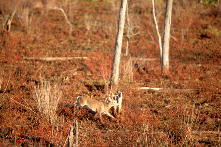
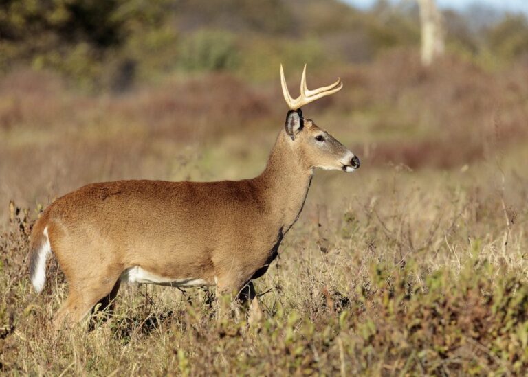
Other photos on this page: NPS Photo (Public domain); USFWS Mountain Prairie (Public domain); ShenandoahNPS (Public domain).