Home › Minnesota › Public land › Myre-Big Island State Park
State park in Freeborn County
Hunting on Myre-Big Island State Park in 2026-27
State park hunting in Freeborn County: rules, season dates, parking and nearby public land.
Photo: Tony Webster (CC BY-SA 2.0)
Getting to Myre-Big Island State Park
Parking, trailheads and gates near Myre-Big Island State Park
- Parking areaParking · 0.1 mi from the centreDirections
- Parking areaParking · 0.6 mi from the centreDirections
- Parking areaParking · 1.0 mi from the centreDirections
- Parking areaParking · 1.0 mi from the centreDirections
- Parking areaParking · 1.6 mi from the centreDirections
- Parking areaParking · 1.6 mi from the centreDirections
- Parking areaParking · 1.7 mi from the centreDirections
- Blazing Star State Trail ParkingParking · 1.9 mi from the centreDirections
- Parking areaParking · 2.1 mi from the centreDirections
- Parking areaParking · 2.4 mi from the centreDirections
- Parking areaParking · 2.5 mi from the centreDirections
- Parking areaParking · 2.6 mi from the centreDirections
Parking, trailhead and gate locations come from OpenStreetMap contributors. Roads into public land can be gated or seasonal; check with the managing agency before you go.
The record behind Myre-Big Island State Park, summed up
The mapped area of Myre-Big Island State Park is 1,821 acres, in Freeborn County. Our list holds just this one state park for Freeborn County. Deer rules come from DPA 254, a 3-deer limit area in 2026.
The land manager is Minnesota Department of Natural Resources. Hunting is limited to the DNR special hunt dates and hunt-map areas; the rest of the year the park is closed to hunting.
Species named: deer.
From the agency record (Minnesota Department of Natural Resources); checked October 28, 2026.
Nearby
Places to hunt and shoot around Myre-Big Island State Park
Myre-Big Island State Park regulations in short
Read these before a first trip to Myre-Big Island State Park; they come from the agency page.
| Item | Allowed? |
|---|---|
| Hunting | Hunt dates only |
| Hunt areas | Hunt map only |
| Ammunition | Lead-free required |
| LIMITED hunts | Visitors share the park |
Sources: record; booklet: 2026-2027 Minnesota Hunting and Trapping Regulations. Checked October 28, 2026.
Myre-Big Island State Park special hunts
Myre-Big Island State Park has 1 DNR special hunt for 2026-27; permit hunts are drawn through the DNR lottery.
| No. | Hunt type | Permits | Dates | Bag limit | Sex |
|---|---|---|---|---|---|
| 939 | Adult muzzleloader, permit required | 50 | Dec 5-6, 2026 | 5 | Antlerless only |
| Hunt | Begins | Ends | Park open? | Map |
|---|---|---|---|---|
| Muzzleloader | Dec 5, 2026 | Dec 6, 2026 | LIMITED | Map |
DNR special deer hunts and DNR state park hunts; checked October 28, 2026. Special hunts and lotteries.
DPA 254 dates for Myre-Big Island State Park
For 2026, DNR made DPA 254 3-deer limit; its firearms deer season is the 200-series window. Up to 3 deer can come out of DPA 254 this season, using bonus permits for the extra antlerless deer.
| Deer season | Opens | Closes | Today |
|---|---|---|---|
| Archery | Sep 19, 2026 | Dec 31, 2026 | |
| Youth deer | Oct 15, 2026 | Oct 18, 2026 | |
| Firearms, 200 series | Nov 7, 2026 | Nov 15, 2026 | |
| Muzzleloader | Nov 28, 2026 | Dec 13, 2026 |
No mandatory CWD sampling in DPA 254; testing is optional. DPA 254 takes in 947 square miles. Part of Freeborn, Faribault, Mower, Waseca and Steele falls in DPA 254.
From the DNR 2026 deer season map and the 2026-2027 regulations booklet; checked October 28, 2026.
Other places to hunt near Myre-Big Island State Park
The closest other public land to Myre-Big Island State Park is Goose Lake WPA (Freeborn County), 2.5 mi to the northwest; the table lists 8 neighbors with 1,410 acres between them.
| Name | Type | Size (ac) | Deer area | Away | Bearing |
|---|---|---|---|---|---|
| Goose Lake WPA | WPA | 167 | 254 | 2.5 mi | northwest |
| Pickerel Lake WPA | WPA | 244 | 254 | 5.7 mi | west |
| Magaksica WMA | WMA | 169 | 254 | 6.0 mi | west |
| Shell Rock WMA | WMA | 48 | 254 | 6.2 mi | south |
| Two Island WPA | WPA | 269 | 254 | 7.1 mi | northwest |
| Upper Twin Lake WMA | WMA | 99 | 254 | 7.2 mi | west |
| Twin Lake WPA | WPA | 300 | 254 | 8.0 mi | southwest |
| Ann & Leo Donahue WMA | WMA | 112 | 254 | 8.1 mi | southwest |
Points: DNR state parks management units layer (polygon centroid of the largest part). Straight-line distances. Statewide public land map.
Towns and offices around Myre-Big Island State Park
The town nearest Myre-Big Island State Park is Hayward at 3.0 mi. Albert Lea (18,159 in 2024) is the largest of these towns. Owatonna Area Wildlife Office (Owatonna) is the closest DNR office, 34 mi off.
| Community | County | Residents | Straight line | Direction |
|---|---|---|---|---|
| Hayward | Freeborn | 249 | 3.0 mi | east |
| Albert Lea | Freeborn | 18,159 | 3.2 mi | west |
| Glenville | Freeborn | 558 | 4.5 mi | south |
| Twin Lakes | Freeborn | 130 | 8.0 mi | southwest |
| Myrtle | Freeborn | 49 | 8.7 mi | southeast |
Towns from the 2024 Census gazetteer and population estimates; offices and businesses from services.json (DNR and business listings, chain stores and license agents left out); straight-line miles. Checked October 28, 2026.
Myre-Big Island State Park area deer harvest by year
DPA 254 totals, which include all the land around Myre-Big Island State Park: 1,373 deer in 2025 against 1,340 in 2024.
| Year | Bucks | Does, fawns | All deer | Per sq mi |
|---|---|---|---|---|
| 2025 | 753 | 620 | 1,373 | 1.49 |
| 2024 | 772 | 568 | 1,340 | 1.45 |
| 2023 | 745 | 601 | 1,346 | 1.46 |
| 2022 | 707 | 552 | 1,259 | 1.36 |
| 2021 | 713 | 551 | 1,264 | 1.37 |
| 2020 | 707 | 578 | 1,285 | 1.39 |
| 2019 | 691 | 567 | 1,258 | 1.36 |
| 2018 | 578 | 615 | 1,193 | 1.28 |
| 2017 | 584 | 411 | 995 | 1.07 |
DNR 2025 deer harvest report; earlier years from the DNR yearly reports. Checked October 28, 2026.
The county setting of Myre-Big Island State Park
Freeborn County holds 25 public hunting records on this site; Myre-Big Island State Park is one of them. Bear: Freeborn County is in the no-quota area, with licenses over the counter. For turkey the county is in permit area 503. Wildlife office for Freeborn County: Owatonna Area Wildlife Office.
County acres from DNR and federal GIS layers (counties.json); zones from the 2026-2027 booklet; checked October 28, 2026.
Myre-Big Island State Park: first legal light and last
Calculated for the exact spot of Myre-Big Island State Park, so the minutes differ a little from the county tables.
| Day | Hunt | First sun | Last sun | Start | Big game stop | Bird stop |
|---|---|---|---|---|---|---|
| Sep 19, 2026 | Archery and grouse opener | 6:56 a.m. | 7:19 p.m. | 6:26 a.m. | 7:49 p.m. | 7:19 p.m. |
| Sep 26, 2026 | Duck opener | 7:03 a.m. | 7:06 p.m. | 6:33 a.m. | 7:36 p.m. | 7:06 p.m. |
| Oct 10, 2026 | Pheasant opener | 7:20 a.m. | 6:40 p.m. | 6:50 a.m. | 7:10 p.m. | 6:40 p.m. |
| Nov 7, 2026 | Firearms deer opener | 6:56 a.m. | 4:58 p.m. | 6:26 a.m. | 5:28 p.m. | 4:58 p.m. |
| Nov 28, 2026 | Muzzleloader opener | 7:23 a.m. | 4:40 p.m. | 6:53 a.m. | 5:10 p.m. | 4:40 p.m. |
| Dec 31, 2026 | Archery close | 7:46 a.m. | 4:45 p.m. | 7:16 a.m. | 5:15 p.m. | 4:45 p.m. |
| Apr 14, 2027 | Spring turkey opener | 6:34 a.m. | 7:54 p.m. | 6:04 a.m. | 8:24 p.m. | 7:54 p.m. |
Spring turkey uses the bird column.
Hours rule from the DNR booklet shooting hours page; sun times calculated for the unit point (NOAA method, Central Time); checked October 28, 2026. Legal hours for every county.
Myre-Big Island State Park hunters: nearest gun clubs on file
Before a hunt on Myre-Big Island State Park, the closest range on file is Oak Grove Gun Club, 3 miles off.
From the operators’ pages and directory listings, checked October 28, 2026.
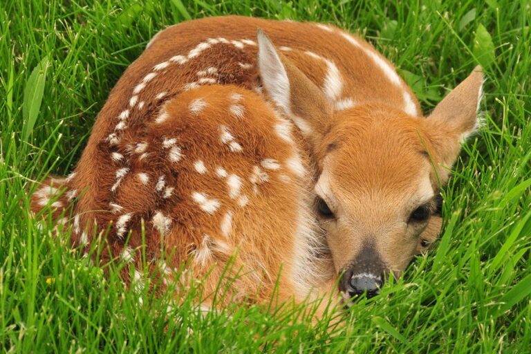
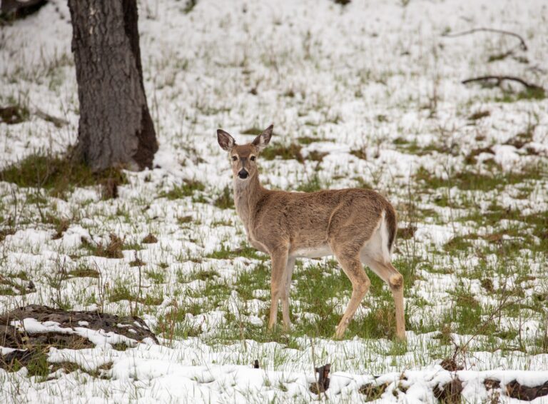
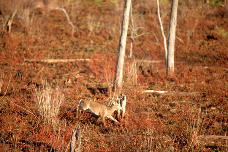
Myre-Big Island State Park and country like it, in photos
Myre-Big Island State Park FAQ for 2026-27
Which office should I call about Myre-Big Island State Park?
The Minnesota Department of Natural Resources runs Myre-Big Island State Park.
What are the CWD rules on Myre-Big Island State Park?
CWD status: DPA 254 is outside the CWD zones, with optional testing.
Myre-Big Island State Park: deer hours on opening day?
About 6:26 a.m. to 5:28 p.m. on opening day of firearms deer.
Any other public ground within a short drive of Myre-Big Island State Park?
Closest on the map: Goose Lake WPA (Freeborn County) (2.5 mi), Pickerel Lake WPA (5.7 mi) and Magaksica WMA (6.0 mi).
Myre-Big Island State Park: is hunting allowed there?
Hunting at Myre-Big Island State Park is limited to the managed hunts or the listed open area.
Is Myre-Big Island State Park a big piece of land?
About 1,821 acres, per the agency GIS.
When does firearms deer season open on Myre-Big Island State Park?
Deer permit area 254; the 2026 designation is 3-deer limit. Firearms dates in that DPA are Nov 7 to Nov 15, 2026.
What game is on Myre-Big Island State Park?
The record for Myre-Big Island State Park lists deer.
What are the directions to Myre-Big Island State Park?
Drive from Hayward (3.0 mi); the agency publishes no directions.
Before a trip to Myre-Big Island State Park
Plan with this page, then check the agency page for Myre-Big Island State Park the week you go.
Sources: source · source · source · source; regulations from the 2026-2027 Minnesota Hunting and Trapping Regulations. Checked October 28, 2026.
Other photos on this page: USFWS Mountain Prairie (Public domain); YellowstoneNPS (Public domain); NPS Photo (Public domain).