Home › Ohio › Public land › Wingfoot Lake Wildlife Area
Buckeye state wildlife area with open hunting
Wingfoot Lake Wildlife Area: seasons, rules and access
One state wildlife area of 614 acres in Portage County, open to licensed hunters.
Photo: Ken Lund (CC BY-SA 2.0)
Getting to Wingfoot Lake Wildlife Area
Parking, trailheads and gates near Wingfoot Lake Wildlife Area
- Parking areaParking · 0.3 mi from the centreDirections
- Parking areaParking · 0.3 mi from the centreDirections
- Parking areaParking · 0.4 mi from the centreDirections
- Parking areaParking · 0.5 mi from the centreDirections
- Parking areaParking · 0.5 mi from the centreDirections
- Parking areaParking · 0.5 mi from the centreDirections
- Parking areaParking · 0.5 mi from the centreDirections
- Parking areaParking · 0.5 mi from the centreDirections
- Parking areaParking · 0.6 mi from the centreDirections
- Parking areaParking · 0.6 mi from the centreDirections
- Parking areaParking · 0.6 mi from the centreDirections
- Parking areaParking · 1.0 mi from the centreDirections
Parking, trailhead and gate locations come from OpenStreetMap contributors. Roads into public land can be gated or seasonal; check with the managing agency before you go.
Wingfoot Lake Wildlife Area: size, setting and history
Wingfoot Lake Wildlife Area covers 614 acres in Portage County, a state wildlife area run by the ODNR Division of Wildlife. ODNR puts it around 1 miles to the west of Suffield. Questions go to District 3 in Akron, the district that covers it. Walk it and you will find lake, woods, grassland, wetlands, marsh and forest, according to the agency listing. Expect company: the page names kayaking, boating, hiking, birding, fishing and shooting range, plus Buckeye Trail and hunter access. Its story as public land begins in 2009 and runs to 2015, using several state funds. Parcels are owned outright by the state. You will find it as "Wingfoot" in OAC 1501:31-15-04(A)(1).
Sources disagree on size, from 216 to 617 acres; this page uses 614 (ODNR property page).
| Record | Acres |
|---|---|
| ODNR property page | 614 |
| Property Details layer | 216 |
| Water (Property Details) | 398 |
| Hunting-status layer | 614 |
| GIS parcel area | 617 |
From the ODNR property page, ODNR hunting-status layer, OAC; retrieved 2026-11-05, checked November 6, 2026.
Nearby
Places to hunt and shoot around Wingfoot Lake Wildlife Area
Wingfoot Lake Wildlife Area: rules that apply on the ground
Part of Wingfoot Lake Wildlife Area is off limits or carries special limits, according to the status layer.
- Drive and park only on designated roads and lots.
- No campsites on this property.
- From May 2 to August 31 the night closure runs 10 p.m. to 6 a.m.
- Target practice only at a designated Division of Wildlife range.
- No salt, grain or feed may be put out.
- Portable stands only; nothing inserted into a tree.
- Count your does: two antlerless deer from public areas per year.
- Lottery permits cover some hunts.
From the agency page, public hunting area rules; checked November 6, 2026.
Wingfoot Lake Wildlife Area lottery hunts for 2026
Wingfoot Lake Wildlife Area carries 1 lottery hunt in 2026, namely 1 trapping. A $3 fee buys one entry per hunt; results come by email. The trapping drawings happen face to face on October 3, 2026.
| Number | Name | Kind | When to apply | Rules |
|---|---|---|---|---|
| 2828 | Wingfoot Wildlife Area beaver/otter trapping | Trapping | In person, Oct. 3 | packet |
Hunts from the ODNR controlled hunting access lotteries page and the 2026-27 regulations, pp. 26-27; checked November 6, 2026.
When the Wingfoot Lake Wildlife Area game is in season
ODNR and the lottery list tie trapping to Wingfoot Lake Wildlife Area.
| Game | Season | Opens | Closes | Limit |
|---|---|---|---|---|
| Mink | Trapping | Nov 10, 2026 | Feb 28, 2027 | No limit |
| Muskrat | Trapping | Nov 10, 2026 | Feb 28, 2027 | No limit |
| Beaver | Trapping | Dec 26, 2026 | Feb 28, 2027 | No limit |
| River otter | Trapping | Dec 26, 2026 | Feb 28, 2027 | 3 per season |
Dates and limits from the 2026-27 hunting seasons list and the 2026-27 Ohio Hunting and Trapping Regulations; species from the record (controlled hunt lotteries); checked November 6, 2026.
Managed hunting features at Wingfoot Lake Wildlife Area
Wingfoot Lake Wildlife Area shooting range
The regulations list 1 public range here (class D). No range permit is needed at a class D range.
| Range | Class | Type or contact | Supervised trap/skeet |
|---|---|---|---|
| Wingfoot Lake | D | (330) 962-2048 | No |
From the range list; checked November 6, 2026.
County rules around Wingfoot Lake Wildlife Area
Portage County allows 3 deer per hunter in 2026-27. Portage County hunters checked 3,498 deer in 2025-26 (1,408 antlered). This season to November 3, 2026, 949 deer have been checked there.
| County | Deer limit | CWD | Zone | Spring | Fall | Harvest |
|---|---|---|---|---|---|---|
| Portage County | 3 deer | No | B | South | Open | 3,498 |
From the deer bag limit map, DSA, waterfowl zones, turkey zones, 2025-26 deer harvest report, harvest to date (ODNR Division of Wildlife); checked November 6, 2026.
Mapped hunting places beside Wingfoot Lake Wildlife Area
Quail Hollow State Park lies 4 miles southeast of the Wingfoot Lake Wildlife Area point, the nearest open land. Nearby public places: 2 state parks, 2 public access areas and 1 wildlife area. Neighbours closed to hunting: Wingfoot Lake State Park (park without hunting), Flatiron Bog State Nature Preserve (nature preserve) and Myersville Fen State Nature Preserve (nature preserve).
| Area | Kind | Acres | County | Miles off | Direction |
|---|---|---|---|---|---|
| Quail Hollow State Park | State park | 701 | Stark | 4 miles | southeast |
| Mogadore Reservoir | Access area | 1,380 | Portage | 4 miles | northeast |
| Portage Path Conservation Area | Wildlife area | 90 | Summit | 9 miles | west |
| Portage Lakes State Park | State park | 411 | Summit | 9 miles | west |
| Nimisila Reservoir | Controlled hunts | – | Summit | 10 miles | southwest |
| Walborn Reservoir Public Access | Access area | 1,848 | Stark | 10 miles | east |
Point: ODNR DNR_Lands_Hunting_Status layer, 2 parcels (polygon centroid of the largest part). Straight-line distances. Closed places from the lands.json closed list. Checked November 6, 2026. Statewide public land map.
Wingfoot Lake Wildlife Area: who to call and which map to carry
District help: Wildlife District Three, 912 Portage Lakes Dr, Akron, OH 44319, 330-644-2293. Portage County is patrolled by officer Marino Pellegrini ((330) 245-3040). Poaching tips go to 1-800-POACHER, any hour. A note on the map reads: end of the lake. Access to the area is off East Waterloo Road, west of State Route 43. A note on the map reads: for wetland and upland wildlife. Hunting, trapping, and wildlife viewing are the primary recreational uses.
- Area map PDF · legend: boat launch, boat ramp, parking, archery range, accessible, waterfowl hunting, wetland, grassland
- Wingfoot Lake Wildlife Area Map [pdf]
- Route to the point
Address and phone from the agency page and the ODNR Property Details layer; district offices from the ODNR Districts layer; officers from the officer list; point from ODNR DNR_Lands_Hunting_Status layer, 2 parcels (polygon centroid of the largest part); checked November 6, 2026.
Where to fuel up and grab ice near Wingfoot Lake Wildlife Area
Measured straight, Green is 7 miles from Wingfoot Lake Wildlife Area. Of the five, Akron is the biggest with 189,664 residents (2024 estimate). Allow for 10 miles of straight-line distance to the Akron ODNR office.
| Town | County | 2024 population | Away | Which way |
|---|---|---|---|---|
| Green | Summit | 27,476 | 7 miles | southwest |
| Kent | Portage | 27,720 | 9 miles | north |
| Akron | Summit | 189,664 | 9 miles | northwest |
| Limaville | Stark | – | 11 miles | east |
| Stow | Summit | 34,101 | 12 miles | north |
Towns from places.json (Census 2024 estimates); ODNR offices and businesses from services.json listings; straight-line miles. Checked November 6, 2026.
First and last legal minutes across Wingfoot Lake Wildlife Area seasons
Around Wingfoot Lake Wildlife Area, deer light opens 30 minutes before sunrise and ends 30 minutes after sunset; rabbit and pheasant hunters keep strict sunrise to sunset.
| Day | Marker | Sun up | Sun down | Deer hours | Duck hours | Upland hours |
|---|---|---|---|---|---|---|
| Sep 26, 2026 | Archery deer opens | 7:16 a.m. | 7:18 p.m. | 6:46 a.m. to 7:48 p.m. | 6:46 a.m. to 7:18 p.m. | 7:16 a.m. to 7:18 p.m. |
| Oct 1, 2026 | Fall turkey | 7:21 a.m. | 7:09 p.m. | 6:51 a.m. to 7:39 p.m. | 6:51 a.m. to 7:09 p.m. | 7:21 a.m. to 7:09 p.m. |
| Nov 6, 2026 | Rabbit and pheasant | 7:01 a.m. | 5:17 p.m. | 6:31 a.m. to 5:47 p.m. | 6:31 a.m. to 5:17 p.m. | 7:01 a.m. to 5:17 p.m. |
| Nov 21, 2026 | Second duck split | 7:20 a.m. | 5:04 p.m. | 6:50 a.m. to 5:34 p.m. | 6:50 a.m. to 5:04 p.m. | 7:20 a.m. to 5:04 p.m. |
| Nov 30, 2026 | Deer gun week | 7:30 a.m. | 4:59 p.m. | 7:00 a.m. to 5:29 p.m. | 7:00 a.m. to 4:59 p.m. | 7:30 a.m. to 4:59 p.m. |
| Dec 21, 2026 | Shortest day | 7:47 a.m. | 5:00 p.m. | 7:17 a.m. to 5:30 p.m. | 7:17 a.m. to 5:00 p.m. | 7:47 a.m. to 5:00 p.m. |
| Jan 2, 2027 | Muzzleloader | 7:50 a.m. | 5:07 p.m. | 7:20 a.m. to 5:37 p.m. | 7:20 a.m. to 5:07 p.m. | 7:50 a.m. to 5:07 p.m. |
Hours rules from the 2026-27 Ohio Hunting and Trapping Regulations; sunrise and sunset worked out for this location with the NOAA solar formula (Eastern Time); checked November 6, 2026. Legal hours for every county.
Wingfoot Lake Wildlife Area district scenes and wildlife photos
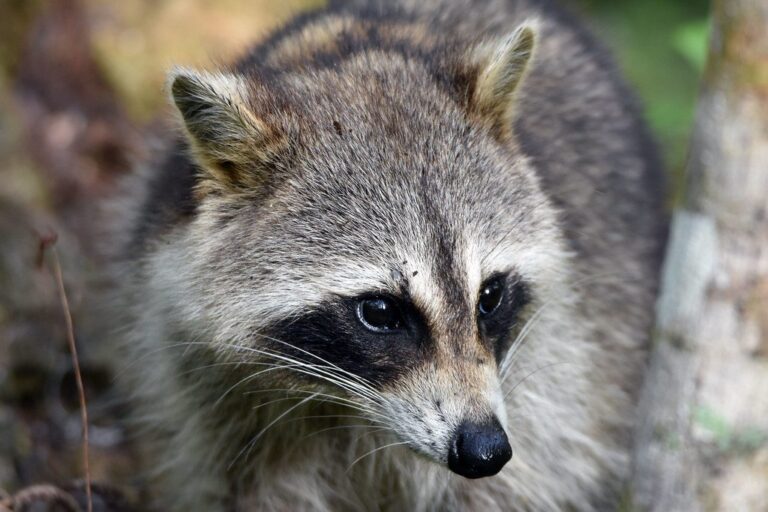
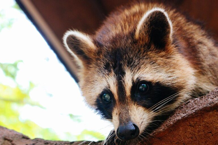

Public range and clubs on the road to Wingfoot Lake Wildlife Area
Wingfoot Wildlife Area Shooting Range (free (Class D)) is 1 mile from Wingfoot Lake Wildlife Area. After it come club ranges that sit inside 30 miles.
From ODNR’s public range list and range pages, ranges’ own pages and directory listings, checked November 6, 2026.
Things people ask before driving to Wingfoot Lake Wildlife Area
Are Sundays open for hunting on Wingfoot Lake Wildlife Area?
Ohio has no statewide Sunday restriction, so Sundays follow the regular seasons unless a lottery permit sets the day.
When must I check game taken on Wingfoot Lake Wildlife Area?
Check it in by noon the next day; no check station visit is needed.
Acreage check: how large is Wingfoot Lake Wildlife Area?
614 acres, according to the ODNR property page. The acreage table shows the spread.
What must I hold to hunt Wingfoot Lake Wildlife Area legally?
Ohio license first, then the game permit. Public hunting land in Ohio charges no access fee. Some hunts here are by lottery permit.
Are there controlled hunts on Wingfoot Lake Wildlife Area?
1 drawn hunt(s) for 2026 (trapping). Apply for $3 each.
Deer bag limit for Wingfoot Lake Wildlife Area?
Up to 3, by the county rule. Only one buck per season in Ohio, and two antlerless deer at most from public land.
Overnight stays at Wingfoot Lake Wildlife Area?
No; book a room in a nearby town.
What are this season's duck dates for Wingfoot Lake Wildlife Area?
It is in Zone B; duck splits run Oct 17 to Oct 25, 2026; Nov 21, 2026 to Jan 10, 2027.
Do I need hunter orange on Wingfoot Lake Wildlife Area during gun week?
Ohio requires a visible orange garment during deer gun seasons; camo orange counts.
May I bait deer on Wingfoot Lake Wildlife Area?
Portable stands yes, bait no.
What office handles Wingfoot Lake Wildlife Area for ODNR?
Try (330) 644-2293.
Deer hours at Wingfoot Lake Wildlife Area on the first gun day?
Thirty minutes before sunrise to thirty after sunset; on November 30, 2026 that is 7:00 a.m. to 5:29 p.m. here (NOAA solar formula).
Is Wingfoot Lake Wildlife Area fully open to hunters in the ODNR layer?
Only part of it is open.
Sign-off notes for Wingfoot Lake Wildlife Area hunters
Rules, closures and lottery details for Wingfoot Lake Wildlife Area can change mid-season; posted signs and the ODNR page have the last word.
Sources: source 1 · source 2 · source 3 · source 4 · source 5; seasons from the 2026-27 Ohio Hunting and Trapping Regulations. Checked November 6, 2026.
Other photos on this page: Charles Patrick Ewing (CC BY 2.0); Juliana Chong (CC BY 2.0); Scott Bauer, USDA NRCS (Public domain).