Oregon › Hunting seasons › Antlerless elk damage areas
Season tool
Oregon Antlerless Elk Damage Areas
The 14 mapped areas for the general season antlerless elk damage tag, with units, counties, dates and 2025 harvest.
Photo: Oregon Department of Fish and Wildlife (Public Domain Mark 1.0)
The 14 Oregon elk damage areas
General season antlerless elk damage tags are sold over the counter with no deadline and work in 14 mapped areas, most from August 1 to March 31, 2027. The tag counts as the hunter's one elk tag for the year. General season antlerless elk damage: Biggs Unit; Columbia Plateau; Maupin Unit; Melrose; Evans Creek; Willamette Valley; Chetco (August 1, 2026 to March 31, 2027). General season antlerless elk damage: Halfway Valley; Richland Valley; Ukiah and Heppner; Walla Walla; Wallowa Valley; John Day Valley ; Grande Ronde Baker Keating Valleys (August 1 to November 30, 2026). In 2025 the damage tag report rows sum to 2,577 elk for 4,906 hunters; the printed grand total (5,776 hunters, 2,993 elk) does not equal its zone totals, so the rows are summed here.
| Damage area | Season | Units | Counties | Sq mi |
|---|---|---|---|---|
| Biggs Unit | August 1 – March 31 | 1,970 | ||
| Columbia Plateau | August 1 – March 31 | 5,354 | ||
| Halfway Valley | August 1 – November 30 | 57 | ||
| Maupin Unit | August 1 – March 31 | 528 | ||
| Melrose | August 1 – March 31 | 950 | ||
| Richland Valley | August 1 – November 30 | 26 | ||
| Ukiah and Heppner | August 1 – November 30 | 789 | ||
| Walla Walla | August 1 – November 30 | 145 | ||
| Wallowa Valley | August 1 – November 30 | 329 | ||
| John Day Valley | August 1 – November 30 | 507 | ||
| Evans Creek | August 1 – March 31 | 312 | ||
| Grande Ronde Baker Keating Valleys | August 1 – November 30 | 917 | ||
| Willamette Valley | August 1 – March 31 | 3,261 | ||
| Chetco | August 1 – March 31 | 8 |
From antlerless elk damage areas (ODFW 2026 layer) and 2026 big game booklet (Oregon Department of Fish and Wildlife), checked November 8, 2026.
2025 elk damage tag harvest by unit
| Unit | Zone | Hunters | Harvest | Success |
|---|---|---|---|---|
| Heppner Unit (48) | Northeast | 417 | 258 | 62% |
| Willamette Unit (15) | Northwest | 546 | 243 | 45% |
| Starkey Unit (52) | Northeast | 320 | 195 | 61% |
| Sled Springs Unit (57) | Northeast | 325 | 171 | 53% |
| Ukiah Unit (49) | Northeast | 257 | 169 | 66% |
| Catherine Creek Unit (53) | Northeast | 315 | 151 | 48% |
| Trask Unit (14) | Northwest | 221 | 142 | 64% |
| Sumpter Unit (51) | Northeast | 265 | 142 | 54% |
| Melrose Unit (23) | Southwest | 323 | 130 | 40% |
| Keating Unit (63) | Northeast | 228 | 130 | 57% |
| Walla Walla Unit (55) | Northeast | 202 | 123 | 61% |
| Mount Emily Unit (54) | Northeast | 174 | 120 | 69% |
From 2025 antlerless elk damage harvest summary (Oregon Department of Fish and Wildlife), checked November 8, 2026.
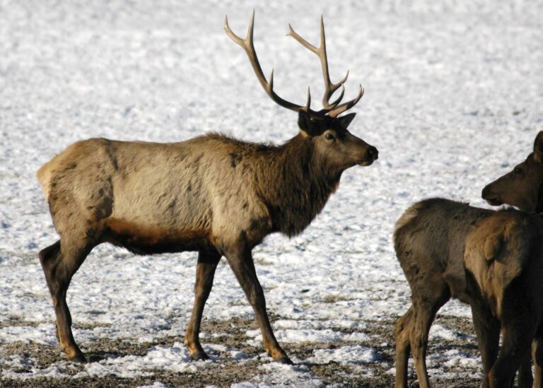
Photo: Oregon Department of Fish and Wildlife (Public Domain Mark 1.0)

Photo: Oregon Department of Fish and Wildlife (Public Domain Mark 1.0)

Photo: Jeff Gunn (CC BY 2.0)
Questions on the antlerless elk damage areas
What is the Oregon elk damage tag?
A general season antlerless elk damage tag, sold with no deadline, valid in 14 mapped areas to reduce elk damage on private land.
How long does the elk damage season last?
Most areas run August 1 to March 31; Halfway Valley August 1 – November 30, Richland Valley August 1 – November 30, Ukiah and Heppner August 1 – November 30, Walla Walla August 1 – November 30, Wallowa Valley August 1 – November 30, John Day Valley August 1 – November 30 and Grande Ronde Baker Keating Valleys August 1 – November 30.
Can I hold an elk damage tag and another elk tag?
One elk tag (general archery, West Cascade, Coast 1st or 2nd, Rocky Mountain 2nd, antlerless damage, or controlled 200 series); premium/auction/raffle tags additional.
Which elk damage area is largest?
Columbia Plateau, about 5,354 square miles on the ODFW layer.
How many elk were taken on damage tags in 2025?
The report rows sum to 2,577 elk for 4,906 hunters.
Is the damage tag good on public land?
The tag is valid inside the mapped damage areas; check the area map and landowner permission, since most damage areas are private agricultural land.
Other photos on this page: Oregon Department of Fish and Wildlife (Public Domain Mark 1.0); Oregon Department of Fish and Wildlife (Public Domain Mark 1.0); Jeff Gunn (CC BY 2.0).