Home › Oregon › Public land › Wildlife refuges
USFWS refuges under rule 50 CFR 32.56
Oregon National Wildlife Refuges
20 refuges with Oregon land listed in 50 CFR 32.56, with the species each allows, plus 4 refuges that stay closed.
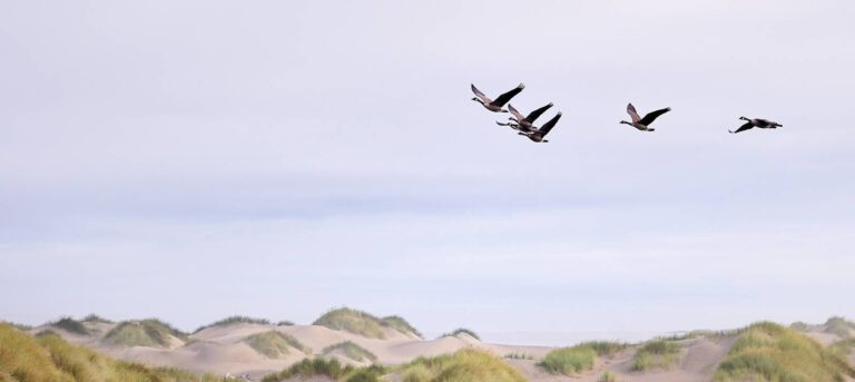
Photo: Oregon Department of Fish and Wildlife (CC BY-SA 2.0)
Refuges open to some hunting
Refuge hunting runs on a stricter model than other federal land. A refuge is closed unless the Fish and Wildlife Service opens it, and 50 CFR 32.56 holds a lettered paragraph for each Oregon refuge that names the species allowed and the conditions, such as shot type, hunt days and the units that stay closed. Most Oregon refuges are waterfowl ground: Lower and Upper Klamath, Malheur, Baskett Slough, William L. Finley, Tualatin River and the Bandon Marsh, Nestucca Bay and Siletz Bay refuges on the coast. 7 also allow some big game, among them Hart Mountain, open under ODFW controlled pronghorn and mule deer hunts, Malheur, McKay Creek and Cold Springs. Sheldon National Wildlife Refuge is a special case: 50 CFR 32.56 still lists hunting paragraphs for it, but the 2026 ODFW big game booklet says it is closed to all hunting.
| Refuge | CFR paragraph | Counties | Species named | Acres (Oregon) |
|---|---|---|---|---|
| Hart Mountain NAR | 32.56(f) | Lake | dove, waterfowl, snipe, quail + | 279,872 |
| Malheur NWR | 32.56(k) | Harney | dove, waterfowl, snipe, pheasant + | 188,776 |
| Klamath Marsh NWR | 32.56(h) | Klamath | waterfowl, snipe | 47,193 |
| Upper Klamath NWR | 32.56(s) | Klamath | waterfowl, snipe | 25,089 |
| Lewis and Clark NWR | 32.56(i) | Clatsop | waterfowl, snipe | 13,048 |
| Umatilla NWR | 32.56(r) | Morrow | dove, waterfowl, snipe, upland birds | 9,007 |
| Lower Klamath NWR | 32.56(j) | Klamath | waterfowl, snipe, pheasant, quail | 8,496 |
| William L. Finley NWR | 32.56(u) | Benton, Linn | waterfowl | 5,696 |
| Bear Valley NWR | 32.56(c) | Klamath | deer | 4,214 |
| Julia Butler Hansen NWR | 32.56(g) | Clatsop, Columbia | waterfowl, snipe | 3,150 |
| Cold Springs NWR | 32.56(d) | Umatilla | dove, waterfowl, snipe, upland birds + | 3,116 |
| Baskett Slough NWR | 32.56(b) | Polk | waterfowl | 2,512 |
| McKay Creek NWR | 32.56(l) | Umatilla | dove, waterfowl, snipe, wild turkey + | 1,823 |
| Tualatin River NWR | 32.56(q) | Washington | dove, waterfowl, snipe | 1,355 |
| Nestucca Bay NWR | 32.56(n) | Tillamook | waterfowl | 1,198 |
| Wapato Lake NWR | 32.56(t) | Washington, Yamhill | dove, waterfowl, snipe | 957 |
| Bandon Marsh NWR | 32.56(a) | Coos | waterfowl, snipe | 904 |
| Sheldon NWR | 32.56(o) | Lake, Harney | quail, gray partridge, grouse, deer + | 632 |
| Siletz Bay NWR | 32.56(p) | Lincoln | waterfowl | 529 |
| Deer Flat NWR | 32.56(e) | Malheur | dove, waterfowl, snipe, pheasant + | 223 |
Sources: 50 CFR 32.56 · ODFW refuge regulations; acres are the Oregon part (FWS GIS); checked November 8, 2026.
Refuges closed to hunting
Four coastal and valley refuges with Oregon land do not appear in 50 CFR 32.56 at all, so they are closed to hunting; Ankeny is also named closed to all game bird hunting in the 2026-27 booklet. McNary, which 50 CFR 32.56 only cross-references to the Washington section, is left out of this guide.
| Closed refuge | Counties | Acres | Reason |
|---|---|---|---|
| Ankeny NWR | Marion | 2,797 | Not listed in 50 CFR 32.56 (refuges open to hunting or fishing in Oregon). |
| Cape Meares NWR | Tillamook | 143 | Not listed in 50 CFR 32.56 (refuges open to hunting or fishing in Oregon). |
| Oregon Islands NWR | Curry, Coos, Lincoln + | 514 | Not listed in 50 CFR 32.56 (refuges open to hunting or fishing in Oregon). |
| Three Arch Rocks NWR | Tillamook | 15 | Not listed in 50 CFR 32.56 (refuges open to hunting or fishing in Oregon). |