Home › Mississippi › Counties
2026-27 county guides
Mississippi Hunting by County
All 82 Mississippi counties with deer unit status, CWD zone and sample facts, MDWFP region, towns and public land, checked November 14, 2026.
Photo: WillyBearden (CC BY-SA 4.0)
Mississippi counties for hunters
Mississippi sets few rules county by county: seasons are statewide or tied to a deer unit, and the real differences are which units, which CWD zones and which public land reach each county. These 82 pages cover every county with its unit status, CWD sample counts, MDWFP region, public land, towns and the services around it. Only six counties form the North Central deer unit (Alcorn, Benton, DeSoto, Marshall, Tate and Tippah); the other three units follow highways and rivers and cannot be assigned to counties.
CWD management zones touch 20 counties, and the county layer records positives in 18: 586 of 67,712 samples, with no date printed. Panola County has the most CWD samples in the layer (3,389), and Yazoo County is the largest county by land area. 19 counties have no public hunting area of their own in the land data (among them Calhoun County, Clarke County, Clay County, Covington County, DeSoto County), and their pages point to the nearest ones.
Every Mississippi county side by side
Filter by typing a county name, a seat or a region.
| County | Region | Seat | People 2024 | Deer unit | CWD zone | CWD found | Sites |
|---|---|---|---|---|---|---|---|
| Adams County | South | Natchez | 28,674 | Highway units | Outside | None | 5 |
| Alcorn County | North | Corinth | 34,228 | North Central | Whole county | Found | 1 |
| Amite County | South | Liberty | 12,451 | Highway units | Outside | None | 3 |
| Attala County | Central | Kosciusko | 17,222 | Highway units | Outside | None | 1 |
| Benton County | North | Ashland | 7,566 | North Central | Whole county | Found | 2 |
| Bolivar County | North | Cleveland | 28,395 | Highway units | Outside | None | 4 |
| Calhoun County | North | Pittsboro | 12,754 | Highway units | Outside | None | 0 |
| Carroll County | North | Carrollton | 9,378 | Highway units | Outside | None | 1 |
| Chickasaw County | North | Houston | 16,774 | Highway units | Outside | None | 3 |
| Choctaw County | Central | Ackerman | 8,091 | Highway units | Outside | None | 3 |
| Claiborne County | South | Port Gibson | 8,122 | Highway units | Whole county | Found | 1 |
| Clarke County | Central | Quitman | 15,155 | Highway units | Outside | None | 0 |
| Clay County | North | West Point | 18,213 | Highway units | Outside | None | 0 |
| Coahoma County | North | Clarksdale | 20,105 | Highway units | Part | None | 1 |
| Copiah County | South | Hazlehurst | 27,536 | Highway units | Outside | None | 4 |
| Covington County | South | Collins | 18,015 | Highway units | Outside | None | 0 |
| DeSoto County | North | Hernando | 195,871 | North Central | Whole county | Found | 0 |
| Forrest County | South | Hattiesburg | 78,435 | Highway units | Outside | None | 2 |
| Franklin County | South | Meadville | 7,516 | Highway units | Outside | None | 4 |
| George County | South | Lucedale | 25,880 | Highway units | Outside | None | 5 |
| Greene County | South | Leakesville | 13,675 | Highway units | Outside | None | 4 |
| Grenada County | North | Grenada | 20,931 | Highway units | Outside | None | 2 |
| Hancock County | South | Bay St. Louis | 46,492 | Highway units | Part | None | 0 |
| Harrison County | South | Gulfport | 213,730 | Highway units | Part | Found | 3 |
| Hinds County | Central | Jackson | 211,975 | Highway units | Outside | None | 0 |
| Holmes County | Central | Lexington | 15,560 | Highway units | Outside | None | 3 |
| Humphreys County | Central | Belzoni | 7,121 | Highway units | Outside | None | 2 |
| Issaquena County | Central | Mayersville | 1,295 | Highway units | Part | Found | 8 |
| Itawamba County | North | Fulton | 24,198 | Highway units | Outside | None | 2 |
| Jackson County | South | Pascagoula | 147,002 | Highway units | Outside | None | 7 |
| Jasper County | Central | Bay Springs | 15,799 | Highway units | Outside | None | 3 |
| Jefferson County | South | Fayette | 6,900 | Highway units | Outside | None | 2 |
| Jefferson Davis County | South | Prentiss | 11,059 | Highway units | Outside | None | 0 |
| Jones County | South | Laurel | 65,837 | Highway units | Outside | None | 4 |
| Kemper County | Central | De Kalb | 8,562 | Highway units | Outside | None | 1 |
| Lafayette County | North | Oxford | 59,843 | Highway units | Whole county | Found | 3 |
| Lamar County | South | Purvis | 66,734 | Highway units | Outside | None | 1 |
| Lauderdale County | Central | Meridian | 70,588 | Highway units | Outside | None | 1 |
| Lawrence County | South | Monticello | 11,672 | Highway units | Outside | None | 0 |
| Leake County | Central | Carthage | 21,462 | Highway units | Outside | None | 0 |
| Lee County | North | Tupelo | 83,012 | Highway units | Outside | None | 0 |
| Leflore County | North | Greenwood | 26,157 | Highway units | Outside | None | 4 |
| Lincoln County | South | Brookhaven | 34,956 | Highway units | Outside | None | 2 |
| Lowndes County | North | Columbus | 57,210 | Highway units | Outside | None | 1 |
| Madison County | Central | Canton | 114,247 | Highway units | Outside | None | 1 |
| Marion County | South | Columbia | 24,008 | Highway units | Outside | None | 1 |
| Marshall County | North | Holly Springs | 34,374 | North Central | Whole county | Found | 4 |
| Monroe County | No label | Aberdeen | 33,483 | Highway units | Outside | None | 2 |
| Montgomery County | North | Winona | 9,411 | Highway units | Outside | None | 0 |
| Neshoba County | Central | Philadelphia | 28,973 | Highway units | Outside | None | 1 |
| Newton County | Central | Decatur | 21,063 | Highway units | Outside | None | 3 |
| Noxubee County | Central | Macon | 9,825 | Highway units | Outside | None | 1 |
| Oktibbeha County | North | Starkville | 51,965 | Highway units | Outside | None | 5 |
| Panola County | North | Batesville | 32,764 | Highway units | Whole county | Found | 1 |
| Pearl River County | South | Poplarville | 59,030 | Highway units | Outside | None | 6 |
| Perry County | South | New Augusta | 11,406 | Highway units | Outside | None | 3 |
| Pike County | South | Magnolia | 38,980 | Highway units | Outside | None | 0 |
| Pontotoc County | North | Pontotoc | 32,014 | Highway units | Part | Found | 3 |
| Prentiss County | North | Booneville | 25,489 | Highway units | Whole county | Found | 3 |
| Quitman County | North | Marks | 5,542 | Highway units | Part | None | 2 |
| Rankin County | Central | Brandon | 160,573 | Highway units | Outside | None | 0 |
| Scott County | Central | Forest | 27,666 | Highway units | Outside | None | 5 |
| Sharkey County | Central | Rolling Fork | 3,234 | Highway units | Outside | None | 5 |
| Simpson County | Central | Mendenhall | 25,597 | Highway units | Outside | None | 0 |
| Smith County | Central | Raleigh | 14,051 | Highway units | Outside | None | 4 |
| Stone County | South | Wiggins | 19,569 | Highway units | Outside | None | 4 |
| Sunflower County | North | Indianola | 23,029 | Highway units | Outside | None | 2 |
| Tallahatchie County | North | Charleston | 10,921 | Highway units | Outside | Found | 3 |
| Tate County | North | Senatobia | 28,551 | North Central | Whole county | Found | 0 |
| Tippah County | North | Ripley | 21,423 | North Central | Whole county | Found | 3 |
| Tishomingo County | North | Iuka | 18,553 | Highway units | Whole county | Found | 2 |
| Tunica County | North | Tunica | 9,157 | Highway units | Part | Found | 0 |
| Union County | North | New Albany | 28,363 | Highway units | Whole county | Found | 4 |
| Walthall County | South | Tylertown | 13,839 | Highway units | Outside | None | 0 |
| Warren County | Central | Vicksburg | 42,105 | Highway units | Whole county | Found | 6 |
| Washington County | Central | Greenville | 41,181 | Highway units | Outside | None | 5 |
| Wayne County | South | Waynesboro | 19,749 | Highway units | Outside | None | 2 |
| Webster County | North | Walthall | 10,039 | Highway units | Outside | None | 0 |
| Wilkinson County | South | Woodville | 7,820 | Highway units | Outside | None | 3 |
| Winston County | Central | Louisville | 17,418 | Highway units | Outside | None | 5 |
| Yalobusha County | North | Water Valley | 12,458 | Highway units | Outside | None | 3 |
| Yazoo County | Central | Yazoo City | 23,024 | Highway units | Outside | None | 3 |
Counties, seats and population from the Census Bureau (2024); units and CWD from the 2026-27 MDWFP hunting seasons sheet and the County_Info layer (Mississippi Department of Wildlife, Fisheries, and Parks); checked November 14, 2026.
Map of Mississippi counties
Solid pins mark counties with CWD found; hollow pins mark the rest.
MDWFP prints no deer or turkey harvest totals by county, so none appear on any county page. Waterfowl has one statewide set of dates, with no zones, and spring turkey is one statewide season. Region and district tags come from the MDWFP county layer; seven counties are flagged because the two disagree or one is blank. The county pages link to 87 public land records, plus services, towns and shooting ranges nearby. Legal hours are worked out for each county center with the NOAA solar formula on Central Time. No Sunday hunting rule is stated in the sources we read, apart from Rule 9.1 on Saturday openers.
Counties by MDWFP region
North Region counties
- Alcorn CountyCorinth
- Benton CountyAshland
- Bolivar CountyCleveland
- Calhoun CountyPittsboro
- Carroll CountyCarrollton
- Chickasaw CountyHouston
- Clay CountyWest Point
- Coahoma CountyClarksdale
- DeSoto CountyHernando
- Grenada CountyGrenada
- Itawamba CountyFulton
- Lafayette CountyOxford
- Lee CountyTupelo
- Leflore CountyGreenwood
- Lowndes CountyColumbus
- Marshall CountyHolly Springs
- Montgomery CountyWinona
- Oktibbeha CountyStarkville
- Panola CountyBatesville
- Pontotoc CountyPontotoc
- Prentiss CountyBooneville
- Quitman CountyMarks
- Sunflower CountyIndianola
- Tallahatchie CountyCharleston
- Tate CountySenatobia
- Tippah CountyRipley
- Tishomingo CountyIuka
- Tunica CountyTunica
- Union CountyNew Albany
- Webster CountyWalthall
- Yalobusha CountyWater Valley
Central Region counties
- Attala CountyKosciusko
- Choctaw CountyAckerman
- Clarke CountyQuitman
- Hinds CountyJackson
- Holmes CountyLexington
- Humphreys CountyBelzoni
- Issaquena CountyMayersville
- Jasper CountyBay Springs
- Kemper CountyDe Kalb
- Lauderdale CountyMeridian
- Leake CountyCarthage
- Madison CountyCanton
- Neshoba CountyPhiladelphia
- Newton CountyDecatur
- Noxubee CountyMacon
- Rankin CountyBrandon
- Scott CountyForest
- Sharkey CountyRolling Fork
- Simpson CountyMendenhall
- Smith CountyRaleigh
- Warren CountyVicksburg
- Washington CountyGreenville
- Winston CountyLouisville
- Yazoo CountyYazoo City
South Region counties
- Adams CountyNatchez
- Amite CountyLiberty
- Claiborne CountyPort Gibson
- Copiah CountyHazlehurst
- Covington CountyCollins
- Forrest CountyHattiesburg
- Franklin CountyMeadville
- George CountyLucedale
- Greene CountyLeakesville
- Hancock CountyBay St. Louis
- Harrison CountyGulfport
- Jackson CountyPascagoula
- Jefferson CountyFayette
- Jefferson Davis CountyPrentiss
- Jones CountyLaurel
- Lamar CountyPurvis
- Lawrence CountyMonticello
- Lincoln CountyBrookhaven
- Marion CountyColumbia
- Pearl River CountyPoplarville
- Perry CountyNew Augusta
- Pike CountyMagnolia
- Stone CountyWiggins
- Walthall CountyTylertown
- Wayne CountyWaynesboro
- Wilkinson CountyWoodville
No region label
- Monroe CountyAberdeen
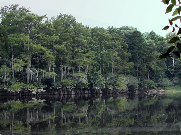
Pascagoula River oxbow with a wooded shorelinePhoto: Ronnie Blackwell (CC BY-SA 2.0)
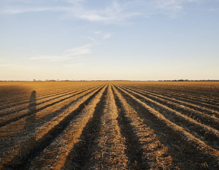
Plowed cotton rows glowing in low sunPhoto: Free Public Domain Illustrations by rawpixel (CC BY 2.0)

Wooded valley and river seen from a high overlook on the Yazoo RiverPhoto: Kevin (CC BY 2.0)
Questions about Mississippi counties
What is the county count for Mississippi hunters here?
Eighty-two, and each one has a page of its own on this site.
Do deer rules change from county to county?
Mostly not; only the six North Central unit counties are named, and the other units follow highways and rivers.
Which counties are in the North Central deer unit?
Alcorn, Benton, DeSoto, Marshall, Tate and Tippah, as MDWFP lists them.
In which counties did CWD turn up?
The county layer shows positives in 18 counties, with 586 positives among 67,712 samples and no date printed.
Which counties are in a CWD management zone?
20 counties touch a zone, 13 wholly and 7 in part, split among the North Mississippi, Issaquena and Harrison zones.
Is there county harvest data for deer?
Not that MDWFP publishes on the pages we read, so no county page shows one.
Where do the region labels come from?
From the MDWFP county layer; seven counties are flagged because the district number and label disagree or the label is blank.
Do I need a lottery tag to hunt deer in a county?
No; deer and turkey on private land and open public land take a license, and only management area hunts are drawn.
From the 2026-27 MDWFP hunting seasons sheet and the County_Info layer; checked November 14, 2026.