Home › Montana › Seasons › Hunting districts › HD 410
Deer and elk district 410 in FWP Region 4
Montana HD 410 Missouri River Breaks Hunting Season 2026-27
Fergus, Garfield and Petroleum counties are touched by Missouri River Breaks, hunting district 410, which has ten deer and elk season rows in the 2026-27 booklet.
Updated November 19, 2026 · Source: Montana Fish, Wildlife and Parks
Lodgepole pine on a ridge, Fergus County, Montana
Photo: Matt Lavin (CC BY-SA 2.0)
Deer and elk hunts in district 410
Every line below comes from the 2026-27 deer, elk and antelope booklet. For Missouri River Breaks that means ten rows: one general, six B license and three permit rows, each with its own dates.
| Game | Hunt | License | Archery | General | Muzzleloader | Today |
|---|---|---|---|---|---|---|
| Deer | either-sex whitetail | General license | Sept. 5-Oct. 18 | Oct. 24-Nov. 29 | Dec. 12-Dec. 20 | |
| Deer | antlerless mule deer | B license 410-00 | Sept. 5-Oct. 18 | Oct. 24-Nov. 29 | Dec. 12-Dec. 20 | |
| Deer | antlerless whitetail | B license 004-00 | Sept. 5-Oct. 18 | Oct. 24-Nov. 29 | Dec. 12-Dec. 20 | |
| Deer | antlerless whitetail | B license 004-01 | Sept. 5-Oct. 18 | Oct. 24-Nov. 29 | Dec. 12-Dec. 20 | |
| Deer | buck mule deer | Special permit 410-50 | Sept. 5-Oct. 18 | Oct. 24-Nov. 29 | Dec. 12-Dec. 20 | |
| Elk | antlerless elk | B license 410-00 | Sept. 5-Oct. 18 | Oct. 24-Nov. 29 | Dec. 12-Dec. 20 | |
| Elk | antlerless elk | B license 410-01 | Sept. 5-Oct. 18 | none | none | |
| Elk | antlerless elk | B license 410-02 | Sept. 5-Oct. 18 | Oct. 24-Nov. 29 | none | |
| Elk | either-sex elk | Special permit 410-20 | Sept. 5-Oct. 18 | Oct. 24-Nov. 29 | Dec. 12-Dec. 20 | |
| Elk | either-sex elk | Special permit 410-21 | Sept. 5-Oct. 18 | none | none |
The deer dates on the general license are archery only from September 5 to October 18, general season from October 24 to November 29 and heritage muzzleloader from December 12 to December 20. Elk hunters get archery only from September 5 to October 18, general season from October 24 to November 29 and heritage muzzleloader from December 12 to December 20. Eight rows fall on November 19, 2026 out of ten printed.
Dates from the 2026-27 deer, elk and antelope regulations (Montana Fish, Wildlife & Parks, as of August 25, 2026); a window that reads none is not printed for that row; checked November 19, 2026.
Licenses and drawings for Missouri River Breaks
Resident prices behind the general rows are $10 for the base license, $8 for conservation, $16 for deer and $20 for elk; nonresident base is $50.
B licenses split this way here: one over the counter on June 15, five by application before June 1.
Special permit rows (three in this district) go through the drawing, which takes applications until April 1.
| Code | Hunt | Quota | Apply by | Kind |
|---|---|---|---|---|
| 410-00 | antlerless mule deer | 5 | June 1 | B license |
| 004-00 | antlerless whitetail | Unlimited | Over the counter June 15 | B license |
| 004-01 | antlerless whitetail | 2,000 | June 1 | B license |
| 410-50 | buck mule deer | 100 | April 1 | Special permit |
| 410-00 | antlerless elk | 50 | June 1 | B license |
| 410-01 | antlerless elk | 300 | June 1 | B license |
| 410-02 | antlerless elk | 700 | June 1 | B license |
| 410-20 | either-sex elk | 75 | April 1 | Special permit |
| 410-21 | either-sex elk | 1,000 | April 1 | Special permit |
| Codes | Printed note |
|---|---|
Licenses, quotas and notes from the FWP deer, elk and antelope booklet, fees from the FWP license fees and the draw rules from the FWP draw page; checked November 19, 2026.
Missouri River Breaks harvest, from FWP counts
What deer hunters reported
The 2025 statistics page counts 220 deer taken in this district, split into 167 bucks, 53 does and 0 fawns. Of the deer reported, 159 belong to residents and 61 to nonresidents. Estimated hunters number 505 and estimated hunter days 3,423; divided by the count, that is near 16 days for every animal. Among the 138 districts with a 2025 deer count, this one ranks 97th, and 25th of 33 inside FWP Region 4.
Elk, by class
FWP reports 453 elk for this district in 2025: 247 bulls, 202 cows and 4 calves. The residency rows split the count into 380 resident and 73 nonresident elk. The elk page lists counts alone and no estimate of hunters afield. Side by side with the other 133 districts that have 2025 elk rows, it sits at number 13; within Region 4 it is number 3 of 32.
Harvest from the FWP statistics pages for this district (license year 2025); checked November 19, 2026.
Other FWP units numbered 410
FWP keeps a separate list for each kind of game, so number 410 is also used by one other unit with its own name and county list; they are not the same ground as the deer and elk district.
| Game | Its own name | Counties | Rows | Opens | Closes |
|---|---|---|---|---|---|
| Mountain lion | Missouri River Breaks | 3 counties | 1 row | Sept. 5 | May 25 |
From the FWP regulation booklets; unit names and counties from the FWP unit lists; checked November 19, 2026.
Counties, Block Management and land near Missouri River Breaks
District 410 is connected to Fergus, Garfield and Petroleum counties through its written description. The word touches is the right one, because no county is claimed whole.
Questions about Missouri River Breaks go to the Region 4 office in Great Falls.
Block Management
Sixteen Block Management areas list this district on their rules sheets, with the biggest tracts first below.
| Area | Region and number | Acres | County | Access |
|---|---|---|---|---|
| Chain Buttes BMA | Region 4 #32 | 155,287 | Petroleum | Type 1 |
| East Indian Buttes BMA | Region 4 #33 | 76,324 | Fergus | Type 1 |
| Region 4 #30 | 20,226 | Petroleum | Type 1 | |
| Solf Ranch BMA | Region 5 #25 | 13,280 | Petroleum | Type 1 |
| Chimney Rock BMA | Region 4 #36 | 8,776 | Petroleum | Type 1 |
| J Bar J BMA | Region 4 #163 | 7,720 | Petroleum | Type 1 |
| Ap-2 Crow BMA | Region 4 #196 | 7,335 | Petroleum | Type 2 |
| Davis Gilfeather BMA | Region 4 #34 | 4,600 | Petroleum | Type 1 |
| Aj Kuhry Ranch BMA | Region 4 #132 | 4,520 | Petroleum | Type 1 |
| Browning Ranch BMA | Region 4 #114 | 4,520 | Petroleum | Type 1 |
| Haywire Cattle Company BMA | Region 4 #5 | 4,318 | Petroleum | Type 1 |
| Blakeslee BMA | Region 4 #2 | 3,114 | Petroleum | Type 1 |
| Box Elder Creek BMA | Region 4 #89 | 2,367 | Petroleum | Type 1 |
| Tv Tower BMA | Region 4 #143 | 1,560 | Petroleum | Type 1 |
Land in the surrounding counties
Counting Fergus, Garfield and Petroleum counties, the guide holds 15 places other than Block Management, and a selection follows; a place may lie outside Missouri River Breaks.
| Place | Type | Size | County |
|---|---|---|---|
| Beckman WMA | Wildlife management area | 6,639 acres | Fergus |
| National forest | 2,857,372 acres | Several counties | |
| Judith-Musselshell Ranger District | Ranger district | 545,235 acres | Several counties |
| Lewistown Field Office | BLM field office | 375,000 acres | Several counties |
| Miles City Field Office | BLM field office | 375,000 acres | Several counties |
| BLM field office | 375,000 acres | Several counties | |
| National wildlife refuge | 953,899 acres | Several counties | |
| National wildlife refuge | 2,847 acres | Petroleum | |
| Waterfowl production area | 600 acres | Petroleum | |
| Fishing access site | 78 acres | Fergus |
Counties from the FWP legal descriptions (2026-27 legal descriptions), offices from the FWP contact page, Block Management from the FWP Block Management page; checked November 19, 2026.
What to know before hunting Missouri River Breaks
District 410 is outside both CWD management zones (Libby and Kalispell), and FWP prints its detections as a map image only, so no detection status is stated here. The priority sampling map touches Fergus County and Petroleum County, and the overlap is 100 percent of Fergus County and 100 percent of Petroleum County.
The orange requirement applies in district 410 as everywhere: hunters must wear a minimum of 400 square inches of hunter orange (fluorescent) material above the waist, visible at all times. During the archery only window (September 5 to October 18) a licensed bowhunter need not wear orange, even if a gun season opens in the district. People born after January 1, 1985 must hold a hunter education certificate to buy a license. Check stations are mandatory for all hunters, game or no game, under MCA 87-6-218.
Notes from the district's entry are listed next.
- Restricted-area entry: Charles M. Russell (CMR) National Wildlife Refuge and US Army Corps of Engineers. CMR National Wildlife Refuge and US Army Corps of Engineers (ACOE) regulations may differ from these regulations, to include closed or weapons restricted areas. Elk hunters in HD 410 may also hunt on islands in the Missouri River adjacent to where their elk permit is valid. Island is defined as land completely surrounded by water at the time of the hunt.
Rules from the FWP CWD section, orange rule, hunter education and the district notes in the district rows; checked November 19, 2026.
Dawn and dusk by key date for Missouri River Breaks
The Fergus County center supplies the coordinates, and the formula gives sunrise and sunset in Mountain Time; legal hours add half an hour on both ends for deer and elk.
| When | Marker | First light | Last light | Hunt begins | Hunt ends |
|---|---|---|---|---|---|
| Nov. 29, 2026 | General closes | 7:40 a.m. MT | 4:31 p.m. MT | 7:10 a.m. MT | 5:01 p.m. MT |
| Dec. 12, 2026 | Muzzleloader opens | 7:54 a.m. MT | 4:27 p.m. MT | 7:24 a.m. MT | 4:57 p.m. MT |
| Dec. 20, 2026 | Muzzleloader closes | 8:00 a.m. MT | 4:29 p.m. MT | 7:30 a.m. MT | 4:59 p.m. MT |
| Dec. 21, 2026 | Shortest day | 8:00 a.m. MT | 4:29 p.m. MT | 7:30 a.m. MT | 4:59 p.m. MT |
Hours rule from the FWP regulations; sunrise and sunset worked out with the NOAA solar formula on Mountain Time; checked November 19, 2026.
Districts that share a county with Missouri River Breaks
Each district below touches a county that Missouri River Breaks touches, ordered by how many counties they share.
| District | Name | Region | Shared county |
|---|---|---|---|
| HD 535 | Southern Snowy Mountains | Region 5 | Fergus, Petroleum |
| HD 700 | Missouri Breaks-Prairie | Region 7 | Garfield, Petroleum |
| HD 411 | Snowy Mountains | Region 4 | Fergus |
| HD 412 | Judith and Moccasin Mountains | Region 4 | Fergus |
| HD 417 | Armells Creek | Region 4 | Fergus |
| HD 418 | South Judith Basin | Region 4 | Fergus |
County overlap worked out from the FWP legal descriptions; checked November 19, 2026.

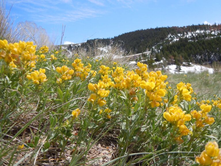
Wildflower meadow, Musselshell County, MontanaPhoto: Matt Lavin (CC BY-SA 2.0)
Yellow wildflowers on a hillside above the river, Judith Basin County, MontanaPhoto: Matt Lavin (CC BY-SA 2.0)
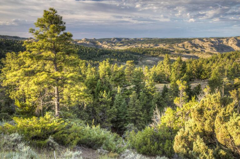
Pine ridge above the Upper Missouri Wild and Scenic River, Blaine County, MontanaPhoto: Bureau of Land Management (CC BY 2.0)
Before you go to Missouri River Breaks, read this
How does FWP define district 410?
Number 410 stands for Missouri River Breaks, a district of North-central Montana that touches Fergus, Garfield and Petroleum counties.
Is Missouri River Breaks inside one county?
It touches Fergus, Garfield and Petroleum counties. The district is never the whole county, and no boundary is claimed.
What days does Missouri River Breaks open and close?
Look at September 5 for the first day and December 20 for the last; the table above has the windows in between.
Is anything in season in district 410 right now?
Today finds eight open rows.
General license or B license in HD 410?
Rows split one general, six B license, three special permit. Nonresident base license: $50; resident: $10.
How many tags are offered in HD 410?
Counting the paperwork table, nine rows are not general: apply by April 1 for permits, June 1 for drawn B licenses, or buy over the counter from June 15.
How did hunters do in district 410?
The deer count is 220 and the elk count 453; see the harvest section for classes.
Is HD 410 on a CWD list?
No zone covers Missouri River Breaks, so only the statewide CWD rules apply.
Can I hunt private land through Block Management in Missouri River Breaks?
Yes, sixteen areas list district 410; the biggest is Chain Buttes BMA.
What number reaches the FWP office behind HD 410?
Call the Great Falls office, Region 4, on (406) 454-5840.
From the FWP deer, elk and antelope booklet, the FWP statistics pages and the district data on this page; checked November 19, 2026.