Home › Montana › Public land › National forests
Land index, national forests
National forests, Seasons, Rules and Maps in One Place
44 national forest records are on file with 34 counties.
The picture is landscape from the state, not a portrait of a listed place.
Photo: U.S. Forest Service Northern Region (CC BY 2.0)
National forests, sizes and numbers
National forest records on file number 44, touching 34 counties, and the acres are not added because forests, districts and programs overlap.
Biggest first: Beaverhead-Deerlodge National Forest at 3,397,589 acres, then Custer Gallatin National Forest at 2,966,225 and Helena-Lewis and Clark NF at 2,857,372.
Pick a forest, then its ranger district: 7 forests and 37 districts are covered.
Counts from the Montana land records (FWP public lands page, FWP lands layers, Forest Service, BLM, Fish and Wildlife Service and DNRC pages), retrieved November 19, 2026; checked November 19, 2026. Acres are printed size and not checked against a survey.
Each record on the list, in one table
| Public land | Type | Counties | Acres | Rule |
|---|---|---|---|---|
| Beaverhead-Deerlodge National Forest | National forest | 8 counties | 3,397,589 | Open, rules apply |
| Bitterroot National Forest | National forest | Missoula, Ravalli | 1,127,200 | Open, rules apply |
| Custer Gallatin National Forest | National forest | 10 counties | 2,966,225 | Open, rules apply |
| Flathead National Forest | National forest | 6 counties | 2,414,171 | Open, rules apply |
| Helena-Lewis and Clark NF | National forest | 16 counties | 2,857,372 | Open, rules apply |
| Kootenai National Forest | National forest | 3 counties | 2,192,557 | Open, rules apply |
| Lolo National Forest | National forest | 9 counties | 2,271,983 | Open, rules apply |
| Butte Ranger District | Ranger district | 4 counties | 614,790 | Open, rules apply |
| Dillon Ranger District | Ranger district | Beaverhead | 572,021 | Open, rules apply |
| Madison Ranger District | Ranger district | 3 counties | 706,936 | Open, rules apply |
| Pintler Ranger District | Ranger district | 3 counties | 645,083 | Open, rules apply |
| Wisdom Ranger District | Ranger district | 3 counties | 858,759 | Open, rules apply |
| Darby Ranger District | Ranger district | Ravalli | 354,251 | Open, rules apply |
| Stevensville Ranger District | Ranger district | Missoula, Ravalli | 228,953 | Open, rules apply |
| Sula Ranger District | Ranger district | Ravalli | 219,664 | Open, rules apply |
| West Fork Ranger District | Ranger district | Ravalli | 324,332 | Open, rules apply |
| Ashland Ranger District | Ranger district | Powder River, Rosebud | 436,158 | Open, rules apply |
| Beartooth Ranger District | Ranger district | 4 counties | 589,018 | Open, rules apply |
| Bozeman Ranger District | Ranger district | 3 counties | 422,673 | Open, rules apply |
| Gardiner Ranger District | Ranger district | 5 counties | 388,085 | Open, rules apply |
| Hebgen Lake Ranger District | Ranger district | Gallatin, Madison | 336,704 | Open, rules apply |
| Sioux Ranger District | Ranger district | Carter | 90,582 | Open, rules apply |
| Yellowstone Ranger District | Ranger district | 4 counties | 703,006 | Open, rules apply |
| Glacier View Ranger District | Ranger district | Flathead | 306,550 | Open, rules apply |
| Hungry Horse Ranger District | Ranger district | Flathead | 434,456 | Open, rules apply |
| Spotted Bear Ranger District | Ranger district | 4 counties | 1,035,664 | Open, rules apply |
| Swan Lake Ranger District | Ranger district | 3 counties | 411,387 | Open, rules apply |
| Tally Lake Ranger District | Ranger district | Flathead, Lincoln | 226,114 | Open, rules apply |
| Ranger district | 6 counties | 549,486 | Open, rules apply | |
| Helena Ranger District | Ranger district | 5 counties | 376,751 | Open, rules apply |
| Judith-Musselshell Ranger District | Ranger district | 7 counties | 545,235 | Open, rules apply |
| Lincoln Ranger District | Ranger district | Lewis and Clark, Powell | 334,377 | Open, rules apply |
| Rocky Mountain Ranger District | Ranger district | 4 counties | 778,690 | Open, rules apply |
| Townsend Ranger District | Ranger district | 4 counties | 272,834 | Open, rules apply |
| Cabinet Ranger District | Ranger district | Sanders | 428,881 | Open, rules apply |
| Fortine Ranger District | Ranger district | Flathead, Lincoln | 259,157 | Open, rules apply |
| Libby Ranger District | Ranger district | 3 counties | 628,163 | Open, rules apply |
| Rexford Ranger District | Ranger district | Lincoln | 315,149 | Open, rules apply |
| Three Rivers Ranger District | Ranger district | Lincoln | 561,206 | Open, rules apply |
| Missoula Ranger District | Ranger district | 4 counties | 565,976 | Open, rules apply |
| Ninemile Ranger District | Ranger district | 3 counties | 395,556 | Open, rules apply |
| Plains/Thompson Falls Ranger District | Ranger district | 3 counties | 490,790 | Open, rules apply |
| Seeley Lake Ranger District | Ranger district | 3 counties | 348,115 | Open, rules apply |
| Superior Ranger District | Ranger district | 3 counties | 471,545 | Open, rules apply |
Counts and names from the Montana land records, retrieved November 19, 2026.
The list drawn as a map

Upper Missouri Wild and Scenic River, MontanaPhoto: Bureau of Land Management (CC BY 2.0)
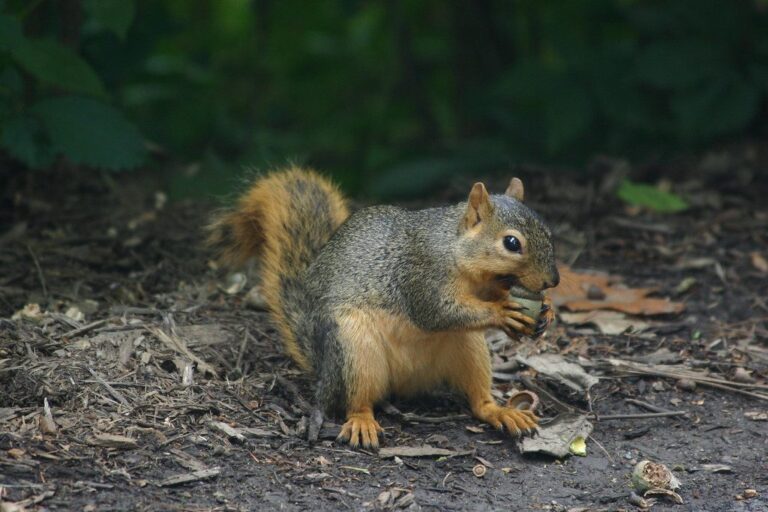
Fox squirrel foragingPhoto: grendelkhan (CC BY-SA 2.0)
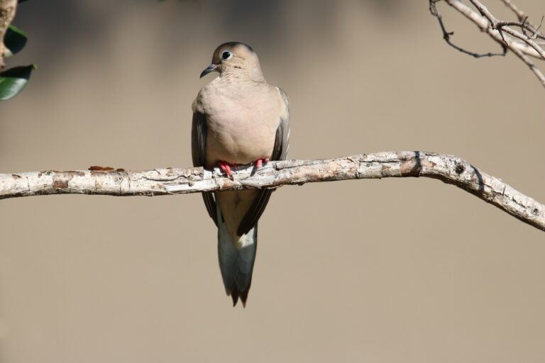
Mourning dove perched on a bare branchPhoto: ImagePerson (CC BY 4.0)
Open questions on national forest records
What do the licenses cost before a hunt on the national forest lands?
Every hunter pays for two prerequisites, $10 and $8 as a resident or $50 and $10 as a nonresident (license page).
How much orange do firearm hunters wear on the national forest lands?
The minimum is 400 square inches above the waist for firearm hunters, and a bowhunter is exempt only in archery-only seasons (hunting laws page).
Who owns the streambed for hunting?
Birds may be hunted below the ordinary high water mark, but game animals need the landowner to agree first.
How long is the roll of national forests on this page?
On this index: 44 records across 34 counties.
Which of the national forest lands would take longest to walk across?
Printed acreage puts Beaverhead-Deerlodge National Forest first, at 3,397,589; open Beaverhead-Deerlodge National Forest for its page.
Can a hunter just show up at the national forest lands with a license?
No drawing applies to ordinary hunting on a national forest; Montana seasons govern and the ranger district posts closures. Read the entry column and then the page for the place you choose.
May a hunter set a feeder on the national forest lands?
No: hunting game animals or game birds with bait, salt, traps, snares or set guns is unlawful in Montana, and the ban does not depend on who owns the land (hunting laws page).
Where do I look to see the national forest lands on a Montana map?
Type in the filter over the table, open the land map, or begin at a county page; each row opens a page with towns and miles.
Which areas appear on the closed list instead of this one?
The closed list keeps 55 closed places apart from the hunting land.
Next steps
Seasons, closures and boundaries shift year to year, so the agency page for any place you choose has the final word.