Home › Montana › Public land › Land map
Land index
Montana Public Hunting Land on One Map
1309 places with coordinates are on the map.
No single property is pictured above; the image is regional.
Photo: Bureau of Land Management (CC BY 2.0)
Each coordinate in the records, plotted
Clusters break apart as you zoom in.
By kind the pins divide into 906 block management areas, 143 fishing access sites, 71 access programs, 69 wildlife management areas, 44 national forests, 25 waterfowl production areas, 17 national wildlife refuges, 15 state parks with hunting, 11 blm and federal land and 8 habitat protection areas.
Which counties hold the pins
Records without a pin
Unpinned: the Block Management Program, the Montana access programs, the Upland Game Bird Enhancement Program, Montana state trust land, Montana State Prison Ranch, Bureau of Reclamation land in Montana, Fort Peck Dam and Lake, Benton Lake Wetland Management District, Bowdoin Wetland Management District, Charles M Russell Wetland Management District, Lamesteer National Wildlife Refuge, Northeast Montana Wetland Management District and Northwest Montana Wetland Management District; their pages give the counties instead.

Swan Mountains reflected in Rainy Lake, MontanaPhoto: U.S. Forest Service Northern Region (CC BY 2.0)
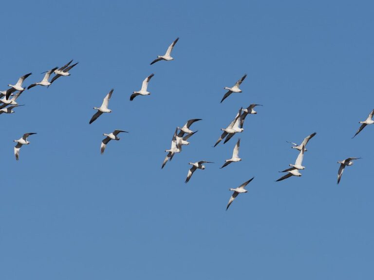
Snow geese in flightPhoto: Birding for Climate (Public domain)

White-tailed deer fawn in tall grassPhoto: USFWS Mountain Prairie (Public domain)
Reader questions on the land map
Where on the body must the orange go?
Plan on 400 square inches of orange above the waist on any kind of land (hunting laws page).
Does the stream access law help hunters?
Stream access is for birds more than for big game: game animals need permission at the high water marks, and retrieval above the mark needs it for birds too.
How many public lands sit on the list below?
You can browse 1322 records across 56 counties.
What does the size ranking of the public lands start with?
Montana state trust land comes out on top with 5,200,000 acres on the record (Montana state trust land).
Are the public lands walk-in, or is permission needed first?
It depends on the kind of land: Block Management is free with sign-in or permission, management areas take a license, forests and BLM land are open where access is legal, and refuges set their own conditions. Call the regional office if anything is unclear.
Is luring game with feed allowed on the public lands?
Baiting is illegal for game animals and game birds on every kind of land, public or private (hunting laws page).
How can I sort the public lands by what is near me?
Narrow the table by typing a name or county, or zoom the land map to your area and tap the pin.
Is any public ground off limits no matter the license?
Leave off 40 state parks, 2 National Park Service units and 6 reservations; see the closed list.
What should a budget for the public lands include in licenses?
Budget for the base and conservation licenses first, $10 and $8 for residents; see the license page.
Plan the trip
Pick a place, then open its page for rules, dates and the closest town.