Home › Montana › Public land › Wildlife management areas
2026-27 season
Hunting the Montana wildlife management areas
Browse 69 wildlife management areas; the table gives county, acres and how hunters get in.
A stock landscape from Montana sits above, not a view of a place on the list.
Photo: Bureau of Land Management (CC BY 2.0)
A tally of wildlife management areas from the records
The records list 69 wildlife management areas, adding up to 462,764 acres as printed, spread over 35 counties.
Size order starts with Mount Haggin WMA (60,029 acres), then Spotted Dog WMA and Fish Creek WMA.
57 records out of 69 carry deer on their species line.
Camping, facilities and winter closures are set area by area and are on each page.
| Wildlife region | Count | Size | Office place | Line |
|---|---|---|---|---|
| Region 1 | 13 | 15,139 | Kalispell | (406) 752-5501 |
| Region 2 | 14 | 156,512 | Missoula | (406) 542-5500 |
| Region 3 | 11 | 148,333 | Bozeman | (406) 577-7900 |
| Region 4 | 9 | 107,210 | Great Falls | (406) 454-5840 |
| Region 5 | 6 | 15,970 | Billings | (406) 247-2940 |
| Region 6 | 12 | 14,490 | Glasgow | (406) 228-3700 |
| Region 7 | 4 | 5,110 | Miles City | (406) 234-0900 |
Each regional office answers for the areas in its region; counts and phone numbers are in the table.
Counts from the Montana land records (FWP public lands page, FWP lands layers, Forest Service, BLM, Fish and Wildlife Service and DNRC pages), retrieved November 19, 2026; checked November 19, 2026. Acres are printed size and not checked against a survey.
The full table
| Area | Type | County line | Acreage | Hunting |
|---|---|---|---|---|
| Pablo WMA | Wildlife area | Lake | 195 | License needed |
| Ray Kuhns WMA | Wildlife area | Flathead | 1,557 | License needed |
| Mount Silcox WMA | Wildlife area | Sanders | 1,535 | License needed |
| Ninepipe WMA | Wildlife area | Lake | 4,147 | License needed |
| Roundhorn WMA | Wildlife area | Sanders | 27 | License needed |
| Kootenai Falls WMA | Wildlife area | Lincoln | 172 | License needed |
| Kootenai West WMA | Wildlife area | Lincoln | 921 | License needed |
| Kootenai Woods Ranch WMA | Wildlife area | Lincoln | 1,484 | License needed |
| Warm Springs WMA | Wildlife area | Deer Lodge | 4,180 | License needed |
| Nevada Lake WMA | Wildlife area | Powell | 1,523 | License needed |
| Threemile WMA | Wildlife area | Ravalli | 6,430 | License needed |
| Lost Creek WMA | Wildlife area | Deer Lodge | 1,410 | License needed |
| Mount Jumbo WMA | Wildlife area | Missoula | 118 | License needed |
| Blackfoot-Clearwater WMA | Wildlife area | Missoula, Powell | 29,343 | License needed |
| Calf Creek WMA | Wildlife area | Ravalli | 2,415 | License needed |
| Aunt Molly WMA | Wildlife area | Powell | 1,183 | License needed |
| Fleecer Mountain WMA | Wildlife area | Silver Bow | 7,591 | License needed |
| Wall Creek WMA | Wildlife area | Madison | 7,709 | License needed |
| Blacktail WMA | Wildlife area | Beaverhead | 17,964 | License needed |
| Gallatin WMA | Wildlife area | Gallatin | 8,653 | License needed |
| Dome Mountain WMA | Wildlife area | Park | 5,017 | License needed |
| Canyon Creek WMA | Wildlife area | Lewis and Clark | 3,315 | License needed |
| Robb-Ledford WMA | Wildlife area | Madison, Beaverhead | 28,236 | License needed |
| Mount Haggin WMA | Wildlife area | Deer Lodge, Silver Bow | 60,029 | License needed |
| Bear Creek WMA | Wildlife area | Madison | 3,468 | License needed |
| Canyon Ferry WMA | Wildlife area | Broadwater | 5,920 | License needed |
| Lake Helena WMA | Wildlife area | Lewis and Clark | 431 | License needed |
| Sun River WMA | Wildlife area | Lewis and Clark | 19,745 | License needed |
| Judith River WMA | Wildlife area | Judith Basin | 9,397 | License needed |
| Beartooth WMA | Wildlife area | Lewis and Clark, Cascade | 35,174 | License needed |
| Ear Mountain WMA | Wildlife area | Teton | 3,053 | License needed |
| Blackleaf WMA | Wildlife area | Teton | 10,754 | License needed |
| Freezout Lake WMA | Wildlife area | Teton | 11,294 | License needed |
| Smith River WMA | Wildlife area | Meagher | 3,382 | License needed |
| Big Lake WMA | Wildlife area | Stillwater | 3,371 | License needed |
| Haymaker WMA | Wildlife area | Wheatland | 1,334 | License needed |
| Silver Run WMA | Wildlife area | Carbon | 651 | License needed |
| Grant Marsh WMA | Wildlife area | Big Horn | 537 | License needed |
| Dodson Dam WMA | Wildlife area | Phillips | 704 | License needed |
| Dodson Creek WMA | Wildlife area | Phillips | 54 | License needed |
| Sleeping Buffalo WMA | Wildlife area | Phillips | 1,315 | License needed |
| Hinsdale WMA | Wildlife area | Valley | 262 | License needed |
| Fresno Reservoir WMA | Wildlife area | Hill | 2,688 | License needed |
| Rookery WMA | Wildlife area | Hill | 2,293 | License needed |
| Fox Lake WMA | Wildlife area | Richland | 1,485 | License needed |
| Vandalia WMA | Wildlife area | Valley | 404 | License needed |
| Isaac Homestead WMA | Wildlife area | Treasure | 1,661 | License needed |
| Seven Sisters WMA | Wildlife area | Richland | 1,554 | License needed |
| Elk Island WMA | Wildlife area | Richland | 1,701 | License needed |
| Amelia Island WMA | Wildlife area | Treasure | 194 | License needed |
| Beckman WMA | Wildlife area | Fergus | 6,639 | License needed |
| Garrity Mountain WMA | Wildlife area | Deer Lodge | 10,833 | License needed |
| Blue Eyed Nellie WMA | Wildlife area | Deer Lodge | 194 | License needed |
| Fresno Tailwater WMA | Wildlife area | Hill | 125 | License needed |
| Bull River WMA | Wildlife area | Sanders, Lincoln | 1,576 | License needed |
| North Swan Valley WMA | Wildlife area | Lake | 1,886 | License needed |
| Stucky Ridge WMA | Wildlife area | Deer Lodge | 294 | License needed |
| Yellowstone WMA | Wildlife area | Yellowstone | 4,407 | License needed |
| Marias River WMA | Wildlife area | Toole, Pondera | 7,772 | License needed |
| Cree Crossing WMA | Wildlife area | Phillips | 398 | License needed |
| Fish Creek WMA | Wildlife area | Mineral | 36,101 | License needed |
| Spotted Dog WMA | Wildlife area | Powell | 37,690 | License needed |
| Marshall Creek WMA | Wildlife area | Missoula | 24,798 | License needed |
| Full Curl WMA | Wildlife area | Sanders | 440 | License needed |
| Lost River WMA | Wildlife area | Hill | 3,706 | License needed |
| Spring Coulee WMA | Wildlife area | Chouteau | 1,056 | License needed |
| North Shore WMA | Wildlife area | Flathead | 426 | License needed |
| Bad Rock Canyon WMA | Wildlife area | Flathead | 773 | License needed |
| Big Snowy Mountains WMA | Wildlife area | Golden Valley | 5,670 | License needed |
Counts and names from the Montana land records, retrieved November 19, 2026.
Every place on the list, pinned

Swan Mountains reflected in Rainy Lake, MontanaPhoto: U.S. Forest Service Northern Region (CC BY 2.0)
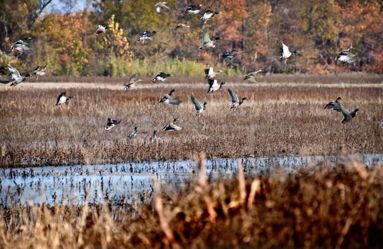
Flock of mallards taking flight over a marshPhoto: U.S. Fish and Wildlife Service – Midwest Region (Public domain)
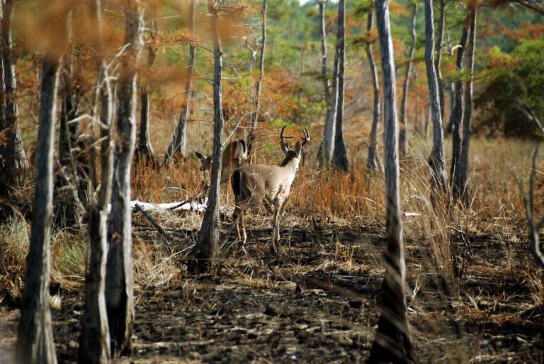
White-tailed deer buck in the treesPhoto: USFWS/Southeast (CC BY 2.0)
Plain answers on wildlife management areas
What number of wildlife management areas does the Montana file hold?
The files hold 69 records across 35 counties and 462,764 printed acres.
Can I hunt along a stream or river?
The booklets say permission is needed for game animals between the ordinary high water marks of a stream.
Does hunting the WMAs call for a drawing or a special permit?
FWP wildlife management areas take the hunting license and the Conservation License, and the site page lists any winter closure or area rule. Posted signs override this page.
Which entry tops the list by printed acres?
For sheer acreage look at Mount Haggin WMA, 60,029 acres, whose page is Mount Haggin WMA.
Which tool shows where the WMAs sit?
Start with the filter, then use the page for miles from the nearest towns; the land map covers every pin in the state.
Is it legal to put out bait or salt where I hunt the WMAs?
No bait, salt licks, traps, snares or set guns for game animals and game birds, as the booklet states (hunting laws page).
Does a stamp or add-on permit apply to the WMAs?
The Base Hunting License is $10 for residents and $50 for nonresidents, plus the Conservation License at $8 or $10; species licenses come on top (license page).
Where does hunting stop, from parks to reservations?
Only 15 state parks hunt; the other 40 are on the closed list.
Does orange apply the same way on every kind of land?
Firearm hunters of game animals wear at least 400 square inches of orange above the waist, visible at all times; archery-only seasons carry an exemption (hunting laws page).
Before you drive
Roads wash out and gates get locked, so phone the regional office before a long drive.