Home › Georgia › Public land › Mistletoe State Park
Public land · State park
Mistletoe State Park Hunting
Everything we could verify about Mistletoe State Park: acreage, rules, dates, harvest and the ground nearby.
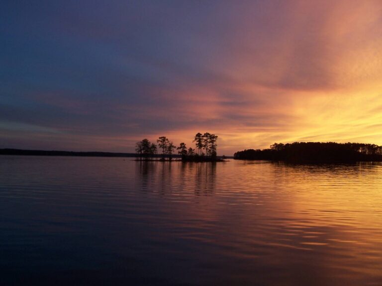
Photo: Mark Bonica (CC BY 2.0)
Getting to Mistletoe State Park
Parking, trailheads and gates near Mistletoe State Park
- Parking areaParking · 0.2 mi from the centreDirections
- Parking areaParking · 0.3 mi from the centreDirections
- Parking areaParking · 0.5 mi from the centreDirections
- Parking areaParking · 0.5 mi from the centreDirections
- Parking areaParking · 0.6 mi from the centreDirections
- Primitive/walk-in parkingParking · 1.2 mi from the centreDirections
- Parking areaParking · 1.2 mi from the centreDirections
Parking, trailhead and gate locations come from OpenStreetMap contributors. Roads into public land can be gated or seasonal; check with the managing agency before you go.
Mistletoe State Park in brief
Sitting in Columbia County, Mistletoe State Park is a state park that opens for scheduled WRD hunts. Region 3 staff in Thomson cover it for WRD. The managing agency is the Georgia DNR State Parks & Historic Sites Division (hunts administered with WRD). By area (1,920 acres) it comes 6th of the 13 state parks. Roughly 7 miles separates it from Appling, the closest town page on this site.
County context for Mistletoe State Park
| County | County seat | Population | Either-sex zone | Bear | Alligator | Game Check deer 2025 |
|---|---|---|---|---|---|---|
| Columbia County | Appling | 167,472 | Green | None | Zone 9 | 1,385 |
From the source page (Georgia 2026-27 Hunting Regulations (eRegulations) area listing); counties and zones from the WRD county zone tables; county deer counts from WRD Game Check; population from the Census 2024 estimates. Checked October 13, 2026.
Nearby
Places to hunt and shoot around Mistletoe State Park
The 2026-27 Mistletoe State Park hunt calendar
Game with dates here this year: deer (1 line in all). 1 hunt is quota only, with 75 hunter slots between them; apply on Go Outdoors Georgia. Other marks in the list: 1 bonus deer line.
| Game | Hunt | Dates | Symbols | Notes |
|---|---|---|---|---|
| Deer | Firearms | Nov. 17-18 | Quota 75 Bonus deer | Bag limit: 5, no more than 2 antlered |
Dates and symbols from the 2026-27 Georgia regulations listing, wording as printed by the source. Checked October 13, 2026.
Mistletoe State Park: rules before the first hunt
Area rules first, then licenses, orange and bait.
Getting in at Mistletoe State Park
Hunting only during the listed state park hunts (mostly quota hunts); follow park check-in rules. Apply for quota hunts through Go Outdoors Georgia.
- No ATVs
License costs for Mistletoe State Park
Residents can skip the separate licenses with a Sportsman's License. Deer, bear and turkey hunters of any age carry the free Harvest Record.
Statewide rules at Mistletoe State Park
Georgia accepts blaze pink as well as orange: 500 square inches, worn above the waist, in gun and muzzleloader deer and bear hunts. Baiting is banned for any game or feral hog on state and federal land, WMAs and national forests included. Game Check reporting is due within 24 hours of harvest.
Mistletoe State Park: quota deadlines
Apply online by the deadline; points accumulate for every year you are not selected.
Finding Mistletoe State Park
From Thomson I-20: Travel East 3.0 miles to Exit 175, Hwy. 150; turn left, go 7.9 miles to Mistletoe Rd; turn left, go 3.0 miles to park entrance.
What hunters report from Mistletoe State Park
Spring 2018 brought 1 reported gobbler; the table sums to 1. Only reported animals appear here; WRD adjusts for non-reporting at county level, not per area.
Turkeys reported from Mistletoe State Park
| Season | Reported gobblers |
|---|---|
| Spring 2018 | 1 |
Deer from WRD deer harvest reports, turkeys from WRD turkey harvest layer; as of 2026-10-13. Checked October 13, 2026.
Game at Mistletoe State Park, with limits
The listing and the manager name whitetails and feral hogs for Mistletoe State Park.
Feral hog
Species from the area record; bag limits from the WRD bag limit table. Checked October 13, 2026.
About the land at Mistletoe State Park
From the agency page, word for word.
In the agency's own words
Prior to hunting, hunters must check in with the Park Office or Check-in Station for site specific information, or attend a pre-hunt meeting scheduled the day before the hunt. Hunt participants will be charged a $30 nonrefundable, nontransferable hunt fee and a Park Pass is required. Cabins and campsites may be reserved by calling the park office at (706) 541-0321. All park access is closed to the public during the hunt.
Coyotes and Feral Hogs may be taken during deer hunts.
Text and lists from the source page, WRD GIS, WRD GIS, WRD GIS; retrieved 2026-10-13, checked October 13, 2026.
Mistletoe State Park plotted with nearby areas
Mistletoe State Park sits at the orange pin, with 12 public neighbours inside 30 miles. Published acres across them: 22,791.
| Neighbour | Type | Acres | Miles off | Direction | Deer, last season |
|---|---|---|---|---|---|
| Keg Creek WMA | WMA | 800 | 4 mi | east | 9 |
| Germany Creek WMA | WMA | 1,200 | 6 mi | southwest | 21 |
| Clarks Hill WMA – East | WMA | 10,224 | 9 mi | west | 159 |
| J. Strom Thurmond Lake (Clarks Hill Lake) | Corps lake | — | 10 mi | east | 327 |
| Clarks Hill WMA – West | WMA | 3,067 | 10 mi | southwest | 159 |
| Soap Creek WMA | WMA | 1,000 | 14 mi | north | 12 |
| McDuffie PFA | Public fishing area | 600 | 19 mi | south | — |
| Fishing Creek WMA | WMA | 2,900 | 19 mi | northwest | 18 |
| Fort Eisenhower (formerly Fort Gordon) | Army post | — | 22 mi | south | 189 |
| Richard B. Russell Lake | Corps lake | — | 24 mi | northwest | 121 |
| Lower Broad River WMA | WMA | 1,500 | 28 mi | northwest | 23 |
| Phinizy Swamp WMA | WMA | 1,500 | 28 mi | southeast | 1 |
Points from WRD, USFS, USFWS, NPS, DoD and Recreation.gov layers (WRD WMA Boundary GIS (polygon centroid)). Distances are straight-line. Statewide public land map.
Mistletoe State Park: nearest towns and businesses
Closest towns first; businesses by county and distance.
| Town | County | Distance | People | Public acres, 10 mi |
|---|---|---|---|---|
| Appling | Columbia | 7 mi | — | 3,795 |
| Lincolnton | Lincoln | 12 mi | 1,431 | 5,554 |
| Thomson | McDuffie | 14 mi | 6,792 | 5,266 |
| Grovetown | Columbia | 17 mi | 17,843 | 41,970 |
County guides: Columbia County.
Services close to Mistletoe State Park
Agency offices by Mistletoe State Park
Towns and populations from the Census 2024 estimates; public acres within 10 miles from WRD, USFS, USFWS and DoD layers; businesses from WRD lists, store locators and listings; offices from WRD, DNR Law Enforcement and USFS pages. Checked October 13, 2026. Call ahead.
Mistletoe State Park: nearest ranges
For a public range, drive about 9 miles to Clarks Hill Archery Range. Closer private options sit beside it.
Facilities: 7 3D targets
Lines for archery and 3D archery
From the WRD range list and the GA DNR range layer, checked October 13, 2026.
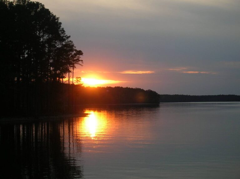
First and last light at Mistletoe State Park
Deer, turkey and small game hunters get 30 minutes of light on each side of the day; dove and waterfowl hunters quit at sundown.
Worked out for Mistletoe State Park in Eastern time from the rule in the Georgia DNR Wildlife Resources Division guide (hunting hours). Hogs, coyotes, raccoons and some furbearers may be hunted at night on private land; check the guide. Shooting hours for every county.
Mistletoe State Park: what hunters ask
How do I get a quota permit for Mistletoe State Park?
Apply for the 1 quota lines through Go Outdoors Georgia.
Which species can I hunt on Mistletoe State Park?
The record lists whitetails and feral hogs.
Which quota zone holds Mistletoe State Park?
Zone 9, quota permit holders only.
Can I camp on Mistletoe State Park?
Designated camping is available.
Can I wear pink instead of orange on Mistletoe State Park?
Yes in gun and primitive weapons big game hunts: 500 sq in, orange or pink.
What areas neighbour Mistletoe State Park?
Close by: Keg Creek WMA (4 miles), Germany Creek WMA (6 miles) and Clarks Hill WMA – East (9 miles), straight-line.
Does the private-land bait rule apply on Mistletoe State Park?
No, public land is closed to baiting.
How fast must I report a kill on Mistletoe State Park?
Within 24 hours, by app, online or by phone at 1-800-366-2661.
Is Mistletoe State Park big enough for a full day?
Published acreage: 1,920.
Which agency is in charge of Mistletoe State Park?
The Georgia DNR State Parks & Historic Sites Division (hunts administered with WRD) is the manager; the ground is a state park that opens for scheduled WRD hunts.
What does Mistletoe State Park require before a hunt?
Hunting only during the listed state park hunts (mostly quota hunts); follow park check-in rules. Apply for quota hunts through Go Outdoors Georgia.
Which town makes a good base for Mistletoe State Park?
In Columbia County, about 7 miles from Appling.
Mistletoe State Park, the last word
Double-check Mistletoe State Park with its manager: open areas, gates, sign-in and any drawn hunts.
Sources for this page: Georgia regulations: state park hunting opportunities · WRD GIS · WRD GIS · WRD GIS; regulations from the 2026-27 Georgia hunting regulations. Checked October 13, 2026.
Other photos on this page: U.S. Fish & Wildlife Service Southwest Region (Public Domain Mark 1.0); USFWSmidwest (Public domain).