Home › Colorado › Public land › Map
Colorado public land map
Colorado public hunting land map
701 pins for State Wildlife Areas, trust land parcels, parks, forests, grasslands, BLM offices, refuges and military land. Tap a pin for the place page.
Photo: Max and Dee Bernt (CC BY 2.0)
Every Colorado hunting place on one map
Each pin sits at the centre of a place, or at a point inside it when the centre falls outside the boundary. Large forests and BLM offices get one pin each, so zoom in on the place page for nearby parcels. Ranger districts share their forest pin and are not plotted again.
Points from lands.json (CPW Managed Properties layer, COMaP federal polygons, FWS Interest, NPS boundaries, DoD MIRTA) Checked November 5, 2026.
What the Colorado map pins show
Pins by kind. Programs with scattered or private parcels (Walk-In Access, Ranching for Wildlife, the Bighorn Sheep Access Program and the statewide STL and BLM records) have no single point and are not on the map.
| Kind | Pins |
|---|---|
| State trust land | 409 |
| SWA | 224 |
| State park | 31 |
| National forest | 12 |
| BLM field office | 10 |
| Refuge | 6 |
| Military | 3 |
| Recreation area | 2 |
| National grassland | 2 |
| NPS recreation area | 1 |
| NPS preserve | 1 |
Reading the Colorado land map
A trust land pin marks the centre of the parcel polygon, so it is only a starting point: load the CPW STL boundary layer or the CPW Hunting Atlas before you drive. SWA pins sit at the centre of the largest parcel of the property. National forest and BLM pins are placed on federal land inside the unit boundary, not on private inholdings. Closed places are not pinned. The public land hub lists all of them with the reason and the agency source.
Colorado land pins by CPW region
Pins by CPW region. The Northeast and Southeast regions hold most of the trust land parcels on the plains; the two western regions hold most of the national forest and BLM ground.
| CPW region | Pins | CPW pins (SWA and STL) | Federal pins |
|---|---|---|---|
| Northeast Region | 153 | 140 | 4 |
| Northwest Region | 207 | 184 | 11 |
| Southeast Region | 197 | 185 | 6 |
| Southwest Region | 144 | 124 | 14 |
Colorado land pins by county
Pins by county, counting each place in its first-listed county. Moffat County has the most, 94 pins; open a county page for the GMUs, seasons and services there.
| County | Pins | Region |
|---|---|---|
| Moffat County | 94 | Northwest |
| Park County | 33 | Northeast |
| Fremont County | 32 | Southeast |
| Larimer County | 30 | Northeast |
| Jackson County | 29 | Northwest |
| Routt County | 28 | Northwest |
| Weld County | 28 | Northeast |
| Saguache County | 27 | Southwest |
| Conejos County | 26 | Southwest |
| Otero County | 25 | Southeast |
| Baca County | 21 | Southeast |
| Gunnison County | 20 | Southwest |
| Huerfano County | 20 | Southeast |
| Las Animas County | 19 | Southeast |
| Grand County | 19 | Northwest |
| Logan County | 16 | Northeast |
| Yuma County | 16 | Northeast |
| Chaffee County | 14 | Southeast |
| Mesa County | 13 | Northwest |
| Morgan County | 12 | Northeast |
| San Miguel County | 12 | Southwest |
| Bent County | 9 | Southeast |
| Rio Blanco County | 9 | Northwest |
| Custer County | 9 | Southeast |
| Montezuma County | 9 | Southwest |
| Garfield County | 8 | Northwest |
| Rio Grande County | 8 | Southwest |
| Dolores County | 7 | Southwest |
| Prowers County | 7 | Southeast |
| Alamosa County | 7 | Southwest |
Scenes from mapped Colorado land

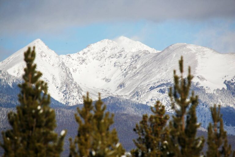
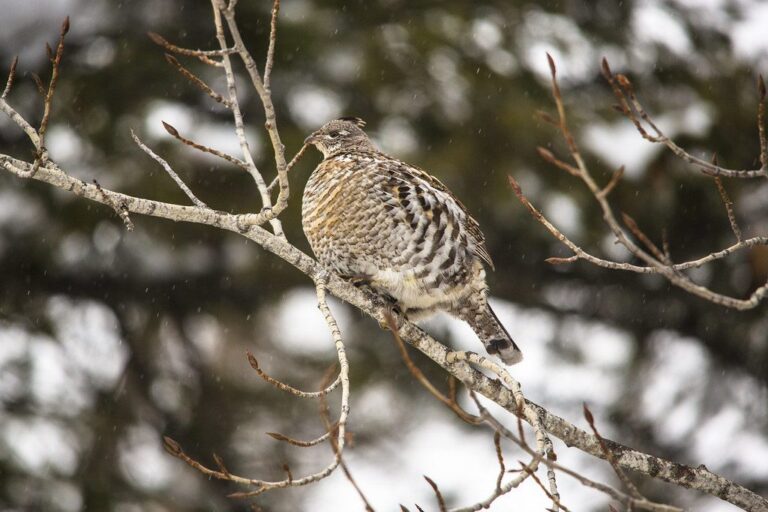
Other photos on this page: U.S. Department of Agriculture (Public Domain Mark 1.0); Bob Denaro (CC BY 2.0); GlacierNPS (Public domain).