Home › Idaho › Public land › State land
Idaho public land
Idaho State Land for Hunters
Endowment land and the 4 state parks the 2026 brochure opens to hunting.
Photo: Fredlyfish4 (CC BY-SA 4.0)
Endowment land and the four open Idaho state parks
Idaho Department of Lands endowment land is a statewide record of scattered sections; Land Board policy allows public recreation on it within limits, and the 2026 IDFG brochure lists it among its hunting access programs.
The brochure closes all state parks to hunting except four: Billingsley Creek Unit of Thousand Springs, Castle Rocks, City of Rocks state park lands and Farragut (archery only). The other 24 parks are on the closed list.
Idaho State Endowment Land
Acreage: 2,442,422 acres (PAD-US 4.1 Fee GIS acres, manager SDOL (Idaho Department of Lands))
Area rules: Overnight visitors north of Lake Pend Oreille (Unit 1) must store attractants bear-safe; 1/4-mile no-camping buffer around livestock structures
Stated management: Land Board allows public recreation if it does not degrade the land, interfere with management or reduce long-term return to beneficiaries
Managed by: Idaho Department of Lands, working from 16 offices statewide, manages about 2.5 million acres of endowment land
History: Mission: manage endowment assets to maximize long-term financial returns to the public schools and other trust beneficiaries
Land Board policy allows for public recreation on endowment lands provided those activities do not degrade the lands, interfere with management activities, or otherwise negatively affect the long-term financial return to beneficiaries. The 2026 IDFG brochure lists Idaho State Endowment Lands among its hunting access programs.
– · Own page
Idaho Department of Lands page · Big Game 2026 Seasons and Rules · Agency map layer
Farragut State Park
Acreage: 3,918 acres (PAD-US GIS acres (whole park))
Area rules: archery only
Special hunts: named in 22 IDFG hunt area descriptions
History: WWII Farragut Naval Training Station (1942-1946, 293,381 sailors); Farragut College 1946-49; to the state in 1949, state park in 1965
Named waters: Southern tip of Lake Pend Oreille incl. Idlewilde Bay; Eagle Boat Launch is the only major boat access on the south end
Facilities: 265 campsites, 6 equestrian sites, 10 cabins, 6 group camps, over 40 miles of trails, Museum at the Brig, Eagle Boat Launch
Game named: Mountain goats live on Bernard Peak across Idlewilde Bay
Farragut State Park is open to hunting by archery only (2026 brochure).
Kootenai · Own page
Billingsley Creek Unit of Thousand Springs State Park
Acreage: 1,928 acres (PAD-US GIS acres (whole park))
Area rules: PAD-US geometry is the whole Thousand Springs State Park; only the Billingsley Creek Unit is open.
History: Before it became a state park it was the Emerald Valley Ranch, used primarily for agriculture
Facilities: Billingsley Creek Campground (50 full-hookup sites), indoor horse-riding arena and the shared Thousand Springs/Hagerman Fossil Beds visitor center
Named waters: Billingsley Creek, open for fishing and wildlife viewing sunrise to sunset
Billingsley Creek Unit of Thousand Springs State Park is open to hunting (2026 brochure exception to the state park closure).
Gooding · Own page
City of Rocks state park lands
Acreage: 648 acres (PAD-US GIS acres (whole park))
History: Established in 1988 as a national reserve; an important landmark on the California Trail
Habitat and cover: Granite spires and monoliths up to 60 stories tall; oldest granite estimated over 2.5 billion years
Area rules: Reserve covers 14,407 acres, about one quarter privately owned; day-use 7 am to 10 pm per IDAPA 26.01.20; winter access via Almo
State park lands within the City of Rocks National Reserve are open to hunting (2026 brochure).
Cassia · Own page
Castle Rocks State Park
Acreage: 284 acres (PAD-US GIS acres (whole park))
Habitat and cover: Campsites nestled among Idaho's largest pinyon pine forest on the east slope of 7,500-foot Smoky Mountain
History: Visited for nearly 9,000 years; Native American pictographs, historic trail crossings and 20th-century ranching remnants
Facilities: Smoky Mountain Campground (37 serviced, 6 equestrian sites), a yurt, the Ranch House and Almo Creek Cottage; visitor center
Named waters: Almo Creek and its willow thickets, sheltering wildlife from migratory birds to moose
Area rules: Winter access via Oakley not recommended (roads can close); use Almo; all users must comply with IDPR rules
Castle Rock State Park is open to hunting (2026 brochure exception to the state park closure).
Cassia · Own page
From the IDL endowment land page, the Idaho Big Game 2026 Seasons and Rules and PAD-US 4.1; checked November 12, 2026.
The 24 Idaho state parks closed to hunting
These parks are closed under the brochure rule for all state parks, so no hunting is allowed in them.
| Closed park | Counties |
|---|---|
| Bayhorse State Park | Custer |
| Bear Lake State Park | Bear Lake |
| Bruneau Dunes State Park | Owyhee |
| Coeur d'Alene Parkway SP | Kootenai |
| Dworshak State Park | Clearwater |
| Eagle Island State Park | Ada |
| Enid Nesbitt Memorial SP | Bonner |
| Glade Creek State Park | Idaho |
| Harriman State Park | Fremont |
| Hells Gate State Park | Nez Perce |
| Henrys Lake State Park | Fremont |
| Heyburn State Park | Benewah, Kootenai |
| Lake Cascade State Park | Valley |
| Lake Walcott State Park | Minidoka |
| Land of the Yankee… | Custer |
| Lucky Peak State Park | Ada, Boise |
| Mary Minerva McCroskey SP | Latah, Benewah |
| Massacre Rocks State Park | Power |
| Old Mission State Park | Kootenai |
| Ponderosa State Park | Valley |
| Priest Lake State Park | Bonner |
| Round Lake State Park | Bonner |
| Three Island Crossing SP | Elmore |
| Winchester Lake State Park | Lewis |

Green Palouse wheat hills and a farmstead east of MoscowPhoto: Robert Ashworth (CC BY 2.0)
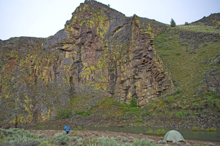
A green lichen-covered cliff above Deep Creek in the Owyhee canyonlandsPhoto: Bureau of Land Management Idaho (CC BY 2.0)
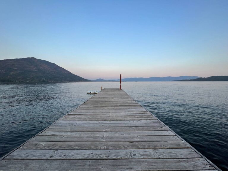
A wooden dock reaching into calm Lake Pend Oreille at duskPhoto: daveynin (CC BY 2.0)