Home › Kentucky › Public land › Public land map
Kentucky · map
Kentucky Public Hunting Land Map
140 mapped hunting areas on one map, each pin linking to its own page; 4 records have no published point yet.
Photo: Brian Truskey (posted by Land Between The Lakes National Recreation Area) (Public Domain Mark 1.0)
Every mapped area on one map
Pins sit at each area's KDFWR polygon centre (or a point inside the polygon when the centre falls outside), not at a parking lot. Use the entrance coordinates on each area page to navigate, and the KDFWR maps for boundaries.
What the map pins show
Most pins are KDFWR wildlife management areas, spread across all five regions. National forest districts and campground hunt areas overlap the forest itself, so some pins sit inside larger areas.
| Kind | Pins | Hub |
|---|---|---|
| Wildlife management areas | 102 | Wildlife management areas |
| State parks | 9 | State parks and forests |
| Hunting access areas | 5 | Hunting access areas |
| State forests | 5 | State parks and forests |
| Ranger districts | 4 | National forests |
| National wildlife refuges | 4 | Wildlife refuges |
| Military installations | 3 | Federal lands |
| National forests | 2 | National forests |
| Campground hunt areas | 2 | National forests |
| Outdoor recreation areas | 1 | State parks and forests |
| Training areas | 1 | Federal lands |
| National recreation areas | 1 | Federal lands |
| National river and recreation areas | 1 | Federal lands |
Hunting places not yet on the map
These records have no published coordinates yet, so they are not on the map:
- Crow Creek WMA · New WMA opened Nov. 4, 2026: not yet in the KDFWR Public Hunting Areas layer, the quick reference charts or the Public Lands Search, so no boundary, coordinates or detail page.
- Muddygut WMA · New WMA opened Nov. 4, 2026: not yet in the KDFWR Public Hunting Areas layer, the quick reference charts or the Public Lands Search, so no boundary, coordinates or detail page.
- KDFWR Hunting Access Areas · 2026-27 guide, Public Lands Hunting: "The department also has agreements that allow public access to privately owned lands known as Hunting Access Areas." and "HUNTER ACCESS AREAS (HAAs) These areas are ac
- Wolf Creek State Forest · State forest bought in 2026 and open to hunting per the Kentucky Division of Forestry quick guide, but not on any KDFWR list (no boundary, coordinates or KDFWR page).
Mapped areas by KDFWR region
Larger areas first, eight per region; the full lists are on the WMA and public land hubs.
Purchase Region
Green River Region
Bluegrass Region
Northeast Region
How much of each region has public land
92 of Kentucky's 120 counties hold at least part of a listed hunting area; the other 28 have none, so hunters there look across the county line. The table shows how the pins and covered counties spread over the five KDFWR wildlife regions. A big multi-county area such as the national forest counts once in every county it touches.
| Region | Pins | Counties with land | Counties |
|---|---|---|---|
| Purchase | 24 | 14 | 14 |
| Green River | 18 | 17 | 25 |
| Bluegrass | 21 | 17 | 31 |
| Northeast | 25 | 17 | 21 |
| Southeast | 52 | 27 | 29 |
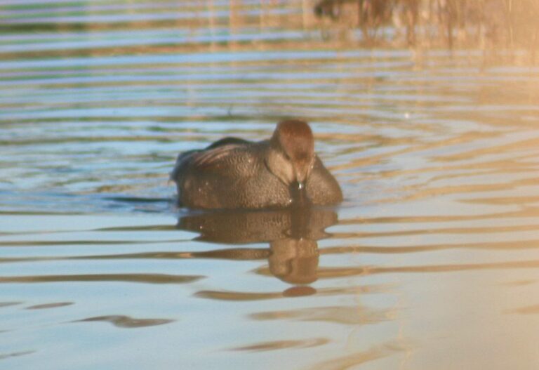
Male gadwall duckPhoto: born1945 (CC BY 2.0)
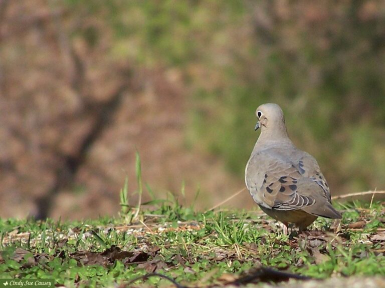
Mourning dove on the groundPhoto: Cindy Sue Causey (CC BY 2.0)

Wood duck drake swimming on rippled waterPhoto: DaPuglet (CC BY-SA 2.0)