Home › Montana › Public land › National wildlife refuges
Checked November 19, 2026
Montana national wildlife refuges, Indexed for Hunters
From 20 counties, 23 refuge and wetland district records are listed with acres, entry rules and source links.
The photo above is regional landscape, chosen to set the mood and not to picture a place.
Photo: U.S. Forest Service Northern Region (CC BY 2.0)
National wildlife refuges, what the data adds up to
Counting records, there are 23 refuge and wetland district records; their printed acres total 1,198,699 and they reach 20 counties.
On acreage, Charles M Russell NWR wins with 953,899, and Red Rock Lakes NWR and UL Bend NWR take second and third.
Hunting is allowed in designated parts only, and 18 refuge pages and 5 district pages explain which.
Counts from the Montana land records (FWP public lands page, FWP lands layers, Forest Service, BLM, Fish and Wildlife Service and DNRC pages), retrieved November 19, 2026; checked November 19, 2026. Acres are printed size and not checked against a survey.
Land list
| Place | Category | Located in | Acres listed | Status |
|---|---|---|---|---|
| Benton Lake NWR | Refuge | 3 counties | 12,344 | Designated areas |
| Benton Lake WMD | Wetland district | Statewide | – | Designated areas |
| Black Coulee NWR | Refuge | Blaine | 1,310 | Designated areas |
| Bowdoin National Wildlife Refuge | Refuge | Phillips | 15,484 | Designated areas |
| Bowdoin Wetland Management District | Wetland district | Statewide | – | Designated areas |
| Charles M Russell NWR | Refuge | 6 counties | 953,899 | Designated areas |
| Charles M Russell WMD | Wetland district | Statewide | – | Designated areas |
| Creedman Coulee NWR | Refuge | Hill | 84 | Designated areas |
| Grass Lake NWR | Refuge | Stillwater | 4,041 | Designated areas |
| Hailstone National Wildlife Refuge | Refuge | Stillwater | 156 | Designated areas |
| Hewitt Lake NWR | Refuge | Phillips | 718 | Designated areas |
| Lake Mason NWR | Refuge | Musselshell | 18,077 | Designated areas |
| Lake Thibadeau NWR | Refuge | Hill | 23 | Designated areas |
| Lamesteer National Wildlife Refuge | Refuge | Statewide | – | Designated areas |
| Lee Metcalf NWR | Refuge | Ravalli | 2,904 | Designated areas |
| Lost Trail NWR | Refuge | Flathead | 8,876 | Designated areas |
| Medicine Lake NWR | Refuge | Sheridan, Roosevelt | 31,399 | Designated areas |
| Northeast Montana WMD | Wetland district | Statewide | – | Designated areas |
| Northwest Montana WMD | Wetland district | Statewide | – | Designated areas |
| Red Rock Lakes NWR | Refuge | Beaverhead, Madison | 87,869 | Designated areas |
| Swan River NWR | Refuge | Lake | 1,935 | Designated areas |
| UL Bend NWR | Refuge | Phillips | 56,733 | Designated areas |
| War Horse NWR | Refuge | Petroleum | 2,847 | Designated areas |
Counts and names from the Montana land records, retrieved November 19, 2026.
Where these lands sit

Upper Missouri Wild and Scenic River, MontanaPhoto: Bureau of Land Management (CC BY 2.0)
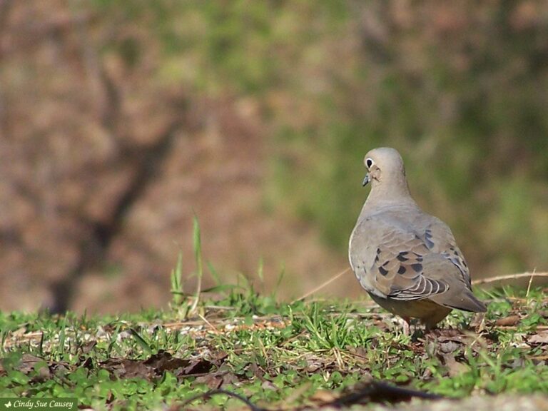
Mourning dove on the groundPhoto: Cindy Sue Causey (CC BY 2.0)
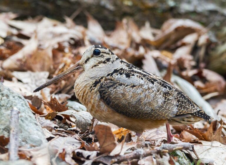
American woodcock in the woodsPhoto: ShenandoahNPS (Public domain)
Brief answers about refuge and wetland district records
What about hunting between the high water marks?
Hunting game animals between the ordinary high water marks of a stream needs landowner permission, while upland game birds and waterfowl may be hunted below the mark, with permission needed to retrieve above it.
What size is the list of national wildlife refuges for this state?
There are 23 records across 20 counties and 1,198,699 printed acres on file.
Which of the refuges spreads over the most ground?
At 953,899 acres, Charles M Russell National Wildlife Refuge outweighs every other record in this group (Charles M Russell NWR).
Is advance booking part of using the refuges?
Refuge hunting is limited to designated areas under 50 CFR 32.45 and Montana rules, and some refuges ask hunters to make contact before they go. Check the page before you drive.
Can bait, snares or set guns be used on the refuges?
The rule is statewide: food, salt, traps, snares and set guns may not be used on game animals or game birds (hunting laws page).
Is there a pin map that shows the refuges?
Pick by county, by name in the filter, or by pin on the land map, then open the page for distances to the closest towns.
Do all the state parks admit hunters?
Check the closed list: 55 places are shut to hunters, from state parks to reservations.
Is the Conservation License part of the price for the refuges?
Start with $10 plus $8 (resident) or $50 plus $10 (nonresident), then buy the species license (license page).
What is the square-inch rule for hunter orange?
The orange rule is statewide at 400 square inches above the waist (hunting laws page).
From the table to the trailhead
Check access, seasons and permits with the managing agency before the truck is loaded.